RV Tent Sites
Campground
Campground · 1.5 mi from the trail
 Photo: lamblukas, CC BY 2.0 (via Flickr)
Caution today
Weather is marginal · OpenWeather · checked 10 h ago
The California Coastal Trail through Humboldt Lagoons State Park is an out-and-back hike that covers about 20 miles with a total elevation gain and loss of roughly 1,600 feet. The route starts at about 19 feet and peaks at 322 feet. It is rated hard. The trail runs within Humboldt Lagoons State Park, which is managed by State Park and Recreation. The climb is steady, and the steepest part comes around mile 3.1, where the grade reaches about 18 percent. Summer is the most comfortable time to go. Typical averages from a nearby weather station show August highs around 69°F with lows near 49°F, and the station sits at a similar elevation to the trail. Winter brings highs in the low 50s and lows in the mid to upper 30s. The trip takes about 7.5 hours. Climbers will find the Awkward Turtle and Cormorant Rock and Awkward Turtle climbing areas about 0.3 miles away. The Azalea Nature Trail is about half a mile off, and Elam Creek Loop is about 3.9 miles away.
RV Tent Sites
Campground
Places © OpenStreetMap contributors
More in HoopaCormorant Rock and Awkward TurtleRock climbingPhoto: lamblukas, CC BY 2.0 (via Flickr)0.3 miAzalea Nature TrailHikingPhoto: lamblukas, CC BY 2.0 (via Flickr)0.5 miSource: Roamze catalog (indexable pages within 10 miles, PostGIS distance)
 Dry Lagoon to Stone Lagoon Campground Beach TrailHiking · ~1 min drivePhoto: npdoty, CC BY 2.0 (via Flickr)
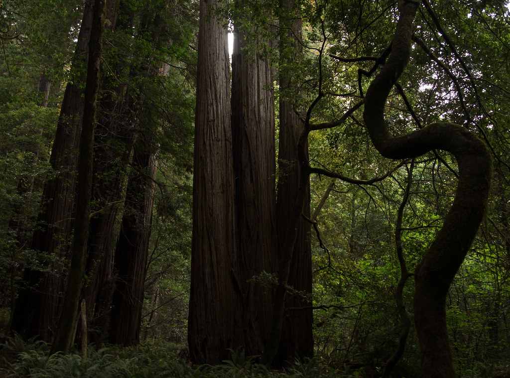 44 Camp TrailHiking · ~9 min drivePhoto: Justin Dolske, CC BY-SA 2.0 (via Flickr)
 Ridge LoopHiking · ~12 min drivePhoto: Wsiegmund, CC BY 2.5 (via Wikimedia Commons)
 Rim TrailHiking · ~9 min drivePhoto: lamblukas, CC BY 2.0 (via Flickr)
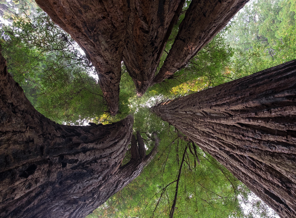 Tall Trees Loop TrailHiking · ~9 min drivePhoto: Justin Dolske, CC BY-SA 2.0 (via Flickr)
 Berry Glen TrailHiking · ~14 min drivePhoto: Aleksandr Zykov, CC BY-SA 2.0 (via Flickr)
Best months: March–November. Best months have typical highs of 55–85 °F, lows of 30 °F or warmer (32 °F where the station doesn't record snow), at most one snowy day and no more than 12 wet days.
Jan
52° / 36°
Feb
54° / 37°
Mar
56° / 37°
Apr
58° / 39°
May
61° / 43°
Jun
64° / 46°
Jul
67° / 49°
Aug
69° / 49°
Sep
69° / 45°
Oct
65° / 42°
Nov
56° / 39°
Dec
51° / 36°
Typical high / low (°F) and days with rain or snow, 1991–2020. Measured at Orick Prairie Creek Park, CA, 11.3 mi away at 160 ft. This station doesn't record snowfall. Source: NOAA NCEI U.S. Climate Normals 1991–2020.
Map and trail data © OpenStreetMap contributors
