Summit Meadow/Lookout Peak
Campground
Campground · < 0.1 mi from the trail
Closure in the area
There's a closure order in Sequoia National Forest. It doesn't name Lookout Peak, so check the source for the area it covers (2 listed).
Tule River Glass Container Prohibition Area
Agency closure covering Sequoia National Forest · Order 0513-26-02 · USFS · Sequoia National Forest
Trail of 100 Giants Boardwalk and Area Closure
Agency closure covering Sequoia National Forest · Order 0513-26-03 · USFS · Sequoia National Forest
PUBLIC NUDITY PROHIBITION - Sequoia National Forest
Agency alert covering Sequoia National Forest · Order 0513-26-06 · USFS · Sequoia National Forest
Chico Flat Dispersed Camping Area Prohibition 26-27
Agency alert covering Sequoia National Forest · Order 0513-26-09 · USFS · Sequoia National Forest
Wildlife Alert - BEARS
Agency alert covering Sequoia National Forest · USFS · Sequoia National Forest
As of · Source: USFS · Sequoia National Forest. Agencies don't list every closure — check before you go.
Lookout Peak is an easy, out-and-back hike of about 1.2 miles in Kings Canyon National Park, within the Hume Lake Ranger District of Sequoia National Forest in California. The National Park Service manages the land, and the trail starts at the Don Cecil - Upper Trailhead, which is open year round. The climb runs from about 7,995 feet to about 8,516 feet, with a one-way elevation gain of roughly 493 feet. The trail surface is natural, and horses and bikes are both allowed. Summer is the most comfortable time to go. At the Huntington Lake weather station, about 42 miles away, typical July and August highs average around 74°F with lows near 49°F and only one or two wet days a month. Winter there is cold, with typical highs in the low 40s and lows around 24°F. That station sits roughly 1,500 feet lower than the peak, so temperatures on top run cooler. Nearby, Deer Cove and Lightning Creek are hikes about 2.4 to 2.5 miles away. The Kings Canyon climbing area is about 2.6 miles off, and Sentinel Campground, with saltwater fishing, is about 2.9 miles away.
Summit Meadow/Lookout Peak
Campground
 If it rainsDavid Fulmer, CC BY 2.0 · Wikimedia Commons
Giant Forest Museum
Museum
Places © OpenStreetMap contributors · Photos: David Fulmer, CC BY 2.0 (commons)
More in Silver CityNot on Roamze yet. Their page has how to reach them.
Best months: May–October. Best months have typical highs of 55–85 °F, lows of 30 °F or warmer (32 °F where the station doesn't record snow), at most one snowy day and no more than 12 wet days.
Jan
43° / 24°
11 wet
Feb
44° / 23°
11 wet
Mar
46° / 26°
10 wet
Apr
50° / 29°
8 wet
May
56° / 36°
6 wet
Jun
66° / 42°
3 wet
Jul
74° / 49°
2 wet
Aug
74° / 49°
1 wet
Sep
68° / 44°
2 wet
Oct
58° / 37°
4 wet
Nov
49° / 31°
8 wet
Dec
44° / 25°
10 wet
Typical high / low (°F) and days with rain or snow, 1991–2020. Measured at Huntington Lake, CA, 42.2 mi away at 7,020 ft. The station sits about 1,500 ft lower than this place, so expect it a little cooler here. This station doesn't record snowfall. Source: NOAA NCEI U.S. Climate Normals 1991–2020.
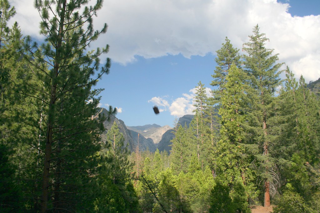 Photo: Genista, CC BY-SA 2.0 (via Flickr)
Lightning Creek
~4 min drive
0.68-mile out-and-back trail in California's National Park Service system with 53 ft of elevation gain.
HIKE
Lewis Creek Trailhead
~4 min drive
This trailhead orientation panel shows a map and images of the Lewis Creek Trail area. Lewis Creek Trail is a 9.8 miles one-way trail at a difficult incline. This can be a hot and dusty climb, and the trail becomes difficult to follow north of Kennedy Pass. The trail offers…
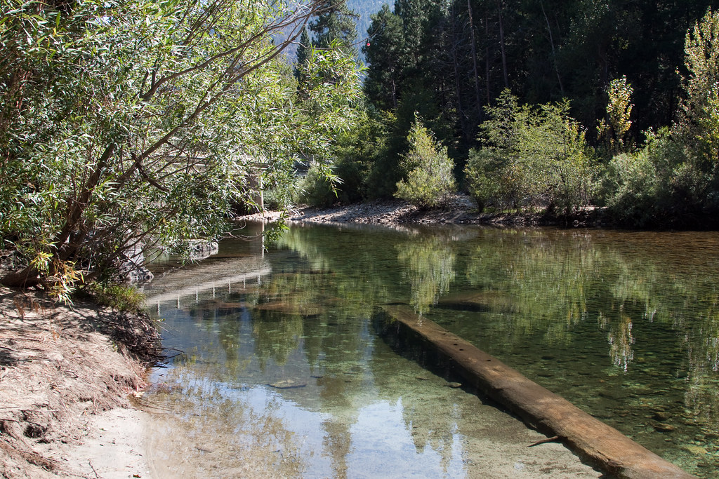 Photo: jimmyharris, CC BY 2.0 (via Flickr)
Lower Lewis Creek
~4 min drive
1.92-mile out-and-back trail in California with 1,222 ft gain and 5,782 ft max elevation.
Photo: jimmyharris, CC BY 2.0 (via Flickr)Hotel-Lewis Connector
~4 min drive
1.4-mile out-and-back trail in California with 210 ft elevation gain.
HIKE
Don Cecil Trailhead
~5 min drive
The 4.4 mile one-way (8.8 mile round-trip) Don Cecil Trail is a steep climb along the north-facing slope of Kings Canyon. If you're looking for a shorter hike, Sheep Creek Cascade is about a mile up the trail and offers a shady spot to sit and relax. This historic trail was…
 Photo: NPS staff, Public domain (via Wikimedia Commons)
Hotel-Creek
~6 min drive
3.02-mile out-and-back trail in California with 1,404 ft gain and max elevation 6,191 ft.
Photo: jimmyharris, CC BY 2.0 (via Flickr)Cedar Grove Overlook
~5 min drive
0.46-mile out-and-back trail to Cedar Grove Overlook in California's National Park Service system.
 Photo: Tom Hilton, CC BY 2.0 (via Wikimedia Commons)
Happy Gap
~9 min drive
8-mile out-and-back trail in California with 2,742 ft of elevation gain.
Photo: jimmyharris, CC BY 2.0 (via Flickr)Upper Lewis Creek
~6 min drive
4.07-mile out-and-back trail in California with 2,096 ft elevation gain.
Photo: NPS staff, Public domain (via Wikimedia Commons)Cedar Grove Bike Path
~5 min drive
0.56-mile out-and-back bike path in California with 43 ft of elevation gain.
Season: Year-round.
About 1.2 mi round trip from Don Cecil - Upper Trailhead (about 8,002 ft).
About 493 ft of climbing round trip.
It is rated easy.
Don Cecil - Upper Trailhead (about 8,002 ft).
Year-round.
2: Lookout Peak and Don Cecil Trailhead.
Daily highs and lows, wind and the chance of precipitation at the summit and route start for the next 7 days, from the Open-Meteo model.


