Upper Pine Grove Campground
Campground
Campground · 0.6 mi from the trail
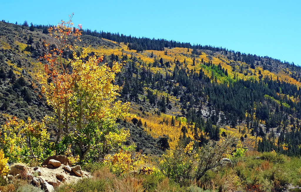 Photo: inkknife_2000 (14 million views), CC BY-SA 2.0 (via Flickr)
Alert in the area
The Forest Service lists 3 alerts for Inyo National Forest.
Help Halt Golden Mussel Invasion
Agency alert covering Inyo National Forest · USFS · Inyo National Forest
Ansel Adams and John Muir Wilderness Campfire Restrictions
Agency alert covering Inyo National Forest · Order 05-04-50-25-04 · USFS · Inyo National Forest
Golden Trout and Hoover Wilderness Campfire Restrictions
Agency alert covering Inyo National Forest · Order 05-04-50-25-05 · USFS · Inyo National Forest
As of · Source: USFS · Inyo National Forest. Agencies don't list every closure — check before you go.
Hilton Lakes is a moderate out-and-back hike in California's John Muir Wilderness, within the White Mountain Ranger District of Inyo National Forest. The route is about 6 miles long, with a total elevation gain of 1,392 feet, and it takes roughly 2.5 hours to complete. The trail starts at about 9,990 feet and climbs steadily to a high point of 10,387 feet, with the steepest stretch around 2.7 miles in at about an 18% grade. The hike lies on city-managed land, and the surrounding area offers plenty to pair it with. Rock Creek Pond Loop Ski and Upper Rock Creek Canyon are both about 0.4 miles away, and Patricia Bowl and Upper Pine Grove Campground are each about 0.6 miles off.
Upper Pine Grove Campground
Campground
Hot Spring
Hot spring
Places © OpenStreetMap contributors, Places © Overture Maps Foundation
More in Mammoth LakesNot on Roamze yet. Their page has how to reach them.
 Upper Rock Creek CanyonHikingPhoto: inkknife_2000 (14 million views), CC BY-SA 2.0 (via Flickr)0.4 mi
Source: Roamze catalog (indexable pages within 10 miles, PostGIS distance)
Hilton LakesHiking · Next doorPhoto: inkknife_2000 (14 million views), CC BY-SA 2.0 (via Flickr)Upper Rock Creek CanyonHiking · Next doorPhoto: inkknife_2000 (14 million views), CC BY-SA 2.0 (via Flickr) Hilton Lakes TrailHiking · ~1 min drivePhoto: Moo.The.Cow, CC BY 2.0 (via Flickr)
 Ruby PeakHiking · ~4 min drivePhoto: GSEC, CC BY 2.0 (via Flickr)Pine Grove to Hilton LakesHiking · Next doorPhoto: inkknife_2000 (14 million views), CC BY-SA 2.0 (via Flickr)
 DOROTHY LAKE LOOPHiking · ~2 min drivePhoto: GSEC, CC BY 2.0 (via Flickr)
 WHEELER CREST TRAILHiking · ~4 min drivePhoto: GSEC, CC BY 2.0 (via Flickr)
 Mount AbbotHiking · ~4 min drivePhoto: GSEC, CC BY 2.0 (via Flickr)ROCK CREEK MEADOW LOOP SKIHiking · ~1 min drivePhoto: inkknife_2000 (14 million views), CC BY-SA 2.0 (via Flickr)
 Morgan PassHiking · ~10 min drivePhoto: GSEC, CC BY 2.0 (via Flickr)
