Last Chance
- 0.8 mi
- round trip
- 46 ft
- climb
- 9,828 ft
- high point
- Out and back
- route
Is Last Chance open right now?
Alert in the area
The Forest Service lists 3 alerts for Inyo National Forest.
Help Halt Golden Mussel Invasion
Agency alert covering Inyo National Forest · USFS · Inyo National Forest
Ansel Adams and John Muir Wilderness Campfire Restrictions
Agency alert covering Inyo National Forest · Order 05-04-50-25-04 · USFS · Inyo National Forest
Golden Trout and Hoover Wilderness Campfire Restrictions
Agency alert covering Inyo National Forest · Order 05-04-50-25-05 · USFS · Inyo National Forest
As of · Source: USFS · Inyo National Forest. Agencies don't list every closure — check before you go.
Last Chance is a short, easy hike in the Mt. Whitney Ranger District of Inyo National Forest in California, managed by the Forest Service. The trail is about 0.8 miles long, with a total elevation gain of 46 feet, and it makes an out-and-back trip from a low point of about 9,756 feet to a high of about 9,828 feet. The trail is natural-surfaced and allows horses. It is not an accessible route. The hike is open year-round, and the surrounding area offers several other options within a short drive. Mulkey Pass Trail lies about 0.4 miles away, and Cottonwood Lakes Walk In Campground and Cottonwood Pass Stock are each about 0.7 miles off. Mount Langley is roughly 0.8 miles away.
Local outfitters
- Big Willi Mountaineering Company12 mi away
- Glacier Lodge49 mi away
Not on Roamze yet. Their page has how to reach them.
Keep exploring — more trails worth the drive
 Photo: danhurt, CC BY-SA 2.0 (via Flickr)
Mulkey Pass Trail
Next door
3.86-mile out-and-back trail in California with 1,185 ft elevation gain.
Photo: danhurt, CC BY-SA 2.0 (via Flickr)Cottonwood Pass Stock
~1 min drive
0.39-mile out-and-back trail at Cottonwood Pass Stock in California.
 Photo: kalestews, CC BY 2.0 (via Flickr)
New Army Pass
~5 min drive
9.58-mile out-and-back trail in California with 2,298 ft elevation gain.
 Photo: Eeek, CC BY 3.0 (via Wikimedia Commons)
Cottonwood Canyon Trail
~6 min drive
10.8-mile out-and-back hike in California with 5,085 ft elevation gain
 Photo: Jesse Wagstaff, CC BY 2.0 (via Flickr)
Cottonwood Pass
~12 min drive
5.36-mile out-and-back trail in California with 1,114 ft elevation gain.
Photo: danhurt, CC BY-SA 2.0 (via Flickr)Cottonwood Pass Stock
~2 min drive
1.32-mile out-and-back trail with 126 ft gain in California.
 Photo: danhurt, CC BY-SA 2.0 (via Flickr)
Mulkey Meadow - Templeton Meadow Trail
~6 min drive
5.98-mile out-and-back trail in California with 960 ft elevation gain.
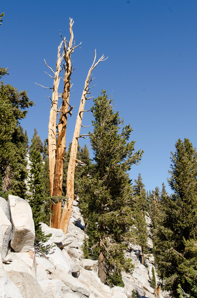 Photo: danhurt, CC BY-SA 2.0 (via Flickr)
Cottonwood Pass Trail
~6 min drive
9.46-mile out-and-back hike in California with 2,248 ft elevation gain and loss.
 Photo: danhurt, CC BY-SA 2.0 (via Flickr)
Siberian Pass Trail
~12 min drive
7.24-mile out-and-back trail in California with 1,528 ft elevation gain and loss.
Photo: danhurt, CC BY-SA 2.0 (via Flickr)Dutch Meadow Spur
~2 min drive
3.62-mile out-and-back trail in California with 424 ft elevation gain.


