Crabtree Camp
Campground
Campground · 2.6 mi from the trail
 Photo: travisreitter, CC BY-SA 2.0 (via Flickr)
Closure in the area
There's a closure order in Stanislaus National Forest. It doesn't name Lake Valley Trail, so check the source for the area it covers (2 listed).
Stanislaus National Forest extends seasonal MVUM closure for two high elevation roads
Agency closure covering Stanislaus National Forest · USFS · Stanislaus National Forest
Extension of Seasonal Road Closures
Agency closure covering Stanislaus National Forest · USFS · Stanislaus National Forest
As of · Source: USFS · Stanislaus National Forest. Agencies don't list every closure — check before you go.
Lake Valley Trail is a 6.2-mile out-and-back hike in the Emigrant Wilderness, part of the Summit Ranger District of Stanislaus National Forest in California. The Forest Service manages the land. The route climbs from 8,779 feet to 8,962 feet, with the most gain concentrated near the start, and the total climb is 2,128 feet over the course of the round trip. Because the trail rises to just under 9,000 feet, it is a moderate route that pairs well with a longer stay in the area. The trip takes about three hours to complete. The most dramatic part of the climb comes early, around the 0.6-mile mark, where the grade reaches about 28%. That makes the first leg the steepest stretch, so plan on the most effort at the outset. Several other destinations sit within a short drive. The Powell Lake Spur mountain biking route is about a mile away, and the Lake Valley hike is about 1.1 miles off. Climbers can head to Sonora Pass Highway (108), about 1.5 miles away. For an overnight, Herring Creek campground lies roughly 5.6 miles from the trail.
Crabtree Camp
Campground
Locals Cafe
Restaurant
Places © OpenStreetMap contributors
More in Bear Valley Powell Lake SpurMountain bikingPhoto: srsmedly, CC BY-SA 3.0 (via Wikimedia Commons)1 mi
 LAKE VALLEYHikingPhoto: btwashburn, CC BY 2.0 (via Flickr)1.1 mi
Source: Roamze catalog (indexable pages within 10 miles, PostGIS distance)
LAKE VALLEYHiking · ~2 min drivePhoto: btwashburn, CC BY 2.0 (via Flickr) Crab Tree Cut OffHiking · ~6 min drivePhoto: TyB, CC BY 2.0 (via Flickr)
 Pinecrest PeakHiking · ~11 min drivePhoto: MarkDoliner, CC BY-SA 2.0 (via Flickr)Lake ValleyHiking · ~4 min drivePhoto: TyB, CC BY 2.0 (via Flickr)
 Wire LakesHiking · ~8 min drivePhoto: Tom Hilton, CC BY 2.0 (via Flickr)
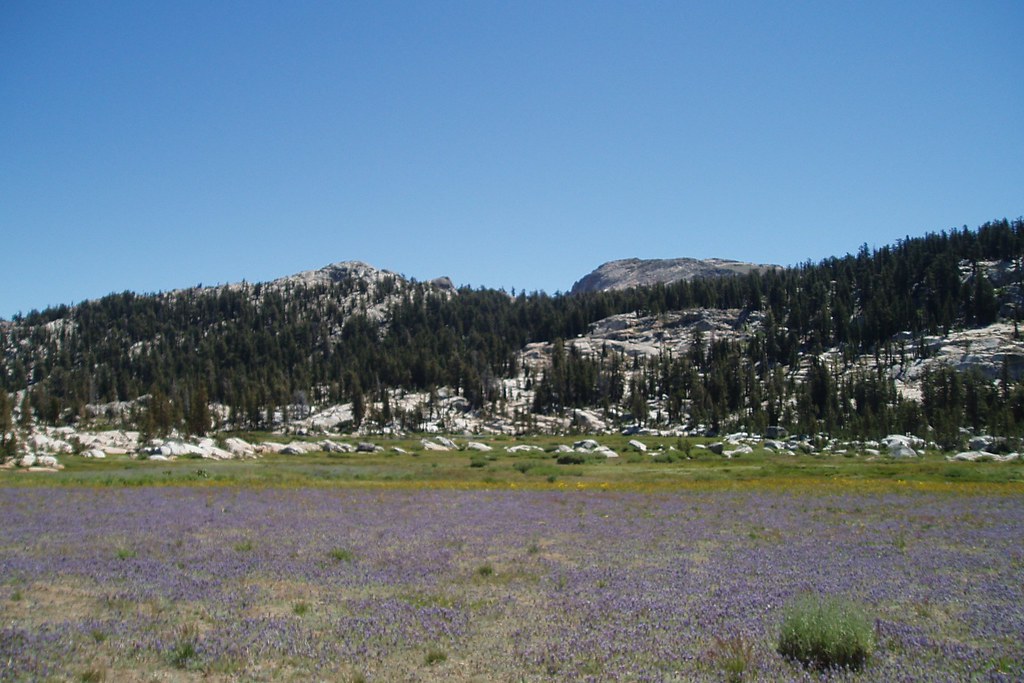 Whitesides MeadowHiking · ~8 min drivePhoto: Tom Hilton, CC BY 2.0 (via Flickr)Long Lake TrailHiking · ~9 min drivePhoto: Tom Hilton, CC BY 2.0 (via Flickr)
Map and trail data © OpenStreetMap contributors

