Crabtree Camp
Campground
Campground · < 0.1 mi from the trail
 Photo: TyB, CC BY 2.0 (via Flickr)
Caution today
Agency alerts are in effect for this area; weather is good · USFS, OpenWeather · checked 9 h ago
Closure in the area
There's a closure order in Stanislaus National Forest. It doesn't name Lake Valley, so check the source for the area it covers (2 listed).
Stanislaus National Forest extends seasonal MVUM closure for two high elevation roads
Agency closure covering Stanislaus National Forest · USFS · Stanislaus National Forest
Extension of Seasonal Road Closures
Agency closure covering Stanislaus National Forest · USFS · Stanislaus National Forest
As of · Source: USFS · Stanislaus National Forest. Agencies don't list every closure — check before you go.
Lake Valley is a moderate out-and-back hike in California's Stanislaus National Forest, within the Summit Ranger District. The trail is 3.8 miles long and rises from about 7,149 feet to 8,393 feet, a climb of roughly 1,250 feet. The Forest Service manages the land, and the trail is natural-surfaced and open year-round. Horses are allowed, so the route works for hikers and riders alike. The Crab Tree Cut Off mountain biking trail and the Pine Valley hike both sit about a mile away. Sonora Pass Highway (108) offers climbing roughly 1.7 miles off, and Pioneer Trail campground is about 4.5 miles away.
Crabtree Camp
Campground
Locals Cafe
Restaurant
 If it rainsJunkyardsparkle, CC0 · Wikimedia Commons
Places © OpenStreetMap contributors · Photos: Junkyardsparkle, CC0 (commons)
More in Bear Valley Photo: TyB, CC BY 2.0 (via Flickr)
Pine Valley
~2 min drive
1.78-mile out-and-back trail in California with 68 ft of elevation gain.
 Photo: btwashburn, CC BY 2.0 (via Flickr)
LAKE VALLEY
~3 min drive
5.66-mile out-and-back trail in California with 1,388 ft gain and loss.
 Photo: scorpio-tiger, CC BY-SA 2.0 (via Flickr)
04N12-SNOW TRAIL
~11 min drive
13.4-mile out-and-back trail in California with 2,796 ft elevation gain
HIKE
Bell Meadow
~4 min drive
Bell Meadow is a 33.12-mile out-and-back trail in California with 2,992 feet of elevation gain.
Photo: TyB, CC BY 2.0 (via Flickr)Crab Tree Cut Off
~2 min drive
1.37-mile out-and-back trail in California with 325 ft elevation gain.
 Photo: travisreitter, CC BY-SA 2.0 (via Flickr)
Lake Valley Trail
~4 min drive
6.2-mile out-and-back hike in California with 2,128 ft elevation gain and loss.
 Photo: MarkDoliner, CC BY-SA 2.0 (via Flickr)
Pinecrest Peak
~8 min drive
8.88-mile out-and-back trail to Pinecrest Peak in California with 2,756 ft gain.
HIKE
Crabtree Trail
~8 min drive
25.38-mile out-and-back trail in California with 4,258 ft elevation gain.
 Photo: MarkDoliner, CC BY-SA 2.0 (via Flickr)
Cleos Bath
~7 min drive
1.52-mile out-and-back trail in California with 157 ft gain.
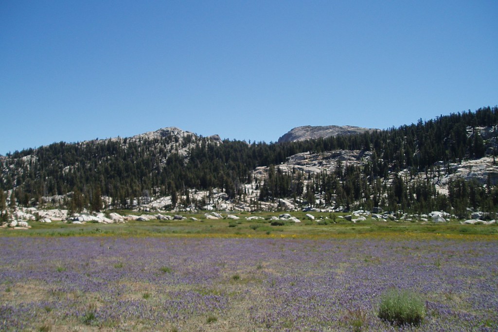 Photo: Tom Hilton, CC BY 2.0 (via Flickr)
Whitesides Meadow
~13 min drive
Whitesides Meadow is a 3.24-mile out-and-back trail in California with 451 feet of elevation gain.


