Crabtree Camp
Campground
Campground · 1.5 mi from the trail
 Photo: btwashburn, CC BY 2.0 (via Flickr)
Closure in the area
There's a closure order in Stanislaus National Forest. It doesn't name LAKE VALLEY, so check the source for the area it covers (2 listed).
Stanislaus National Forest extends seasonal MVUM closure for two high elevation roads
Agency closure covering Stanislaus National Forest · USFS · Stanislaus National Forest
Extension of Seasonal Road Closures
Agency closure covering Stanislaus National Forest · USFS · Stanislaus National Forest
As of · Source: USFS · Stanislaus National Forest. Agencies don't list every closure — check before you go.
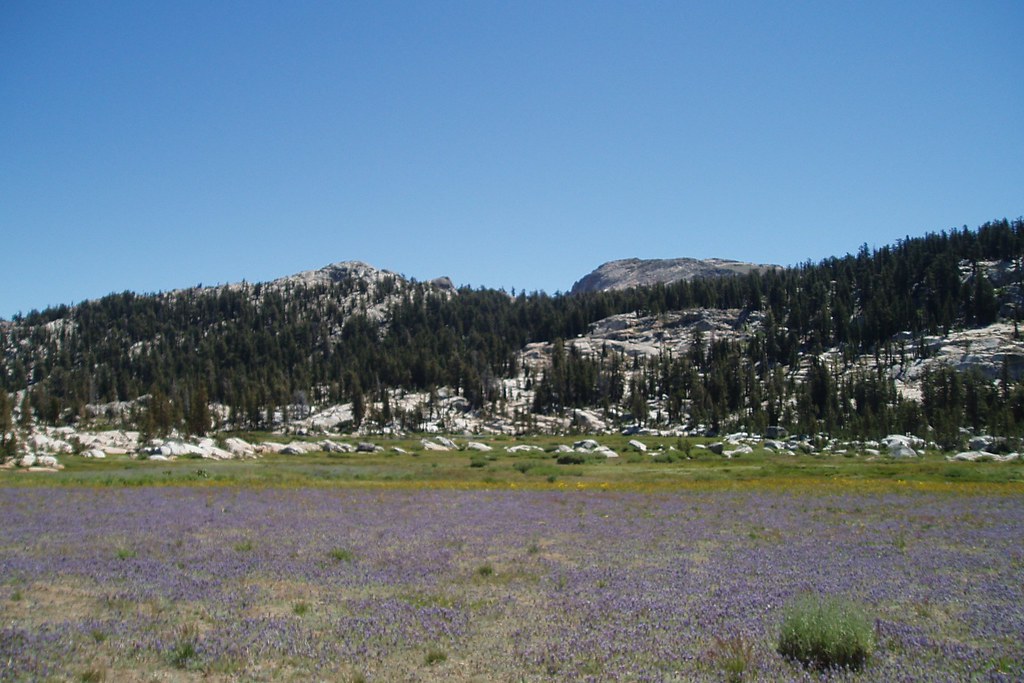
Lake Valley is a moderate out-and-back hike in California's Stanislaus National Forest, within the Summit Ranger District. The trail is about 5.7 miles long, with a total elevation gain of 1,388 feet, and it starts and ends at roughly 8,412 feet. The high point on the route reaches about 8,962 feet, and the steepest stretch comes early, around 0.6 miles in, with a grade of about 28 percent. The Forest Service manages the land, and the hike is a rolling climb rather than a series of steep pitches. Plan for about 2.5 hours on the trail. Several other destinations sit within a short drive. The Sonora Pass Highway (108) climbing area and Burst Rock are both about a mile away, and Bear Lake offers mountain biking at a similar distance. For an overnight stay, Herring Creek campground is about 5 miles off.
Crabtree Camp
Campground
Locals Cafe
Restaurant
Places © OpenStreetMap contributors
More in Bear Valley Lake Valley TrailHikingPhoto: travisreitter, CC BY-SA 2.0 (via Flickr)1.1 mi
Source: Roamze catalog (indexable pages within 10 miles, PostGIS distance)
Lake Valley TrailHiking · ~2 min drivePhoto: travisreitter, CC BY-SA 2.0 (via Flickr) Crab Tree Cut OffHiking · ~4 min drivePhoto: TyB, CC BY 2.0 (via Flickr)
 04N12-SNOW TRAILHiking · ~13 min drivePhoto: scorpio-tiger, CC BY-SA 2.0 (via Flickr)Lake ValleyHiking · ~3 min drivePhoto: TyB, CC BY 2.0 (via Flickr)
 Cleos BathHiking · ~9 min drivePhoto: MarkDoliner, CC BY-SA 2.0 (via Flickr)
 Pinecrest PeakHiking · ~10 min drivePhoto: MarkDoliner, CC BY-SA 2.0 (via Flickr)
 Whitesides MeadowHiking · ~10 min drivePhoto: Tom Hilton, CC BY 2.0 (via Flickr)
 Pinecrest to StrawberryHiking · ~10 min drivePhoto: Doug Letterman, CC BY 2.0 (via Flickr)

