Edison Ferry Pickup
Campground
Campground · 5.9 mi from the trail
 Photo: Chris M Morris, CC BY 2.0 (via Wikimedia Commons)
Closure in the area
There's a closure order in Sierra National Forest. It doesn't name Lake Italy, so check the source for the area it covers (3 listed).
Safety Tips for Burned Areas: Garnet Fire Area
Agency closure covering Sierra National Forest · USFS · Sierra National Forest
Wilderness Food and Refuse Storage
Agency closure covering Sierra National Forest · Order 05-15-00-26-03 · USFS · Sierra National Forest
Food and Refuse Storage
Agency closure covering Sierra National Forest · Order 05-15-00-26-02 · USFS · Sierra National Forest
Forest Order removes Fish Camp, Soda Springs, and Little Jackass from closure list
Agency alert covering Sierra National Forest · Order 05-15-00-26-11 · USFS · Sierra National Forest
Ansel Adams and John Muir Wilderness Campfire Restrictions
Agency alert covering Sierra National Forest · Order 05-15-00-26-09 · USFS · Sierra National Forest
As of · Source: USFS · Sierra National Forest. Agencies don't list every closure — check before you go.
Lake Italy is a hard hike in California's John Muir Wilderness, within the High Sierra Ranger District of Sierra National Forest. The trail is an out-and-back that climbs from about 9,685 feet to about 12,361 feet, with a total elevation gain of 2,651 feet over a distance of about 10.7 miles. The Forest Service manages the land, and the route is natural-surfaced and open year-round. The trail is not accessible, and bikes are not allowed. Horses are permitted, so it works for riders as well as hikers. The Seven Gables Trail and the Seven Gables hike both lie within about 2 miles. Bear Creek and Mono Creek, canoeing spots, are a little farther out.
Edison Ferry Pickup
Campground
Iva Bell Hot Springs
Hot spring
Places © OpenStreetMap contributors
More in Mammoth LakesNot on Roamze yet. Their page has how to reach them.
Photo: Chris M Morris, CC BY 2.0 (via Wikimedia Commons)LAKE ITALY
~2 min drive
2.34-mile out-and-back trail to Lake Italy in California with 475 ft gain.
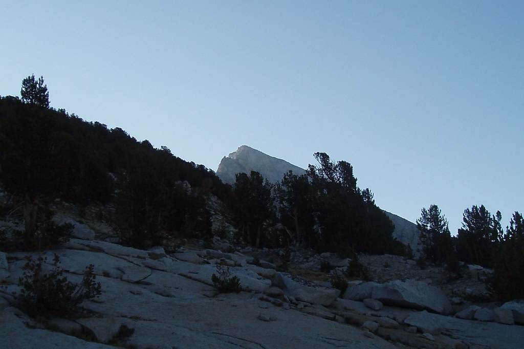 Photo: Tom Hilton, CC BY 2.0 (via Flickr)
Volcanic Knob
~5 min drive
2.88-mile out-and-back trail in California with 668 ft elevation gain.
 Photo: GSEC, CC BY 2.0 (via Flickr)
Bear Creek Cutoff
~10 min drive
5.96-mile loop trail in California with 1,637 ft elevation gain
 Photo: feverblue, CC BY-SA 2.0 (via Flickr)
MONO CREEK
~12 min drive
9.34-mile out-and-back trail in California with 3,527 ft elevation gain/loss.
Photo: Chris M Morris, CC BY 2.0 (via Wikimedia Commons)Seven Gables Trail
~3 min drive
3.1-mile out-and-back hike in California with 922 ft elevation gain and loss.
 Photo: GSEC, CC BY 2.0 (via Flickr)
Cirque Lake
~10 min drive
12.98-mile out-and-back trail to Cirque Lake in California with 3,524 ft gain.
HIKE
Second Recess
~9 min drive
3.12-mile out-and-back trail in California with 665 ft gain.
HIKE
Mono Creek Trail
~10 min drive
23.92-mile out-and-back trail in California with 4,745 ft elevation gain and loss.
 Photo: shutterfish, CC BY-SA 2.0 (via Flickr)
Seven Gables
~4 min drive
2.14-mile out-and-back trail in California with 672 ft elevation gain.
Photo: GSEC, CC BY 2.0 (via Flickr)BEAR CREEK
~11 min drive
12.2-mile out-and-back trail in California with 3,227 ft elevation gain and loss.


