Lady Gulch Trail
- 2.5 mi
- round trip
- 2,941 ft
- climb
- 6,199 ft
- high point
- Out and back
- route
Caution at last check
Agency alerts are in effect for this area; weather is marginal · USFS, OpenWeather · checked 19 h ago
Is Lady Gulch Trail open right now?
Closure in the area
There's a closure order in Shasta-Trinity National Forest. It doesn't name Lady Gulch Trail, so check the source for the area it covers (2 listed).
Mud and Ash Creek Area and Road Closure
Agency closure covering Shasta-Trinity National Forest · Order 14-26-13 · USFS · Shasta-Trinity National Forest
Road Closure on Wild Mad Road
Agency closure covering Shasta-Trinity National Forest · Order 14-25-09 · USFS · Shasta-Trinity National Forest
Trout Creek Bridge Closure Order
Agency alert covering Shasta-Trinity National Forest · Order 14-26-02 · USFS · Shasta-Trinity National Forest
South Fork Suspension Bridge Closure
Agency alert covering Shasta-Trinity National Forest · Order 14-25-30 · USFS · Shasta-Trinity National Forest
Ah-Di-Na Area Closure
Agency alert covering Shasta-Trinity National Forest · Order 14-25-10 · USFS · Shasta-Trinity National Forest
As of · Source: USFS · Shasta-Trinity National Forest. Agencies don't list every closure — check before you go.
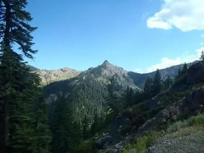
Lady Gulch Trail is a hard out-and-back hike in the Weaverville Ranger District of Shasta-Trinity National Forest in northern California. The route is about 5 miles long, with a total elevation gain of 2,941 feet, and it starts and ends at roughly 4,614 feet. The climb is front-loaded, with the steepest stretch at about 0.34 miles in, where the grade reaches 33 percent. The high point is 6,199 feet. The trail is a serious climb, and the round trip covers about 2,941 feet of ascent and descent. Plan on about 3 hours for the hike. The nearest town is Weaverville, and the trail sits within the forest's ranger district. Several other destinations lie close by. South Fork Coffee Creek is just 0.2 miles away, and Adams Lake is 0.7 miles off. Packers Peak is about 1.9 miles away, and Big Flat Campground is about 4 miles away.
- SOUTH FORK COFFEE CREEKHiking0.2 mi
- Adams LakeHiking0.7 mi
- Packers PeakHiking1.9 mi
- Coffee CreekCanoeing4 mi
- Big Flat CampgroundCamping4 mi
 Carter Meadows Horse GroupCampingPhoto: Recreation.gov (RIDB) / public domain6.7 mi
- Taylor CreekCanoeing6.9 mi
- Trinity AlpsRock climbing8.8 mi
Source: Roamze catalog (indexable pages within 10 miles, PostGIS distance)
- SOUTH FORK COFFEE CREEKHiking · Next door
- Adams LakeHiking · ~1 min drive
- Rush Creek TrailHiking · ~5 min drive
- Deadman PeakHiking · ~7 min drive
- Chipmunk MeadowHiking · ~4 min drive
- Milk Ranch TrailHiking · ~5 min drive
- North Fork Coffee Creek TrailHiking · ~7 min drive
- Fish Lake CreekHiking · ~8 min drive
- Union CreekHiking · ~4 min drive
- Taylor Creek TrailHiking · ~6 min drive

Map and trail data © OpenStreetMap contributors
