Elam Camp
Campground
Campground · 3.1 mi from the trail
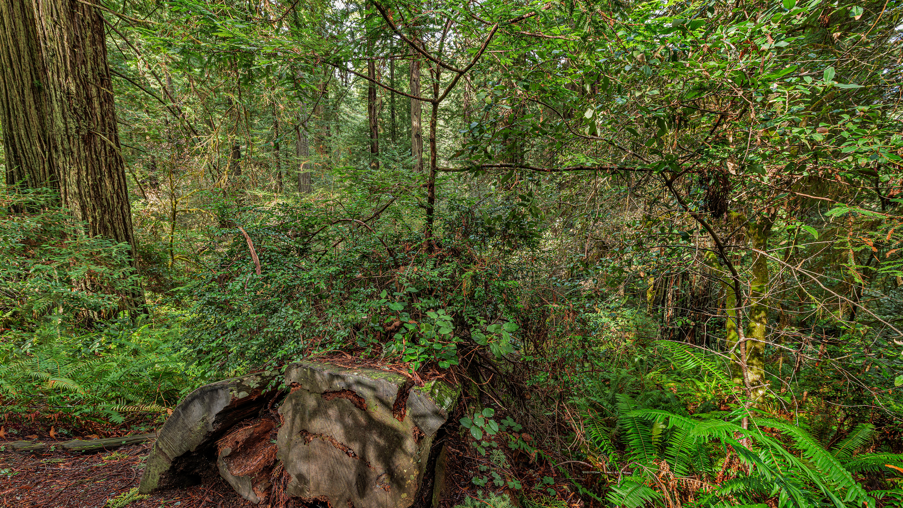 Photo: Dave Van de Mark
Alert in the area
The National Park Service lists an alert for Redwood National Park.
Delays along Highway 101
Park alert covering Redwood National Park · NPS · Redwood National Park
As of · Source: NPS · Redwood National Park. Agencies don't list every closure — check before you go.
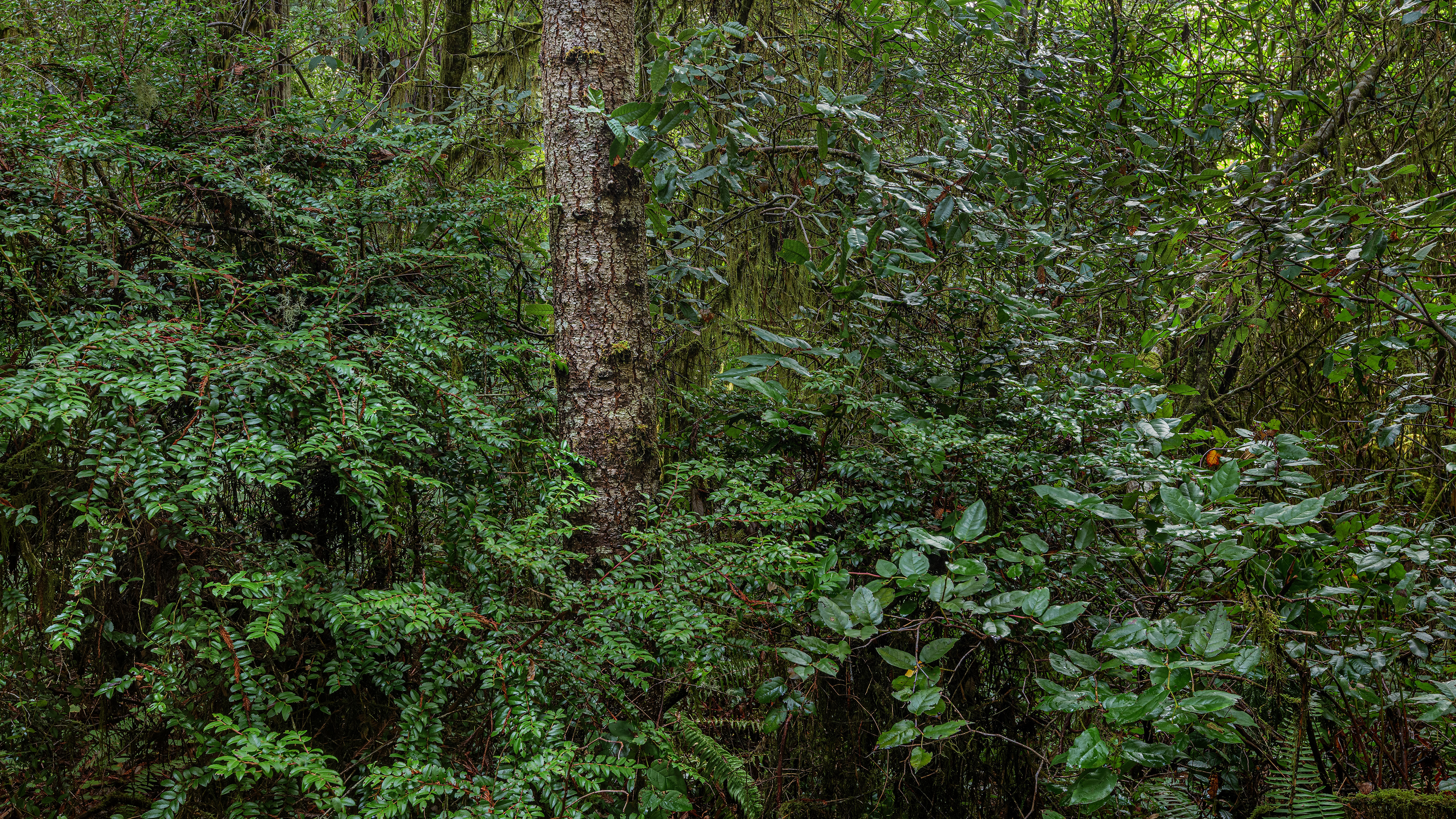
Lady Bird Johnson Nature Trail Stop #12 is a short, easy stop on the Lady Bird Johnson Nature Trail in Redwood National Park, managed by the National Park Service. It sits about half a mile from the trail's start, and the out-and-back route covers roughly a mile with a climb of about 60 feet. The trail stop is a place of forest rebirth. A fallen redwood, now decaying, has become a cradle for new life. Salal, huckleberry, rhododendron, spruce and hemlock grow from the log, and a new redwood reaches up through the shadow. Fractures in the wood hold soil and water, creating beds for seeds to germinate. Roots from the new plants break up the log as it slowly decays into the ground, feeding the soil and continuing the cycle of life and death in the forest. Summer is the most comfortable time to visit. Typical averages from a nearby weather station show July and August highs around 67 to 69°F with lows near 49°F. That station sits well below the trail, so temperatures on the trail run cooler. Lady Bird Johnson Nature Trail Stop #5 and Stop #4 are each about 0.1 mile away, and Stop #13 is a similar distance. Prairie Creek, a canoeing spot, is about 3.3 miles off.
Elam Camp
Campground
EdeBee's Snack Shack
Burger restaurant
Places © OpenStreetMap contributors, Places © Overture Maps Foundation
More in Hoopa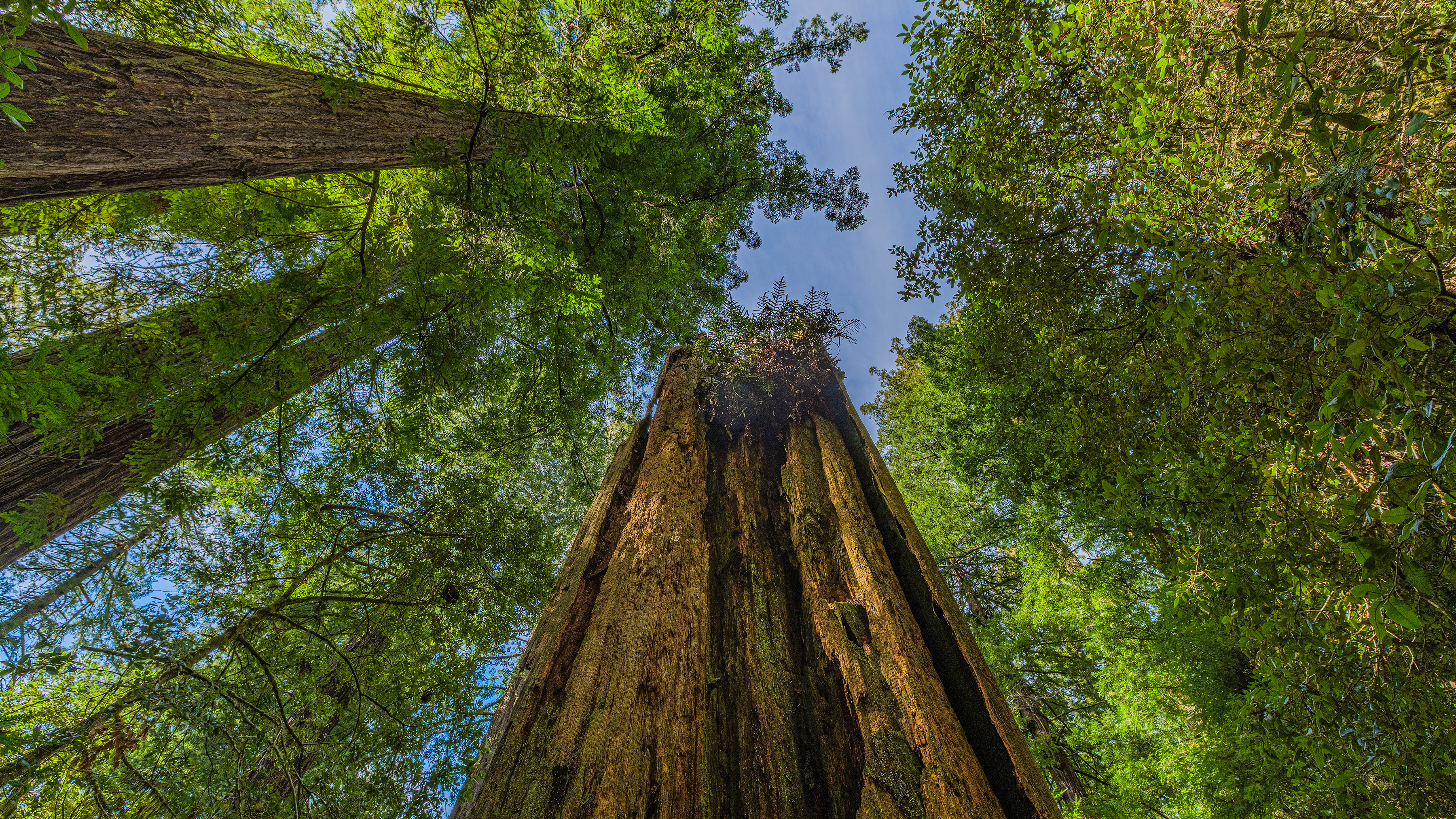 Lady Bird Johnson Nature Trail Stop #5HikingPhoto: Dave Van de Mark0.1 mi
 Lady Bird Johnson Nature Trail Stop #4HikingPhoto: Dave Van de Mark0.1 mi
 Lady Bird Johnson Nature Trail Stop #13HikingPhoto: Dave Van de Mark0.1 mi
 Prairie CreekCanoeingPhoto: Thewellman, CC0 (via Wikimedia Commons)3.3 mi
 Cormorant Rock and Awkward TurtleRock climbingPhoto: lamblukas, CC BY 2.0 (via Flickr)7.7 mi
Source: Roamze catalog (indexable pages within 10 miles, PostGIS distance)
 Berry Glen TrailHiking · ~2 min drivePhoto: Aleksandr Zykov, CC BY-SA 2.0 (via Flickr)Davidson TrailHiking · ~3 min drivePhoto: Aleksandr Zykov, CC BY-SA 2.0 (via Flickr)
 Ridge LoopHiking · ~2 min drivePhoto: Wsiegmund, CC BY 2.5 (via Wikimedia Commons)
Also worth it near here
Best months: March–November. Best months have typical highs of 55–85 °F, lows of 30 °F or warmer (32 °F where the station doesn't record snow), at most one snowy day and no more than 12 wet days.
Jan
52° / 36°
Feb
54° / 37°
Mar
56° / 37°
Apr
58° / 39°
May
61° / 43°
Jun
64° / 46°
Jul
67° / 49°
Aug
69° / 49°
Sep
69° / 45°
Oct
65° / 42°
Nov
56° / 39°
Dec
51° / 36°
Typical high / low (°F) and days with rain or snow, 1991–2020. Measured at Orick Prairie Creek Park, CA, 3.7 mi away at 160 ft. The station sits about 1,200 ft lower than this place, so expect it a little cooler here. This station doesn't record snowfall. Source: NOAA NCEI U.S. Climate Normals 1991–2020.
