Hike and Bike Campsites
Campground
Campground · 2.4 mi from the trail
 Photo: Aleksandr Zykov, CC BY-SA 2.0 (via Flickr)
Caution at last check
Weather is marginal · OpenWeather · checked 16 h ago
Alert in the area
The National Park Service lists an alert for Redwood National Park.
Delays along Highway 101
Park alert covering Redwood National Park · NPS · Redwood National Park
As of · Source: NPS · Redwood National Park. Agencies don't list every closure — check before you go.
Davidson Trail is a 2-mile moderate hike in Redwood National Park in California, managed by the National Park Service. The trail is an out-and-back route that climbs about 1,100 feet one way, with a total round-trip gain of about 2,200 feet. The high point reaches about 248 feet, and the steepest stretch comes within the first 0.08 miles, with a grade of about 12 percent. The most comfortable months for a visit are late summer into early fall. Typical averages from a nearby weather station at Orick Prairie Creek Park show highs around 69°F in August and September, with lows near 49°F. Winter is much cooler, with highs in the low 50s and lows in the mid-30s. The trail starts close to several other spots. Davison Trail: South Access, Elk Meadow Day Use Area and Trillium Falls Trail are all about 0.1 mile away. For paddling, Prairie Creek is about 2.2 miles off.
Hike and Bike Campsites
Campground
EdeBee's Snack Shack
Burger restaurant
Patrick's Point Visitor Center
Museum
Places © OpenStreetMap contributors, Places © Overture Maps Foundation
More in Hoopa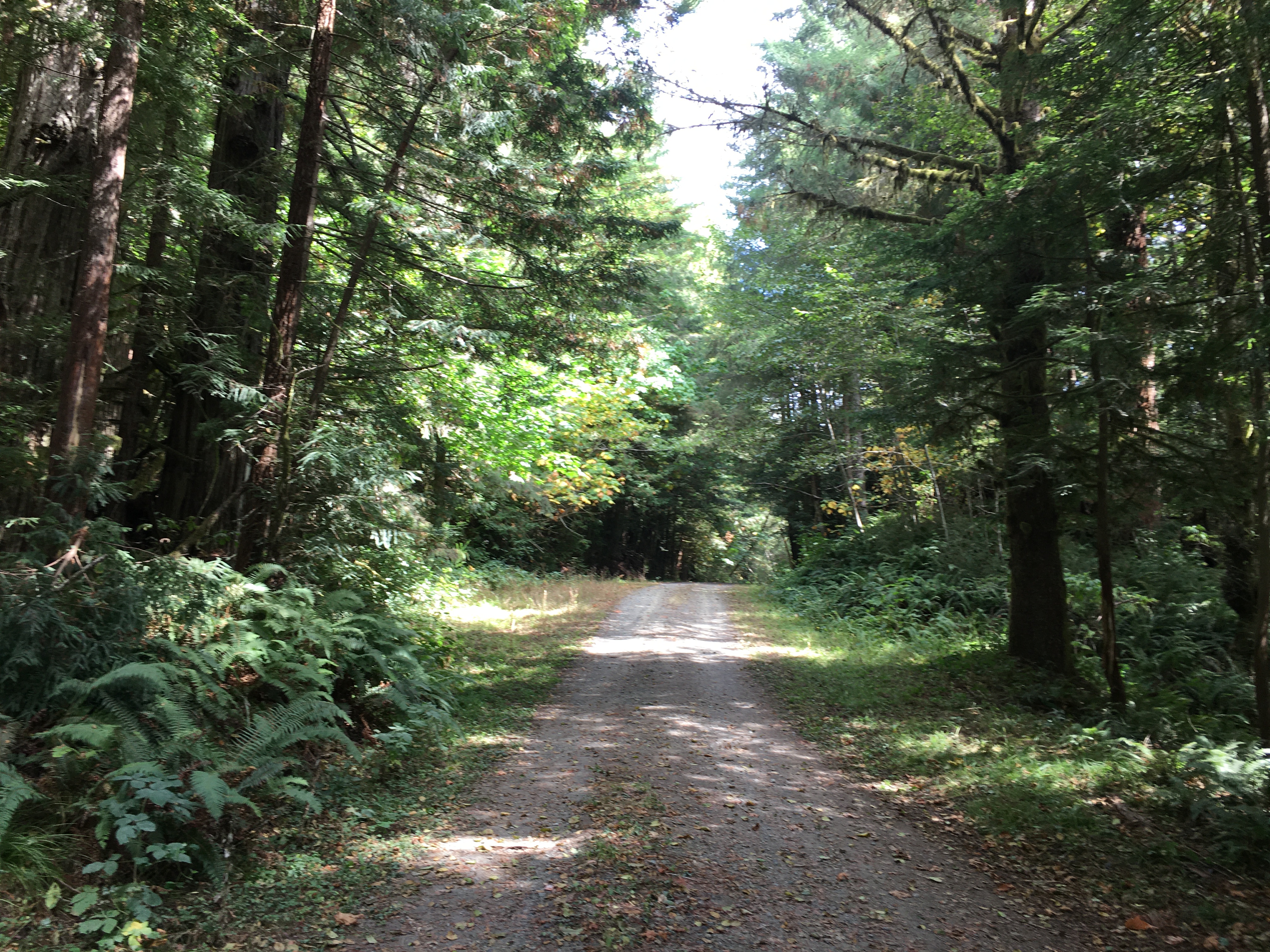 Davison Trail: South AccessHikingPhoto: NPS Photo / G Litten0.1 mi
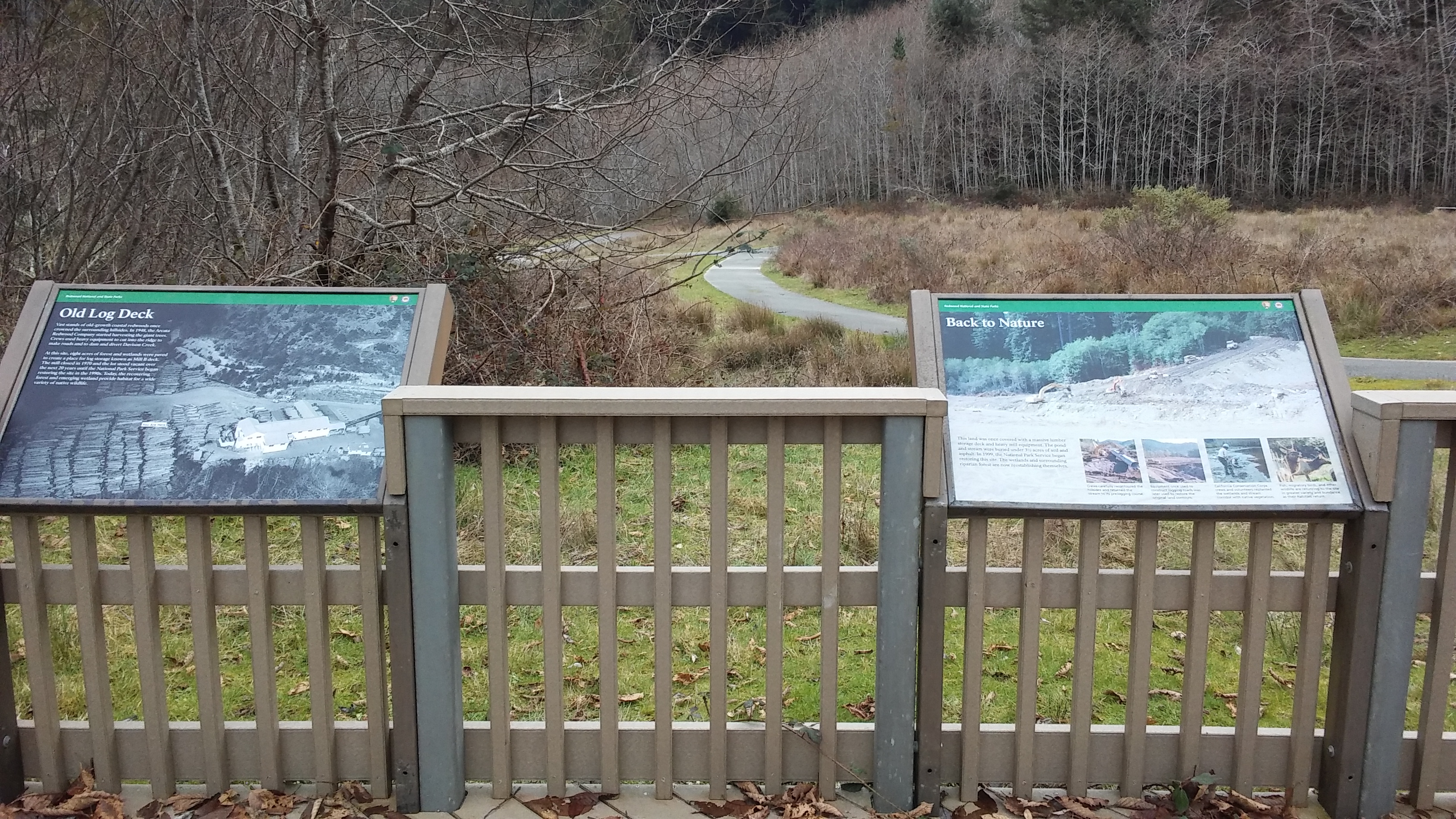 Elk Meadow Day Use AreaHikingPhoto: NPS Photo / G Litten0.1 mi
 Trillium Falls TrailHikingPhoto: Photo / John Chao0.1 mi
 Prairie CreekCanoeingPhoto: Thewellman, CC0 (via Wikimedia Commons)2.2 mi
 Cormorant Rock and Awkward TurtleRock climbingPhoto: lamblukas, CC BY 2.0 (via Flickr)8.1 mi
Source: Roamze catalog (indexable pages within 10 miles, PostGIS distance)
 Ridge LoopHiking · ~3 min drivePhoto: Wsiegmund, CC BY 2.5 (via Wikimedia Commons)
 Cathedral Trees TrailHiking · ~6 min drivePhoto: Scottb211, CC BY 2.0 (via Flickr)Berry Glen TrailHiking · ~1 min drivePhoto: Aleksandr Zykov, CC BY-SA 2.0 (via Flickr)
Also worth it near here
Prairie CreekCanoeing · ~4 min drivePhoto: Thewellman, CC0 (via Wikimedia Commons) Elk Prairie CampgroundCamping · ~4 min drivePhoto: Redwood National and State Parks — Public Domain Mark 1.0 (via Flickr)Cormorant Rock and Awkward TurtleRock climbing · ~14 min drivePhoto: lamblukas, CC BY 2.0 (via Flickr)
Best months: March–November. Best months have typical highs of 55–85 °F, lows of 30 °F or warmer (32 °F where the station doesn't record snow), at most one snowy day and no more than 12 wet days.
Jan
52° / 36°
Feb
54° / 37°
Mar
56° / 37°
Apr
58° / 39°
May
61° / 43°
Jun
64° / 46°
Jul
67° / 49°
Aug
69° / 49°
Sep
69° / 45°
Oct
65° / 42°
Nov
56° / 39°
Dec
51° / 36°
Typical high / low (°F) and days with rain or snow, 1991–2020. Measured at Orick Prairie Creek Park, CA, 2.9 mi away at 160 ft. This station doesn't record snowfall. Source: NOAA NCEI U.S. Climate Normals 1991–2020.
Map and trail data © OpenStreetMap contributors
