Kibbie Lake Trail
- 2.9 mi
- round trip
- 1,058 ft
- climb
- 6,555 ft
- high point
- Out and back
- route
- May–Oct
- best months
Caution at last check
Agency alerts are in effect for this area; weather is good · USFS, OpenWeather · checked 13 h ago
Is Kibbie Lake Trail open right now?
Closure in the area
There's a closure order in Stanislaus National Forest. It doesn't name Kibbie Lake Trail, so check the source for the area it covers (2 listed).
Stanislaus National Forest extends seasonal MVUM closure for two high elevation roads
Agency closure covering Stanislaus National Forest · USFS · Stanislaus National Forest
Extension of Seasonal Road Closures
Agency closure covering Stanislaus National Forest · USFS · Stanislaus National Forest
As of · Source: USFS · Stanislaus National Forest. Agencies don't list every closure — check before you go.
Kibbie Lake Trail is a 2.9-mile moderate hike in California's Stanislaus National Forest, within the Groveland Ranger District. It is an out-and-back route that reaches a high point of 6,555 feet, with a steady climb of about 530 feet one way and a total round-trip gain of 1,058 feet. The route starts at roughly 6,543 feet and the steepest stretch comes around the half-mile mark, with a grade of about 12 percent. Summer is the most comfortable time to go. Typical averages from a nearby weather station run to highs around 75°F in July and August, with only one or two wet days a month. That station sits at a similar elevation to the trail, so temperatures here should run close to those figures. The trail makes an easy pairing with other outings in the area. Cherry Creek, a canoeing spot, is 1.7 miles away, and Cherry Valley campground is 3.3 miles off. Within about 4 miles you'll also find Huckleberry Trail and Kibbie Ridge Trail.
- Cherry CreekCanoeing1.7 mi
- Huckleberry TrailHiking3 mi
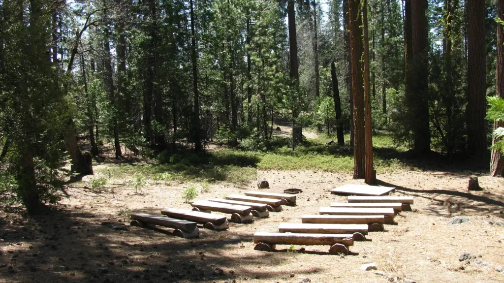 Cherry ValleyCampingPhoto: Recreation.gov (RIDB) / public domain3.3 mi
 Eleanor Creek Gaging Station TrailHikingPhoto: Jonathan Dinh, CC BY 2.0 (via Flickr)3.7 mi
- Cherry LakeLake fishing3.8 mi
- Kibbie Ridge TrailHiking4.2 mi
- Hetch HetchyRock climbing7.8 mi
- Clavey RiverCanoeing8.1 mi
Source: Roamze catalog (indexable pages within 10 miles, PostGIS distance)
- Kibbie Lake TrailHiking · ~4 min drivePhoto: Jonathan Dinh, CC BY 2.0 (via Flickr)
- Eleanor Creek Gaging Station TrailHiking · ~6 min drivePhoto: Jonathan Dinh, CC BY 2.0 (via Flickr)
- Poopenaut Valley TrailHiking · ~15 min drive
- Crabtree TrailHiking · ~17 min drive
- North Mountain Lookout TrailHiking · ~8 min drive
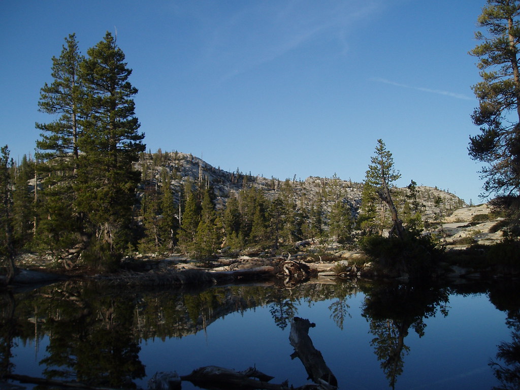 Boundary Lake SpurHiking · ~11 min drivePhoto: Tom Hilton, CC BY 2.0 (via Flickr)
 Lake ValleyHiking · ~18 min drivePhoto: TyB, CC BY 2.0 (via Flickr)
- Bell MeadowHiking · ~16 min drive
- Box SpringHiking · ~13 min drive
 Spur from 19E58Hiking · ~16 min drivePhoto: RuggyBearLA, CC BY 2.0 (via Flickr)
Best time to visit Kibbie Lake Trail
Best months: May–October. Best months have typical highs of 55–85 °F, lows of 30 °F or warmer (32 °F where the station doesn't record snow), at most one snowy day and no more than 12 wet days.
Jan
44° / 32°
10 wet
Feb
42° / 31°
9 wet
Mar
45° / 32°
10 wet
Apr
49° / 36°
8 wet
May
58° / 43°
7 wet
Jun
67° / 52°
3 wet
Jul
75° / 60°
1 wet
Aug
75° / 59°
1 wet
Sep
70° / 54°
2 wet
Oct
60° / 46°
4 wet
Nov
49° / 37°
7 wet
Dec
43° / 32°
9 wet
Typical high / low (°F) and days with rain or snow, 1991–2020. Measured at Yosemite Village 12 W, CA, 18.5 mi away at 6,620 ft. This station doesn't record snowfall. Source: NOAA NCEI U.S. Climate Normals 1991–2020.

Map and trail data © OpenStreetMap contributors
