Irene’s Camp
Campground
Campground · 10 mi from the trail
Closure in the area
There's a closure order in Sequoia National Forest. It doesn't name Kern Flat Trail, so check the source for the area it covers (2 listed).
Tule River Glass Container Prohibition Area
Agency closure covering Sequoia National Forest · Order 0513-26-02 · USFS · Sequoia National Forest
Trail of 100 Giants Boardwalk and Area Closure
Agency closure covering Sequoia National Forest · Order 0513-26-03 · USFS · Sequoia National Forest
PUBLIC NUDITY PROHIBITION - Sequoia National Forest
Agency alert covering Sequoia National Forest · Order 0513-26-06 · USFS · Sequoia National Forest
Chico Flat Dispersed Camping Area Prohibition 26-27
Agency alert covering Sequoia National Forest · Order 0513-26-09 · USFS · Sequoia National Forest
Wildlife Alert - BEARS
Agency alert covering Sequoia National Forest · USFS · Sequoia National Forest
As of · Source: USFS · Sequoia National Forest. Agencies don't list every closure — check before you go.
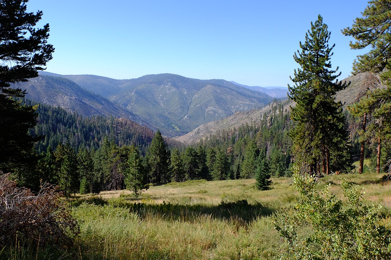
Kern Flat Trail is a short, easy hike of about 2.6 miles, roughly 1.3 miles to the high point of 5,255 feet, in the Golden Trout Wilderness of Sequoia National Forest's Kern River Ranger District. The Forest Service manages the land, and the route is an out-and-back that starts and ends at a low point of about 5,107 feet. The climb is gentle, with a total gain of about 411 feet, and the steepest section comes at about 0.4 miles. The trail reaches its high point of 5,255 feet before returning. It works well as a quick outing, and the trip is estimated to take about an hour. Spring and fall are the most comfortable times to go. At Haiwee, a nearby weather station, typical May averages run to highs near 78°F and lows near 47°F, while October averages about 74°F and 43°F. That station sits well below the trail, so temperatures on the trail run cooler. July is typically the hottest month, with highs around 94°F. Nearby options include Lion Meadows Trail, about 0.9 miles away, and Painters Camp, about 1.2 miles off. Climbers can head to Hermit Spires, about 9 miles away, and paddlers can try the Little Kern River, about 8 miles out.
Irene’s Camp
Campground
Slate Mountain Saloon
Bar and grill restaurant
Kern Hot Spring
Hot spring
Places © OpenStreetMap contributors, Places © Overture Maps Foundation
More in Silver CityNot on Roamze yet. Their page has how to reach them.
Source: Roamze catalog (indexable pages within 10 miles, PostGIS distance)
 Fish CreekHiking · ~12 min drivePhoto: Moo.The.Cow, CC BY 2.0 (via Flickr)
Also worth it near here
 Jordan Hot SpringsHot spring · ~6 min drivePhoto: David Bakken, CC BY-SA 2.0 (via Wikimedia Commons)
 River Springs Cutoff #1Mountain biking · ~11 min drivePhoto: David Bakken, CC BY-SA 2.0 (via Wikimedia Commons)
 Kern PeakSummit · ~14 min drivePhoto: David Bakken, CC BY-SA 2.0 (via Wikimedia Commons)
Best months: March–May and October–November. Best months have typical highs of 55–85 °F, lows of 30 °F or warmer (32 °F where the station doesn't record snow), at most one snowy day and no more than 12 wet days.
Jan
51° / 27°
4 wet
Feb
55° / 29°
4 wet
Mar
62° / 34°
3 wet
Apr
69° / 39°
2 wet
May
78° / 47°
2 wet
Jun
89° / 56°
1 wet
Jul
94° / 62°
1 wet
Aug
93° / 61°
1 wet
Sep
86° / 54°
1 wet
Oct
74° / 43°
1 wet
Nov
60° / 33°
2 wet
Dec
50° / 26°
4 wet
Typical high / low (°F) and days with rain or snow, 1991–2020. Measured at Haiwee, CA, 23.1 mi away at 3,825 ft. The station sits about 1,400 ft lower than this place, so expect it a little cooler here. This station doesn't record snowfall. Source: NOAA NCEI U.S. Climate Normals 1991–2020.
Map and trail data © OpenStreetMap contributors
