Glacier Lodge Campground
Campground
Campground · 6.5 mi from the trail
No closures listed
The National Park Service lists no closures for Kings Canyon National Park.
As of · Source: NPS · Kings Canyon National Park. Agencies don't list every closure — check before you go.
The John Muir Trail is a 7.6-mile out-and-back route in California's Kings Canyon National Park, within the Sequoia-Kings Canyon Wilderness. The National Park Service manages the land, and the trail starts at the high point of 12,079 feet, with the low point at 10,593 feet. The climb is back-loaded, with the steepest stretch at 0.23 miles from the start, where the grade reaches 33 percent. The total elevation gain is 2,770 feet, and the round trip covers that much gain and loss. The route is rated expert, and the trip is estimated to take about four hours. The trail is a long, steep outing, and the high point is the starting point, so plan for a full day on foot. Nearby, Muro Blanco and Upper Basin are both about 4.2 miles away. The Palisades & Surrounding Peaks climbing area is about 4.5 miles off, and Big Pine Creek Campground is about 6.7 miles away.
Glacier Lodge Campground
Campground
Parchers Resort Cafe
Restaurant
Keough Hot Ditch
Hot spring
Places © OpenStreetMap contributors
More in BishopNot on Roamze yet. Their page has how to reach them.
 Owens RiverCanoeingPhoto: Eeekster at English Wikipedia, CC BY 3.0 (via Wikimedia Commons)7.6 mi
 Big Pine CreekCanoeingPhoto: Justin.Johnsen (talk · contribs) (Justin at Flickr), CC BY 2.0 (via Wikimedia Commons)9.9 mi
Source: Roamze catalog (indexable pages within 10 miles, PostGIS distance)
 South Fork Big Pine Creek TrailHiking · ~11 min drivePhoto: Justin.Johnsen (talk · contribs) (Justin at Flickr), CC BY 2.0 (via Wikimedia Commons)
 Glacier Lodge to 1St Falls AccHiking · ~11 min drivePhoto: Tom Hilton, CC BY 2.0 (via Flickr)
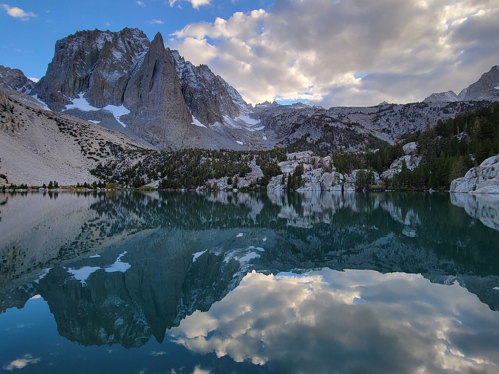 NORTH FORK BIG PINE CREEKHiking · ~11 min drivePhoto: Moo.The.Cow, CC BY 2.0 (via Flickr)Palisade Glacier TrailHiking · ~12 min drivePhoto: Moo.The.Cow, CC BY 2.0 (via Flickr)
 North Fork Big Pine Creek TrailHiking · ~12 min drivePhoto: Moo.The.Cow, CC BY 2.0 (via Flickr)
 WaterfallHiking · ~11 min drivePhoto: mjhbower, CC BY-SA 2.0 (via Flickr)
 Palisade CreekHiking · ~12 min drivePhoto: Matt Lavin, CC BY-SA 2.0 (via Flickr)
 Pinchot Pass NorthHiking · ~12 min drivePhoto: Matt Lavin, CC BY-SA 2.0 (via Flickr)Palisade Creek Alternate Crossing RouteHiking · ~11 min drivePhoto: Matt Lavin, CC BY-SA 2.0 (via Flickr)
Map and trail data © OpenStreetMap contributors

