Sage Flat Campground
Campground
Campground · 4.3 mi from the trail
Alert in the area
The Forest Service lists 3 alerts for Inyo National Forest.
Help Halt Golden Mussel Invasion
Agency alert covering Inyo National Forest · USFS · Inyo National Forest
Ansel Adams and John Muir Wilderness Campfire Restrictions
Agency alert covering Inyo National Forest · Order 05-04-50-25-04 · USFS · Inyo National Forest
Golden Trout and Hoover Wilderness Campfire Restrictions
Agency alert covering Inyo National Forest · Order 05-04-50-25-05 · USFS · Inyo National Forest
As of · Source: USFS · Inyo National Forest. Agencies don't list every closure — check before you go.
Birch Lake Trail is an expert-level out-and-back hike in California's Inyo National Forest, within the White Mountain Ranger District. The route starts at Birch Lake Trailhead and climbs to 10,952 feet, with a total elevation gain of 5,040 feet over a 10.8-mile round trip. The climb is front-loaded, with the steepest stretch at about 1.2 miles from the start, where the grade reaches 39%. The trail is managed by the Forest Service, and the trip is estimated to take about six hours. The route begins at the low point of 6,590 feet and ends at the same elevation on the return. Several other destinations sit close by. The 10S101 mountain bike route is just 0.1 mile away, and the Birch Lake hike is about 0.6 mile off. Paddlers can reach the Owens River at 0.9 mile, and Sage Flat Campground is about 4.3 miles away.
Sage Flat Campground
Campground
Country Kitchen
Restaurant
Keough Hot Ditch
Hot spring
Places © OpenStreetMap contributors
More in BishopNot on Roamze yet. Their page has how to reach them.
 Owens RiverCanoeingPhoto: Eeekster at English Wikipedia, CC BY 3.0 (via Wikimedia Commons)0.9 mi
 Big Pine CreekCanoeingPhoto: Justin.Johnsen (talk · contribs) (Justin at Flickr), CC BY 2.0 (via Wikimedia Commons)3.7 mi
Source: Roamze catalog (indexable pages within 10 miles, PostGIS distance)
 Logging Flat TrailHiking · ~9 min drivePhoto: Justin.Johnsen (talk · contribs) (Justin at Flickr), CC BY 2.0 (via Wikimedia Commons)
 Glacier Lodge to 1St Falls AccHiking · ~9 min drivePhoto: Tom Hilton, CC BY 2.0 (via Flickr)
 Baker Summit TrailHiking · ~10 min drivePhoto: Moo.The.Cow, CC BY 2.0 (via Flickr)
 North Fork Big Pine Creek TrailHiking · ~11 min drivePhoto: Moo.The.Cow, CC BY 2.0 (via Flickr)
 Black Lake LoopHiking · ~13 min drivePhoto: Moo.The.Cow, CC BY 2.0 (via Flickr)
 WaterfallHiking · ~9 min drivePhoto: mjhbower, CC BY-SA 2.0 (via Flickr)
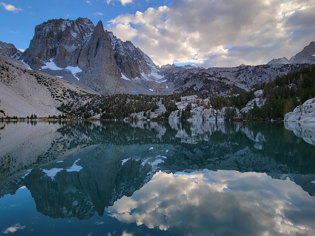 Palisade Glacier TrailHiking · ~15 min drivePhoto: Moo.The.Cow, CC BY 2.0 (via Flickr)South Fork Big Pine Creek TrailHiking · ~9 min drivePhoto: Justin.Johnsen (talk · contribs) (Justin at Flickr), CC BY 2.0 (via Wikimedia Commons)NORTH FORK BIG PINE CREEKHiking · ~14 min drivePhoto: Moo.The.Cow, CC BY 2.0 (via Flickr)Fourth Lake CutoffHiking · ~15 min drivePhoto: Moo.The.Cow, CC BY 2.0 (via Flickr)
Also worth it near here
Map and trail data © OpenStreetMap contributors

