Loading…

Free — you'll pick up right here.
Watch this trail
Sign up to watch it — saving subscribes you to gate, closure and report changes.
California
3.6 mi
Distance
642 ft
Gain
We won't guess. Here is exactly what we do and don't know.
What we do know
Inside Stanislaus National Forest
2 managing-area boundaries mapped — agency alerts for them feed this page automatically.
Boundary data
What's missing
No access route mapped
We don't yet know which road reaches this trailhead, so we can't tell you if it's gated.
Nobody's filed a report here yet — be the first.
Why you'll love it
Jenkins Hill
AI-suggested draft · review before you go
No permit or access details on file for this trail — check with the local land manager before you go.
Jenkins Hill offers a scenic 3.62-mile round trip with moderate elevation gain, making it an accessible option for hikers seeking a rewarding climb without excessive distance. The trail features steady elevation gain of 642 feet through California foothill terrain, providing good views and a sense of accomplishment. This is an ideal choice for hikers looking to build endurance or enjoy a half-day adventure.
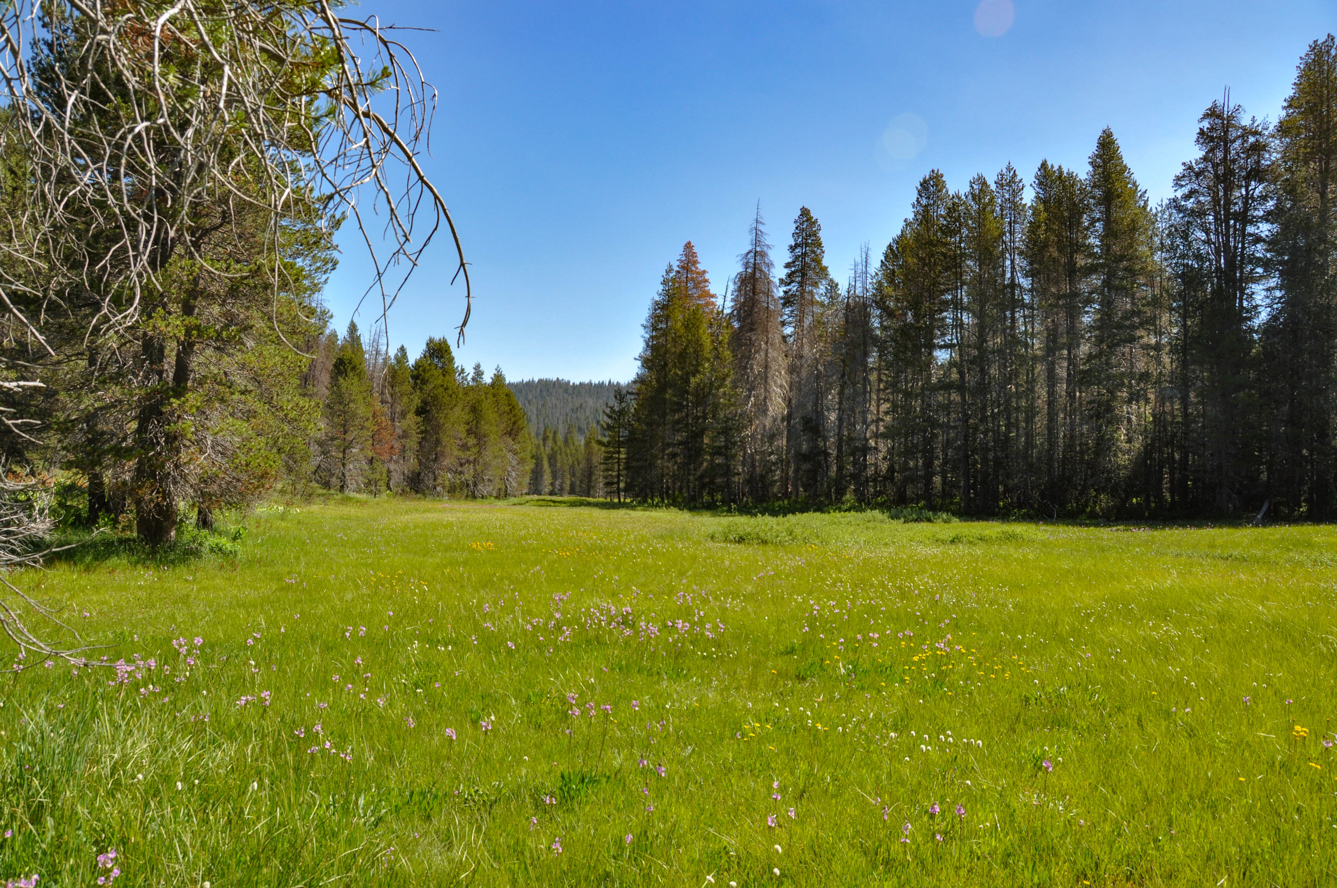
McGurk Meadow Trailhead
~30 min drive
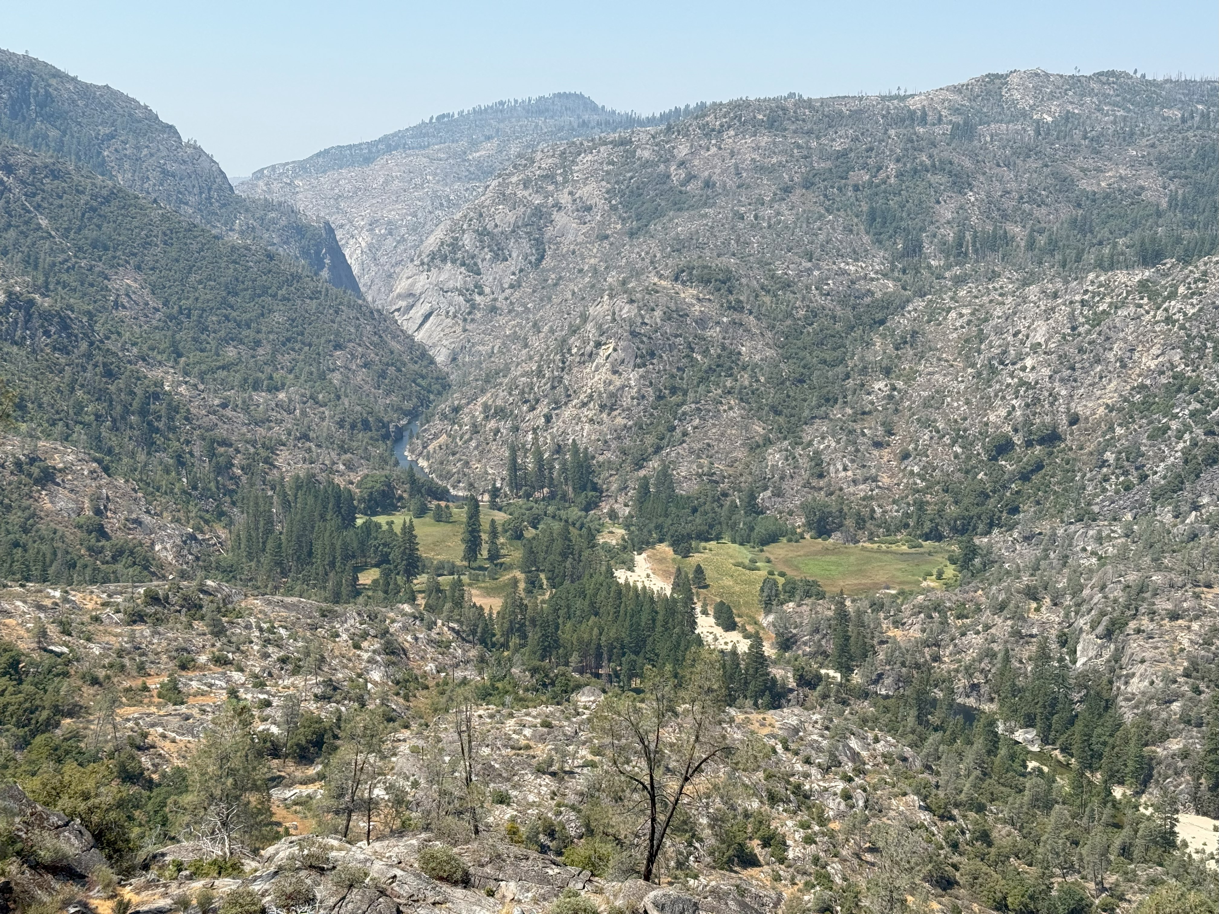
<h2>McGurk Meadow</h2> <p>The trail leads downhill to McGurk Meadow and the site of an old cabin that belonged to sheepherder John McGurk. During early summer, look for a tremendous show of wildflowers.</p> <p><strong>Distance: </strong>1.6 miles (2.5 km) round-trip<br /> <str…
Poopenaut Valley Trailhead
~31 min drive
<p>This short, steep hike down to the Tuolumne River in Poopenaut Valley is a great spot for wildflowers in spring. Be aware that this is a steep hike on the return trip to the parking area. If you hike down, you must be able to hike back up! Parking is very limited.<br /> <br…
Hite Cove
~5 min drive
Moderate 6.7-mile Sierra foothills climb with 2,460 ft elevation gain.
Texas Hill Mine
~7 min drive
Historic 3.9-mile foothills trail with 578 ft gain and mining heritage.
Ned's Gulch
~9 min drive
Short, steady climb through a scenic California gulch with accessible terrain.
Chilnualna Falls Trailhead
~32 min drive
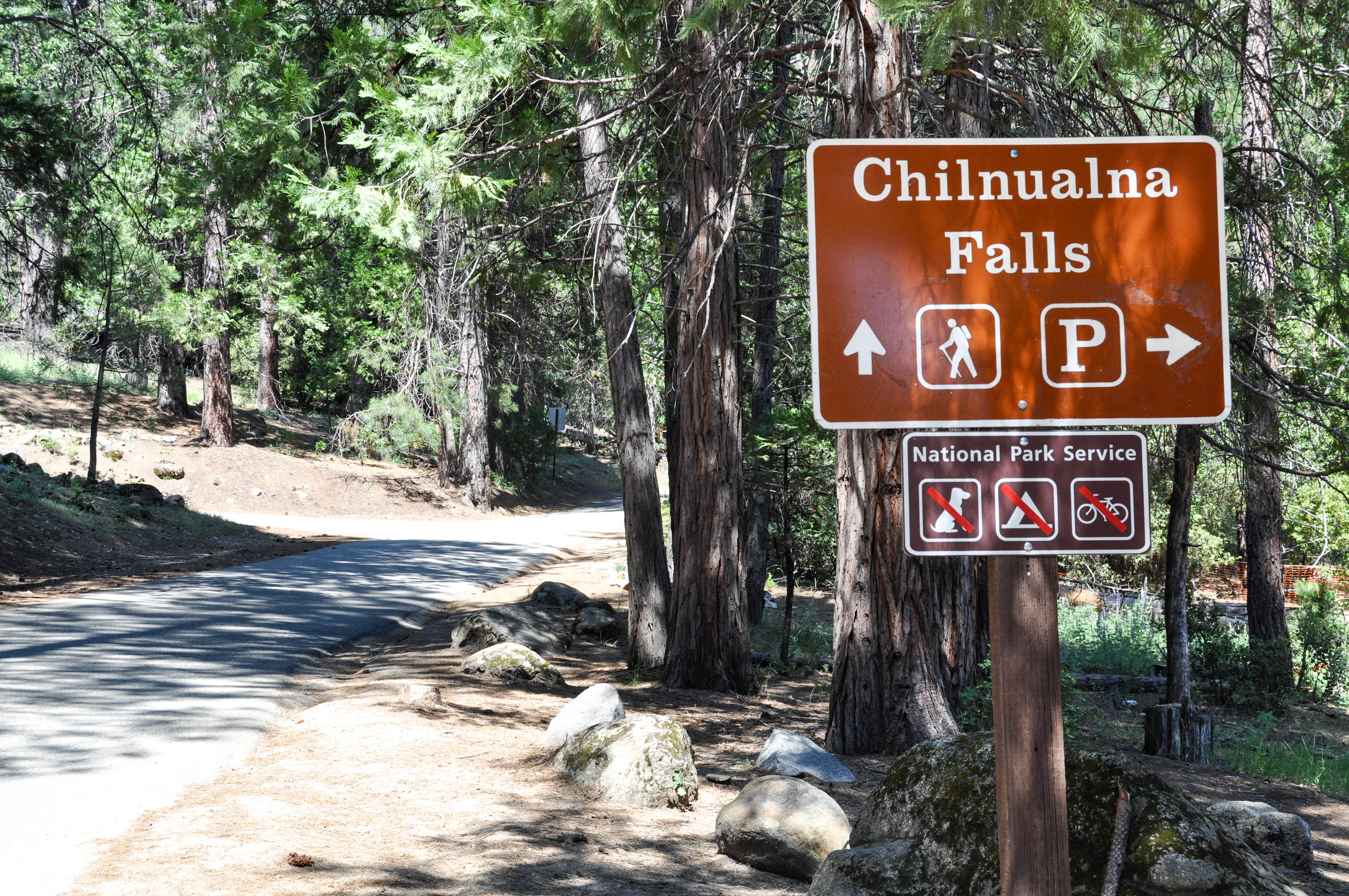
<p>Chilnualna Falls, pronounced "Chil-noo-al-na," is a steep hike featuring views of the falls and Wawona Dome. The waterfall is comprised of five large cascades sliding through and over large granite formations above the Wawona basin. Along the way, hikers will enjoy sweeping…
Pinoch Ridge
~10 min drive
Challenging 11.8-mile ridge traverse with 3,658 ft elevation gain.
Savage
~12 min drive
Moderate 5.2-mile trail with 795 ft gain near Savage, California.
Bandarita H2o Tanks
~9 min drive
Steep 1.44-mile desert climb to historic water tanks with expansive views.
Four Mile Trailhead
~33 min drive
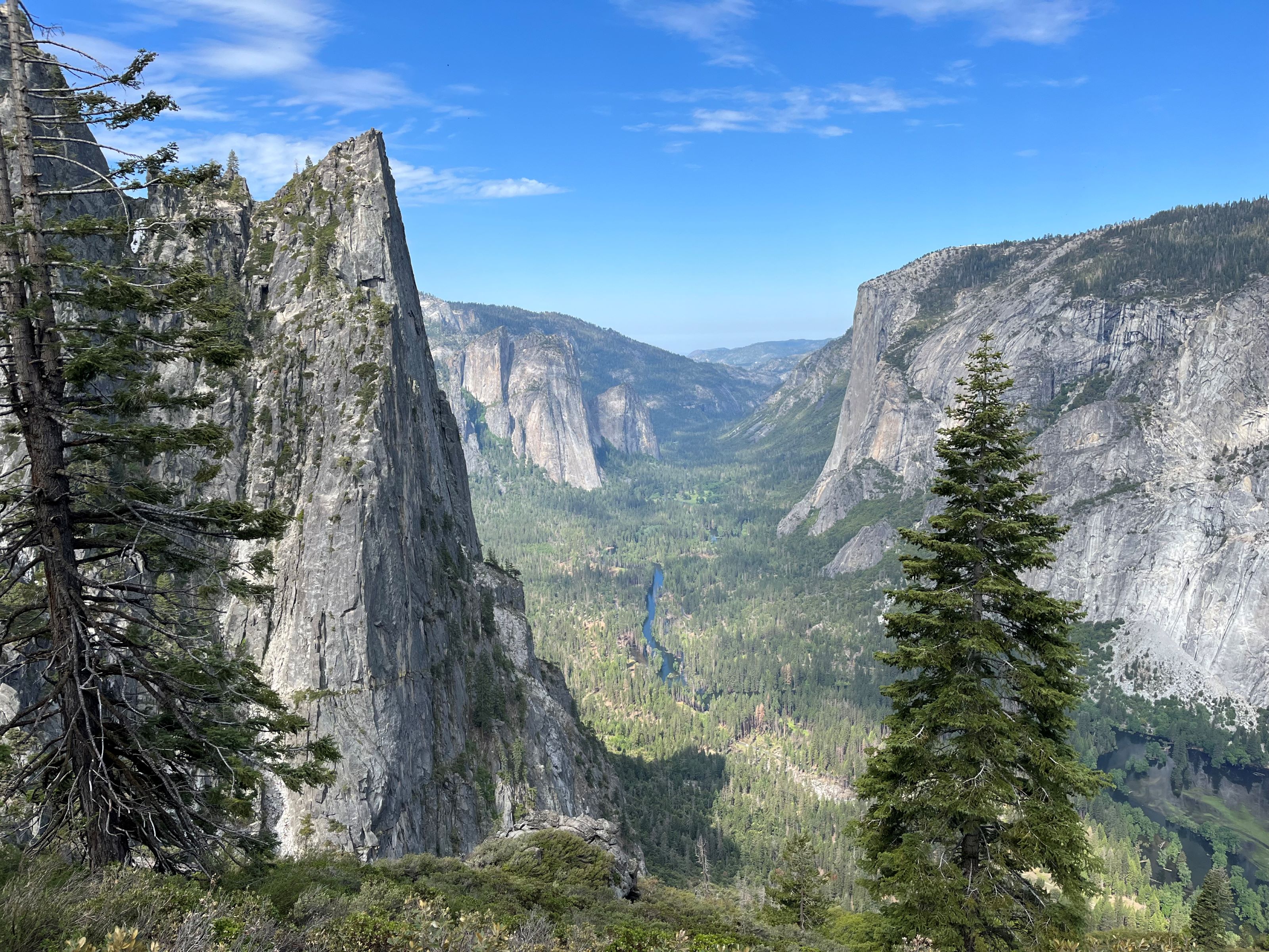
<p>The Four Mile Trail features remarkable, panoramic views of Yosemite Falls, El Capitan, Sentinel Rock, Half Dome, and Tenaya Canyon. This steep trail is challenging, all-day hike. The Four Mile Trail leads to Glacier Point, where restrooms and a snack stand are available in…