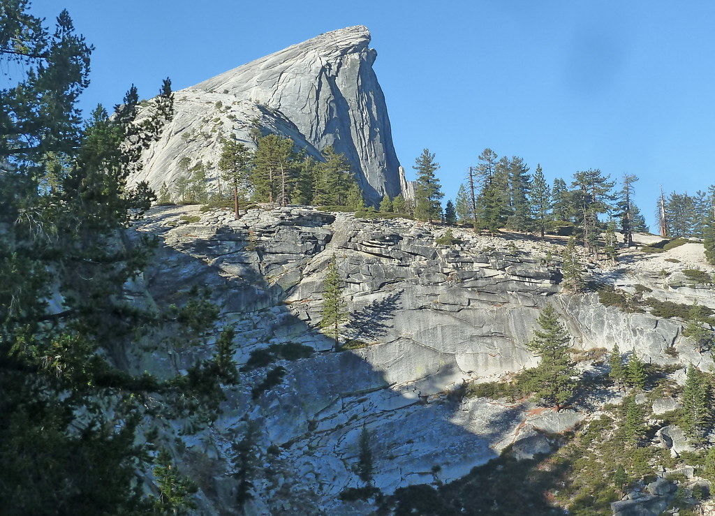
Dirt Flat
Campground
Campground · < 0.1 mi from the trail
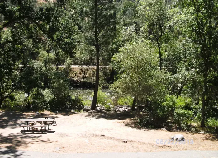 Photo: Recreation.gov (RIDB) / public domain
Closure in the area
There's a closure order in Sierra National Forest. It doesn't name Dirt Flat, so check the source for the area it covers (3 listed).
Safety Tips for Burned Areas: Garnet Fire Area
Agency closure covering Sierra National Forest · USFS · Sierra National Forest
Wilderness Food and Refuse Storage
Agency closure covering Sierra National Forest · Order 05-15-00-26-03 · USFS · Sierra National Forest
Food and Refuse Storage
Agency closure covering Sierra National Forest · Order 05-15-00-26-02 · USFS · Sierra National Forest
Forest Order removes Fish Camp, Soda Springs, and Little Jackass from closure list
Agency alert covering Sierra National Forest · Order 05-15-00-26-11 · USFS · Sierra National Forest
Ansel Adams and John Muir Wilderness Campfire Restrictions
Agency alert covering Sierra National Forest · Order 05-15-00-26-09 · USFS · Sierra National Forest
As of · Source: USFS · Sierra National Forest. Agencies don't list every closure — check before you go.
Dirt Flat campground is situated on the north side of the Merced River. This small camp features walk-in tent sites on the river. The remote locates of the site makes for a quiet and peaceful camping experience.
Dirt Flat
Campground
Cedar House Restaurant
Restaurant
Roosevelt Point
Viewpoint
Scenic viewpoint in Yosemite National Park
Places © OpenStreetMap contributors
More in Yosemite ValleyNot on Roamze yet. Their page has how to reach them.
Best months: February–June and September–November. Best months have typical highs of 55–85 °F, lows of 30 °F or warmer (32 °F where the station doesn't record snow), at most one snowy day and no more than 12 wet days.
Jan
53° / 31°
10 wet
Feb
55° / 32°
9 wet
Mar
60° / 35°
10 wet
Apr
65° / 38°
7 wet
May
73° / 44°
4 wet
Jun
83° / 51°
1 wet
Jul
91° / 56°
0 wet
Aug
91° / 55°
1 wet
Sep
85° / 50°
2 wet
Oct
74° / 42°
4 wet
Nov
60° / 35°
8 wet
Dec
52° / 31°
10 wet
Typical high / low (°F) and days with rain or snow, 1991–2020. Measured at Groveland 2, CA, 24.4 mi away at 2,800 ft. The station sits about 1,200 ft higher than this place, so expect it a little warmer here. This station doesn't record snowfall. Source: NOAA NCEI U.S. Climate Normals 1991–2020.
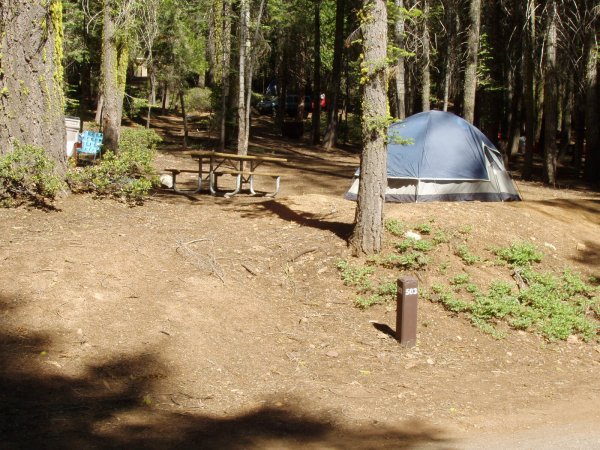 Photo: Eeekster, CC BY 3.0 (via Wikimedia Commons)
Crane Flat Campground
~10 min drive
Crane Flat Campground is a campground in California at about 6,143 feet. It is managed by the National Park Service.
BED
Crane Flat Campground
~11 min drive
 Photo: Eeekster, CC BY 3.0 (via Wikimedia Commons)
Tamarack Flat Campground
~14 min drive
Tamarack Flat Campground is a campground in California at about 6,342 feet, with 52 sites. It is managed by the National Park Service.
BED
Hodgdon Meadow Campground
~16 min drive
BED
Wawona Campground
~20 min drive
BED
Bridalveil Creek Campground
~21 min drive
 Photo: niiicedave — CC BY-SA 2.0 (via Flickr)
Wawona Campground
~21 min drive
Wawona Campground is a campground in California at about 3,899 feet, with 97 sites. It is managed by the National Park Service.
 Photo: Diliff, CC BY-SA 3.0 (via Wikimedia Commons)
Camp 4
~24 min drive
Camp 4 is a campground in California at about 3,982 feet, with 35 sites. It is managed by the National Park Service.
 Photo: nakamuraphotography — CC BY-SA 2.0 (via Flickr)
Camp Wawona
~25 min drive
Camp Wawona is a campground in California at about 4,304 feet. It is managed by the National Park Service.
 Photo: Original photo: advencap on Flickr Modified by Gazebo on August 28, 2015 with lossless optimization, the removal of the ICC color profile, the, CC BY-SA 2.0 (via Wikimedia Commons)
Housekeeping Camp
~26 min drive
Housekeeping Camp is a campground in California at about 3,967 feet. It is managed by the National Park Service.
Dirt Flat
7 sites for tent camping