Crane Flat Campground
Campground
Campground · 1.8 mi from the trail
 Photo: epredator, CC BY 2.0 (via Flickr)
Caution today
Agency alerts are in effect for this area; weather is marginal · USFS, OpenWeather · checked 6 h ago
Closure in the area
There's a closure order in Stanislaus National Forest. It doesn't name Moss Canyon Truck Trail, so check the source for the area it covers (2 listed).
Stanislaus National Forest extends seasonal MVUM closure for two high elevation roads
Agency closure covering Stanislaus National Forest · USFS · Stanislaus National Forest
Extension of Seasonal Road Closures
Agency closure covering Stanislaus National Forest · USFS · Stanislaus National Forest
As of · Source: USFS · Stanislaus National Forest. Agencies don't list every closure — check before you go.
Moss Canyon Truck Trail is a hike in California's Yosemite National Park, managed by the National Park Service, on land that borders the Groveland Ranger District of Stanislaus National Forest. It is rated hard, covering 6.93 miles one way with about 1,200 feet of climbing in that direction. This out-and-back runs about 13.9 miles round trip, with roughly 3,800 feet of climbing over the full trip. The route starts near 5,900 feet and drops to a low point of about 4,470 feet, so much of the return leg is uphill. The high point sits just above the start at about 5,950 feet. The grade is steady rather than broken into sharp pitches. The steepest stretch, about 17 percent, comes around mile 6.2. Summer and early fall are the most comfortable times to go. At a weather station 1.8 miles away, typical July highs average about 75°F, and September averages around 70°F with very few wet days. The Merced Grove Trail (Old Coulterville Rd) and Old Coulterville Road are both under a mile away. For overnight stays, Crane Flat Campground is 1.8 miles off and Hodgdon Meadow Campground is about 4.4 miles away.
Crane Flat Campground
Campground
Cedar House Restaurant
Restaurant
Roosevelt Point
Viewpoint
Scenic viewpoint in Yosemite National Park
Places © OpenStreetMap contributors
More in Yosemite ValleyNot on Roamze yet. Their page has how to reach them.
Merced Grove Trail (Old Coulterville Rd)HikingPhoto: epredator, CC BY 2.0 (via Flickr)0.4 miOld Coulterville RoadHikingPhoto: epredator, CC BY 2.0 (via Flickr)0.8 mi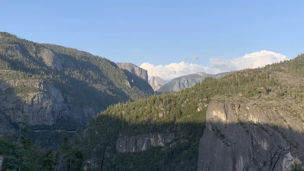 Crane Flat CampgroundCampingPhoto: Recreation.gov (RIDB) / public domain1.8 mi
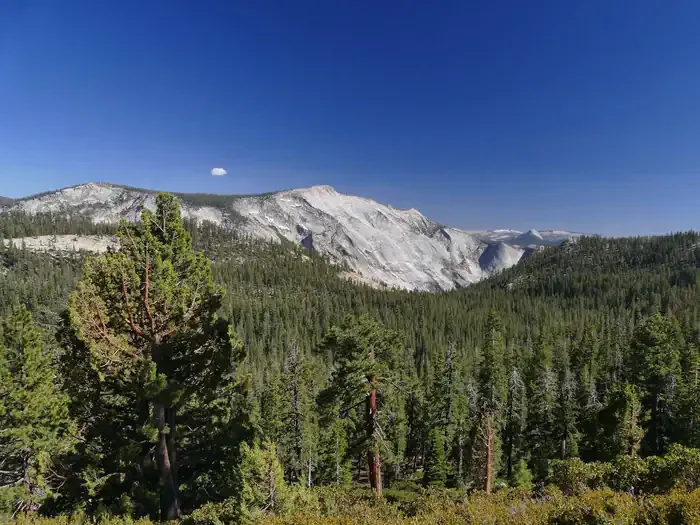 Hodgdon Meadow CampgroundCampingPhoto: Recreation.gov (RIDB) / public domain4.4 mi
 South Fork Tuolumne RiverCanoeingPhoto: Eeekster, CC BY 3.0 (via Wikimedia Commons)5.7 mi
 Road Closure CragRock climbingPhoto: btwashburn, CC BY 2.0 (via Flickr)5.8 mi
Source: Roamze catalog (indexable pages within 10 miles, PostGIS distance)
Merced Grove Trail (Old Coulterville Rd)Hiking · Next doorPhoto: epredator, CC BY 2.0 (via Flickr) Old Big Oak Flat Road TrailHiking · ~10 min drivePhoto: Seth Tisue, CC BY-SA 2.0 (via Flickr)
 Jenkins HillHiking · ~13 min drivePhoto: stevelyon, CC BY-SA 2.0 (via Flickr)Old Coulterville RoadHiking · ~1 min drivePhoto: epredator, CC BY 2.0 (via Flickr)
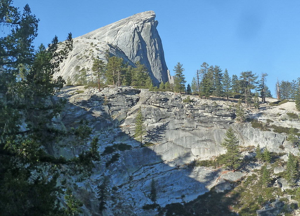 Pinoch RidgeHiking · ~11 min drivePhoto: scorpio-tiger, CC BY-SA 2.0 (via Flickr)
 Old Wawona RoadHiking · ~15 min drivePhoto: Richard Wood, CC BY-SA 3.0 (via Wikimedia Commons)
 Tuolumne Grove Loop TrailHiking · ~5 min drivePhoto: mtnscll, CC BY-SA 2.0 (via Flickr)
 Hite CoveHiking · ~11 min drivePhoto: Ken Lund, CC BY-SA 2.0 (via Flickr)
 Chinquapin TrailHiking · ~17 min drivePhoto: inkknife_2000 (7.5 million views +), CC BY-SA 2.0 (via Wikimedia Commons)
 Carlon Falls TrailHiking · ~9 min drivePhoto: Elaine with Grey Cats, CC BY-SA 2.0 (via Flickr)
Best months: May–October. Best months have typical highs of 55–85 °F, lows of 30 °F or warmer (32 °F where the station doesn't record snow), at most one snowy day and no more than 12 wet days.
Jan
44° / 32°
10 wet
Feb
42° / 31°
9 wet
Mar
45° / 32°
10 wet
Apr
49° / 36°
8 wet
May
58° / 43°
7 wet
Jun
67° / 52°
3 wet
Jul
75° / 60°
1 wet
Aug
75° / 59°
1 wet
Sep
70° / 54°
2 wet
Oct
60° / 46°
4 wet
Nov
49° / 37°
7 wet
Dec
43° / 32°
9 wet
Typical high / low (°F) and days with rain or snow, 1991–2020. Measured at Yosemite Village 12 W, CA, 1.8 mi away at 6,620 ft. The station sits about 700 ft higher than this place, so expect it a little warmer here. This station doesn't record snowfall. Source: NOAA NCEI U.S. Climate Normals 1991–2020.
Map and trail data © OpenStreetMap contributors
