Pine Marten
Campground
Campground · 0.4 mi from the trail
 Photo: npdoty, CC BY 2.0 (via Flickr)
Closure in the area
There's a closure order in Stanislaus National Forest. It doesn't name Inspiration Point, so check the source for the area it covers (2 listed).
Stanislaus National Forest extends seasonal MVUM closure for two high elevation roads
Agency closure covering Stanislaus National Forest · USFS · Stanislaus National Forest
Extension of Seasonal Road Closures
Agency closure covering Stanislaus National Forest · USFS · Stanislaus National Forest
As of · Source: USFS · Stanislaus National Forest. Agencies don't list every closure — check before you go.
Inspiration Point is an easy out-and-back hike in the Calaveras Ranger District of Stanislaus National Forest in California, about 1.4 miles long with a one-way elevation gain of 543 feet. The trail starts at a low point of about 7,331 feet and climbs to a high point of about 7,897 feet. The route is on natural surface, and the Forest Service allows both horses and bikes. It is open year-round, and the closest town is likely a short drive away. Summer is the most comfortable time to go. Typical averages from a nearby weather station at a similar elevation show July highs around 75°F with lows near 49°F and only about two wet days in the month. Winter is much colder, with January highs around 36°F. Lake Alpine Recreation Area, a lake fishing spot, is about 0.2 miles away, and Pine Marten and Silver Valley campgrounds are each about 0.4 miles off. The Lakeshore Trail, a mountain biking route, is about 0.1 miles from the trailhead.
Pine Marten
Campground
Lake Alpine Resort
Restaurant
 If it rainsJunkyardsparkle, CC0 · Wikimedia Commons
Places © OpenStreetMap contributors · Photos: Junkyardsparkle, CC0 (commons)
More in Bear ValleyBest months: May–October. Best months have typical highs of 55–85 °F, lows of 30 °F or warmer (32 °F where the station doesn't record snow), at most one snowy day and no more than 12 wet days.
Jan
36° / 23°
9 wet
Feb
37° / 23°
8 wet
Mar
42° / 26°
7 wet
Apr
48° / 29°
5 wet
May
56° / 35°
4 wet
Jun
66° / 42°
2 wet
Jul
75° / 49°
2 wet
Aug
74° / 49°
1 wet
Sep
67° / 44°
2 wet
Oct
55° / 36°
3 wet
Nov
43° / 28°
5 wet
Dec
35° / 23°
7 wet
Typical high / low (°F) and days with rain or snow, 1991–2020. Measured at Dagget Pass, NV, 35.1 mi away at 7,334 ft. The station sits about 600 ft lower than this place, so expect it a little cooler here. This station doesn't record snowfall. Source: NOAA NCEI U.S. Climate Normals 1991–2020.
 Photo: lamblukas, CC BY 2.0 (via Flickr)
Three Creeks
Next door
1.68-mile out-and-back trail in California with 407 ft elevation gain/loss.
Photo: lamblukas, CC BY 2.0 (via Flickr)Highland Creek
Next door
33.98-mile out-and-back trail in California with 3,227 ft elevation gain.
 Photo: wiskinator, CC BY 2.0 (via Flickr)
Elephant Rock
~1 min drive
5.19-mile out-and-back trail to Elephant Rock in California with 344 ft gain.
Photo: lamblukas, CC BY 2.0 (via Flickr)Lower Woodchuck Trail
~1 min drive
2.62-mile out-and-back hike in California with 673 ft gain/loss
 Photo: ilya_ktsn, CC BY 2.0 (via Flickr)
Lake Valley
~5 min drive
11.45-mile out-and-back trail in California with 378 ft elevation gain.
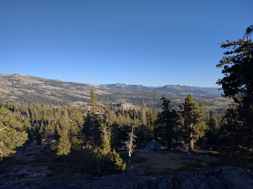 Photo: npdoty, CC BY 2.0 (via Flickr)
Emigrant Trail
~3 min drive
A 3.20-mile out-and-back trail in California connected to the Mormon Carson Emigrant Trail system.
 Photo: lamblukas, CC BY 2.0 (via Flickr)
ALPINE HORSE TRAIL LOOP
~1 min drive
2.32-mile out-and-back trail in California with 671 ft gain/loss
Photo: ilya_ktsn, CC BY 2.0 (via Flickr)Underwood Valley
~4 min drive
15.35-mile out-and-back trail in California with 2,156 ft elevation gain.
Photo: ilya_ktsn, CC BY 2.0 (via Flickr)Pack Trail
~4 min drive
Pack Trail is a 1.82-mile out-and-back hike in California with 771 ft of elevation gain.
 Photo: weldonwk, CC BY 2.0 (via Flickr)
Lk Alpine Cg to Chickaree
~1 min drive
1.86-mile out-and-back trail in California with 7,606 ft gain.
Season: Year-round.
About 1.4 mi round trip.
About 543 ft of climbing round trip.
It is rated easy.
Year-round.
Daily highs and lows, wind and the chance of precipitation at the summit and route start for the next 7 days, from the Open-Meteo model.
