Indian Trail
- 0.4 mi
- round trip
- 12 ft
- climb
- 1,546 ft
- high point
- Out and back
- route
- Oct–Apr
- best months
Indian Trail is a short, easy out-and-back hike on Bureau of Land Management land in California, within the Barstow Field Office. It is less than half a mile long, and the route is flat, with a total elevation gain of 12 feet over its 0.86-mile round trip. The trail starts at about 1,534 feet and reaches a high point of 1,546 feet before returning to the same level. Spring and fall are the most comfortable times to visit. Typical averages from the nearby Twentynine Palms weather station show March highs around 74°F and October highs around 85°F, while June and July average in the 99 to 104°F range. The trail takes about half an hour to complete, and the Nevada Trail lies about a mile away. The Utah Trail East and the Highway 62 Crags climbing area are both roughly 7 miles off, and the Oasis of Mara Trailhead is about 8 miles away.
- Nevada TrailHiking1 mi
- Utah Trail EastHiking6.9 mi
- Highway 62 CragsRock climbing7.2 mi
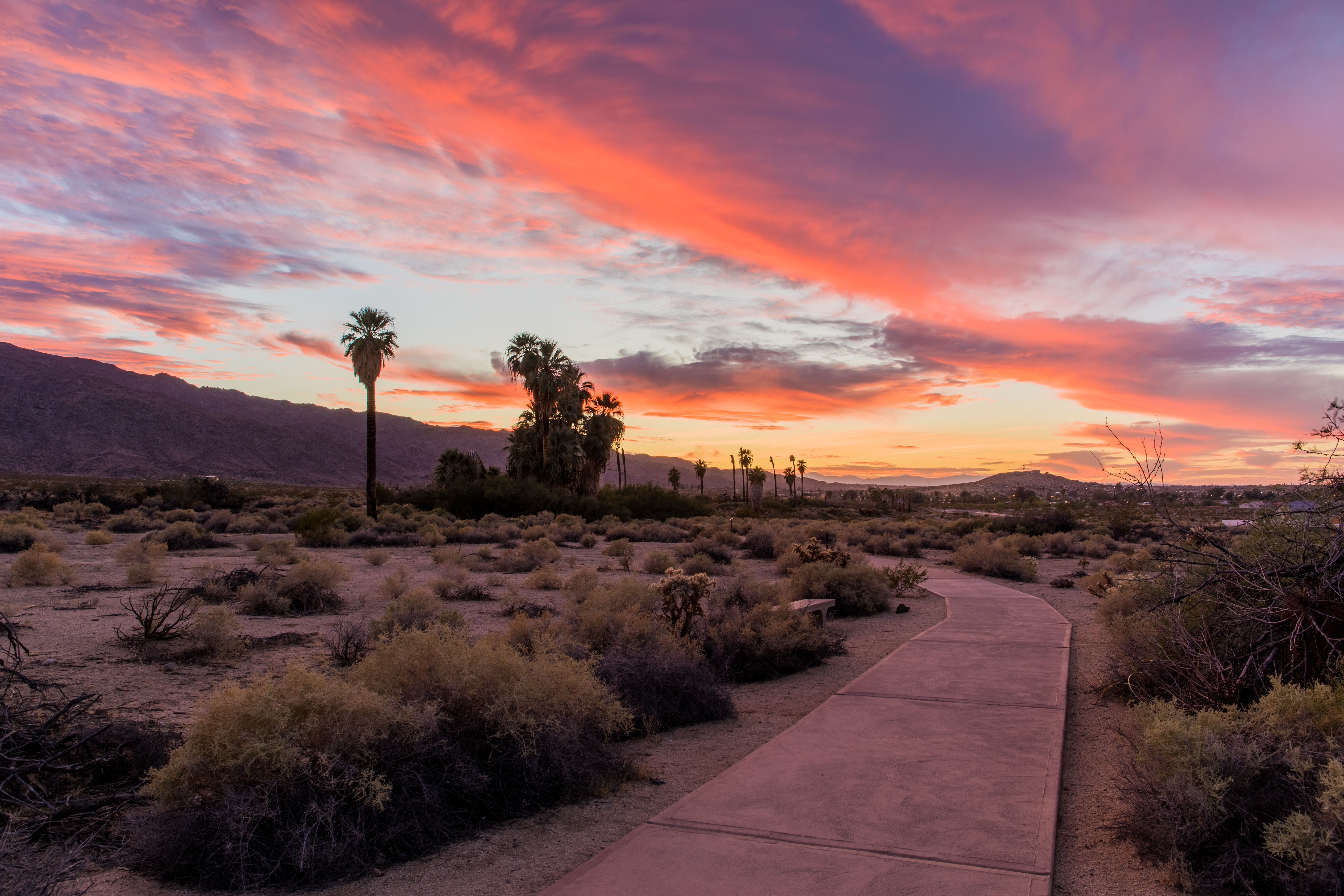 Oasis of Mara TrailheadHikingPhoto: NPS / Glauco Puig-Santana8 mi
- Goldfinger RockRock climbing10 mi
Source: Roamze catalog (indexable pages within 10 miles, PostGIS distance)
- Oasis of Mara TrailheadHiking · ~14 min drive
- Desert Tortoise (Contact Mine)Hiking · ~18 min drive
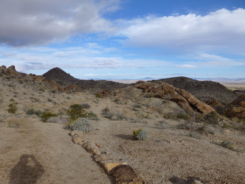 Fortynine Palms TrailHiking · ~21 min drivePhoto: neighborhoods.org, CC BY-SA 2.0 (via Flickr)
- California Riding and Hiking Trail at Geology Tour RoadHiking · ~29 min drive
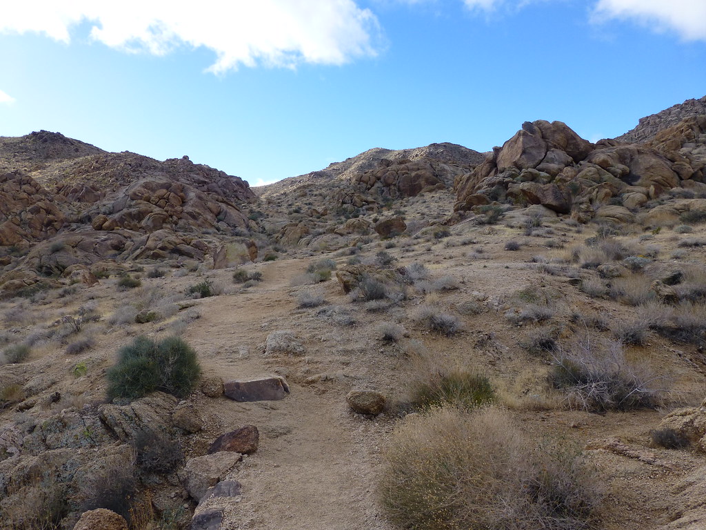 Elk TrailHiking · ~21 min drivePhoto: neighborhoods.org, CC BY-SA 2.0 (via Flickr)
- Indian TrailHiking · ~3 min drive
- California Riding and Hiking TrailHiking · ~17 min drive
- Pine City TrailheadHiking · ~25 min drive
- Contact Mine TrailHiking · ~18 min drive
- Old Chisholm TrailHiking · ~23 min drive
Best time to visit Indian Trail
Best months: October–April. Best months have typical highs of 55–85 °F, lows of 30 °F or warmer (32 °F where the station doesn't record snow), at most one snowy day and no more than 12 wet days.
Jan
63° / 42°
3 wet
Feb
67° / 44°
3 wet
Mar
74° / 49°
2 wet
Apr
81° / 55°
1 wet
May
90° / 63°
1 wet
Jun
99° / 71°
0 wet
Jul
104° / 77°
2 wet
Aug
103° / 76°
2 wet
Sep
96° / 69°
2 wet
Oct
85° / 58°
1 wet
Nov
72° / 47°
1 wet
Dec
62° / 40°
2 wet
Typical high / low (°F) and days with rain or snow, 1991–2020. Measured at Twentynine Palms, CA, 8 mi away at 1,975 ft. This station doesn't record snowfall. Source: NOAA NCEI U.S. Climate Normals 1991–2020.


Map and trail data © OpenStreetMap contributors
