Sagehen Creek
Campground
Campground · 1.9 mi from the trail
Independence Lake South Shore Trail is a 5.5-mile out-and-back hike in California's Independence Lake Preserve, managed by a non-governmental organization. The trail climbs steadily from a starting point of about 7,000 feet to a high point of 7,142 feet, with a total gain of 3,200 feet over the course of the round trip. The route is rated hard, and the steepest stretch comes at about 2.4 miles in, where the grade reaches 19%. Summer is the most comfortable time to go. Typical averages from the nearby Sagehen Creek weather station, which sits about 800 feet lower, show July highs around 80°F with lows near 37°F, while winter highs stay in the low 40s. The hike takes about 3.5 hours. The Independence Lake Loop and Mount Lola Trail are both within about 3 miles, and the Little Truckee River offers canoeing about 2 miles away.
Sagehen Creek
Campground
Alder Creek Cafe
Restaurant
Places © OpenStreetMap contributors
More in Sunnyside-Tahoe CityNot on Roamze yet. Their page has how to reach them.
 Little Truckee RiverCanoeingPhoto: tomhilton, CC BY 2.0 (via Wikimedia Commons)2.1 mi
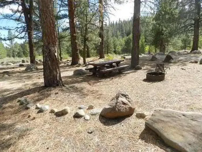 Upper Little TruckeeCampingPhoto: Recreation.gov (RIDB) / public domain3.7 mi
Source: Roamze catalog (indexable pages within 10 miles, PostGIS distance)
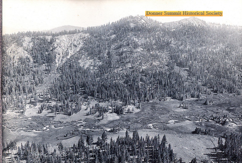 Carpenter Valley Loop TrailHiking · ~6 min drivePhoto: donner summit historical society, Public Domain Mark (via Flickr)
 Warren LakeHiking · ~9 min drivePhoto: ilya_ktsn, CC BY 2.0 (via Flickr)
 Pacific Crest National Scenic Trail #2000Hiking · ~10 min drivePhoto: ilya_ktsn, CC BY 2.0 (via Flickr)
 Warren LakeHiking · ~11 min drivePhoto: scorpio-tiger, CC BY-SA 2.0 (via Flickr)Carpenter Valley TrailHiking · ~7 min drivePhoto: donner summit historical society, Public Domain Mark (via Flickr)
 Hawk's PeakHiking · ~11 min drivePhoto: mjhbower, CC BY-SA 2.0 (via Flickr)
 Sundance CutoffHiking · ~10 min drivePhoto: Dana L. Brown, CC BY-SA 2.0 (via Flickr)
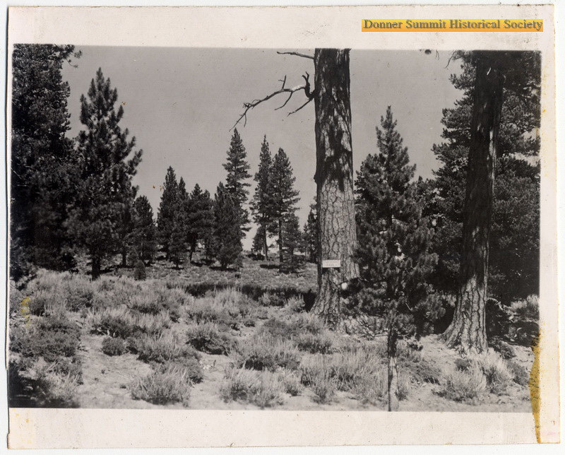 Prosser Knob LoopHiking · ~11 min drivePhoto: donner summit historical society, Public Domain Mark (via Flickr)
Best months: June–August. Best months have typical highs of 55–85 °F, lows of 30 °F or warmer (32 °F where the station doesn't record snow), at most one snowy day and no more than 12 wet days.
Jan
40° / 15°
Feb
41° / 15°
Mar
48° / 19°
Apr
53° / 22°
May
62° / 28°
Jun
72° / 32°
Jul
80° / 37°
Aug
79° / 35°
Sep
73° / 31°
Oct
61° / 24°
Nov
49° / 20°
Dec
39° / 14°
Typical high / low (°F) and days with rain or snow, 1991–2020. Measured at Sagehen Creek, CA, 2.8 mi away at 6,337 ft. The station sits about 800 ft lower than this place, so expect it a little cooler here. This station doesn't record snowfall. Source: NOAA NCEI U.S. Climate Normals 1991–2020.
Map and trail data © OpenStreetMap contributors
