Howards Gulch Trail
- 1.2 mi
- round trip
- 164 ft
- climb
- 4,885 ft
- high point
- Out and back
- route
- May–Jun, Sep
- best months
Is Howards Gulch Trail open right now?
Alert in the area
The Forest Service lists an alert for Modoc National Forest.
Forest Fire Restrictions 2026 have been lifted as of 09/27/2026
Agency alert covering Modoc National Forest · USFS · Modoc National Forest
As of · Source: USFS · Modoc National Forest. Agencies don't list every closure — check before you go.
Howards Gulch Trail is a short, easy hike in the Devils Garden Ranger District of Modoc National Forest in California, managed by the Forest Service. The trail is about 1.2 miles long and rises roughly 164 feet from a low point of about 4,716 feet to a high of about 4,885 feet. It is an out-and-back route, and the surface is natural, so expect dirt and rock rather than a smooth path. The most comfortable months for a visit are typically late spring and early fall. Typical averages from a nearby weather station show May highs around 69°F and September highs around 80°F, while July and August average in the upper 80s. Bikes are allowed on the trail. Howards Gulch campground sits just 0.1 mile away, and the Duncan South and Duncan North boating sites are both within about 3 miles. The Pit River Trail lies about 8 miles off.
- Howards GulchCamping0.1 mi
- Duncan South Boating SiteLake fishing2.1 mi
- Duncan North Boating SiteLake fishing2.8 mi
- Pit River TrailHiking7.8 mi
- Reservoir FCamping8.4 mi
Source: Roamze catalog (indexable pages within 10 miles, PostGIS distance)
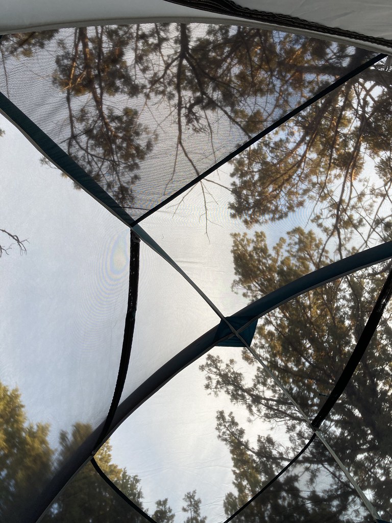 Caldwell Minor TrailHiking · ~54 min drivePhoto: bgwashburn, CC BY 2.0 (via Flickr)
- Petroglyph Point Trail Start, Tulelake, CaHiking · ~57 min drive
 Little Mount Hoffman TrailHiking · ~59 min drivePhoto: ex_magician, CC BY 2.0 (via Flickr)
- Three Sisters TrailHiking · ~53 min drive
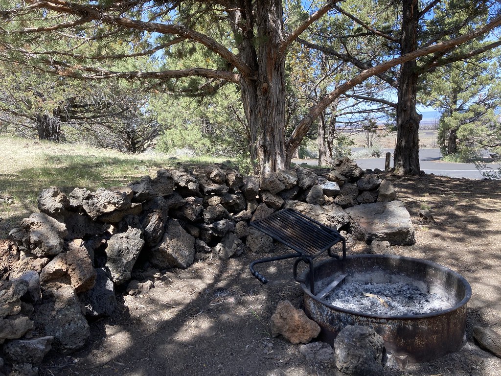 Indian Well CampgroundHiking · ~55 min drivePhoto: bgwashburn, CC BY 2.0 (via Flickr)
- Schonchin Butte Trail Start, Tulelake, CaHiking · ~58 min drive
- Red Tail Rim TrailHiking · ~40 min drive
- Modoc Line TrailHiking · ~59 min drive
- Bunchgrass Trail Start, Tulelake, CAHiking · ~55 min drive
- Whitney Butte Trail Start, Tulelake, CaHiking · ~59 min drive
Best time to visit Howards Gulch Trail
Best months: May–June and September. Best months have typical highs of 55–85 °F, lows of 30 °F or warmer (32 °F where the station doesn't record snow), at most one snowy day and no more than 12 wet days.
Jan
42° / 20°
Feb
48° / 23°
Mar
53° / 27°
Apr
59° / 30°
May
69° / 37°
Jun
78° / 43°
Jul
88° / 48°
Aug
87° / 45°
Sep
80° / 38°
Oct
67° / 28°
Nov
52° / 23°
Dec
41° / 19°
Typical high / low (°F) and days with rain or snow, 1991–2020. Measured at Canby 3 Sw, CA, 5.6 mi away at 4,310 ft. The station sits about 600 ft lower than this place, so expect it a little cooler here. This station doesn't record snowfall. Source: NOAA NCEI U.S. Climate Normals 1991–2020.
