Skypark Camp + RV Resort
Campground
Campground · 0.6 mi from the trail
 Photo: JingKe888, CC BY 2.0 (via Flickr)
Closure in the area
There's a closure order in Mountaintop Ranger District. It doesn't name Heaps Peak Arboretum, so check the source for the area it covers.
Radford Fire Closure Area
Agency closure covering Mountaintop Ranger District · Order 05-12-52-24-06 · USFS · Mountaintop Ranger District
Safety Alert - Falling Rocks at Bonita Falls
Agency alert covering San Bernardino National Forest · USFS · San Bernardino National Forest
Fire Restrictions
Agency alert covering San Bernardino National Forest · Order 05-12-00-26-05 · USFS · San Bernardino National Forest
As of · Source: USFS · Mountaintop Ranger District. Agencies don't list every closure — check before you go.
Heaps Peak Arboretum is a short, easy hike in the Mountaintop Ranger District of San Bernardino National Forest, about a mile from the trailhead. The route is an out-and-back that gains about 75 feet, from a low point of 5,912 feet to a high of 5,990 feet. The trail is accessible and has a mixed surface. Late spring and early fall are the most comfortable times to go. Typical averages from the Lake Arrowhead weather station, about 1.7 miles away, show May highs near 67°F and September highs near 74°F, with only a day or two of rain each month. That station sits roughly 785 feet below the trail, so temperatures on the hike run a little cooler. Lake Arrowhead - Green Valley Lake Recreation Area is about 1.3 miles away, and the ALA Trail is about 1.7 miles off. Climbers can head to Scot Rock, about 2.1 miles away, and North Shore campground is about 2.3 miles away.
Skypark Camp + RV Resort
Campground
 If it rainsBeyond My Ken, CC BY-SA 4.0 · Wikimedia Commons
Deep Creek Hot Springs
Hot spring
Natural hot springs located in San Bernardino National Forest, California, United States
Places © OpenStreetMap contributors, Places © Overture Maps Foundation · Photos: Beyond My Ken, CC BY-SA 4.0 (commons)
More in Lucerne Valley DogwoodHikingPhoto: Moo.The.Cow, CC BY 2.0 (via Flickr)2.8 mi
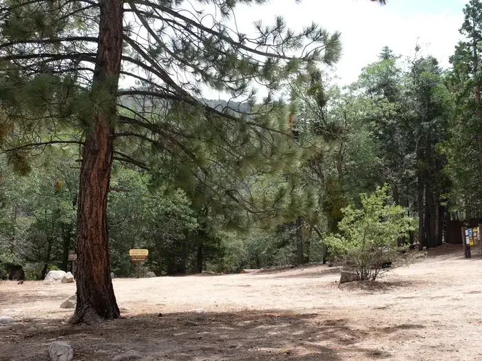 Fishermans GroupCampingPhoto: Recreation.gov (RIDB) / public domain3.1 mi
Source: Roamze catalog (indexable pages within 10 miles, PostGIS distance)
 AqueductHiking · ~8 min drivePhoto: InSapphoWeTrust from Los Angeles, California, USA, CC BY-SA 2.0 (via Wikimedia Commons)
 Metate / Rock CampHiking · ~8 min drivePhoto: USFWS Pacific Southwest Region, Public Domain Mark (via Flickr)
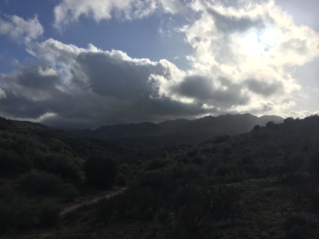 Bradford Ridge PathHiking · ~10 min drivePhoto: Rainhead, CC BY-SA 2.0 (via Flickr)MetateHiking · ~8 min drivePhoto: USFWS Pacific Southwest Region, Public Domain Mark (via Flickr)
 Little Green ValleyHiking · ~12 min drivePhoto: Yue Wu, CC BY 3.0 (via Wikimedia Commons)
 Pilot Rock TrailHiking · ~11 min drivePhoto: GSEC, CC BY 2.0 (via Flickr)
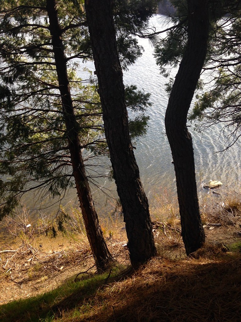 Lake Gregory TrailHiking · ~11 min drivePhoto: bdearth, CC BY 2.0 (via Flickr)Trail of the PhoenixHiking · ~12 min drivePhoto: Yue Wu, CC BY 3.0 (via Wikimedia Commons)
Also worth it near here
Best months: April–October. Best months have typical highs of 55–85 °F, lows of 30 °F or warmer (32 °F where the station doesn't record snow), at most one snowy day and no more than 12 wet days.
Jan
44° / 29°
6 wet · 1 snow
Feb
45° / 30°
6 wet · 1 snow
Mar
52° / 32°
6 wet · 1 snow
Apr
60° / 36°
4 wet · 1 snow
May
67° / 41°
2 wet
Jun
76° / 49°
1 wet
Jul
81° / 57°
1 wet
Aug
82° / 57°
1 wet
Sep
74° / 52°
1 wet
Oct
63° / 43°
2 wet
Nov
52° / 34°
3 wet
Dec
43° / 29°
5 wet · 1 snow
Typical high / low (°F) and days with rain or snow, 1991–2020. Measured at Lake Arrowhead, CA, 1.7 mi away at 5,205 ft. The station sits about 800 ft lower than this place, so expect it a little cooler here. Source: NOAA NCEI U.S. Climate Normals 1991–2020.
