Hidden Lake foot path
- 0.4 mi
- loop
- 14 ft
- climb
- 16 ft
- high point
- Loop
- route
- Jan–Dec
- best months
Hidden Lake foot path is a short, easy loop in California, about 0.9 miles from Milpitas. The route is 0.38 miles long, with a total elevation gain of 14 feet, and it sits at a high point of 16 feet. The climb is flat, and the path loops back to its starting point, so the total gain and loss are both 14 feet. Spring and fall are the most comfortable times to go. Typical averages from a nearby weather station in San Jose show May highs around 74°F and October highs around 76°F, with only a few wet days in each. Summer runs warmer, with highs near 81°F from July through September. The trip takes about half an hour. Coyote Creek Trail is 1.6 miles away, and Calera Creek Trail and Calaveras Ridge Trail are both within about 2.5 miles. Paddlers can reach Calaveras Creek, about 5.5 miles off.
- Coyote Creek TrailHiking1.6 mi
- Calera Creek TrailHiking2.3 mi
 Calaveras Ridge TrailHikingPhoto: Ken Lund, CC BY-SA 2.0 (via Flickr)2.5 mi
- Calaveras CreekCanoeing5.5 mi
 Alameda CreekCanoeingPhoto: Pi.1415926535, CC BY-SA 4.0 (via Wikimedia Commons)6.9 mi
 Indian Joe Caves boulderingRock climbingPhoto: npdoty, CC BY 2.0 (via Flickr)7.5 mi
- Cleavage RockRock climbing7.6 mi
- Indian Joe CavesRock climbingPhoto: npdoty, CC BY 2.0 (via Flickr)7.6 mi
Source: Roamze catalog (indexable pages within 10 miles, PostGIS distance)
- Calaveras Ridge TrailHiking · ~4 min drivePhoto: Ken Lund, CC BY-SA 2.0 (via Flickr)
 Bay Area Ridge TrailHiking · ~5 min drivePhoto: Lukáš Lalinský, CC BY-SA 2.0 (via Flickr)
- Calaveras Ridge TrailHiking · ~4 min drivePhoto: Ken Lund, CC BY-SA 2.0 (via Flickr)
 Hidden Valley TrailHiking · ~8 min drivePhoto: J Doll, CC BY 3.0 (via Wikimedia Commons)
- Los Coches Ridge TrailHiking · ~5 min drivePhoto: Ken Lund, CC BY-SA 2.0 (via Flickr)
- Peak Meadow TrailHiking · ~8 min drivePhoto: J Doll, CC BY 3.0 (via Wikimedia Commons)
- Airpoint TrailHiking · ~5 min drivePhoto: Ken Lund, CC BY-SA 2.0 (via Flickr)
- Horse Heaven TrailHiking · ~8 min drivePhoto: J Doll, CC BY 3.0 (via Wikimedia Commons)
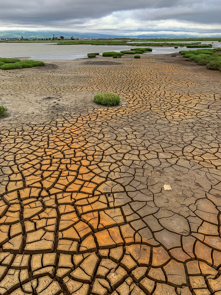 Mallard Slough TrailHiking · ~5 min drivePhoto: donjd2, CC BY 2.0 (via Flickr)
 Boccardo Loop TrailHiking · ~10 min drivePhoto: shervinafshar, CC BY-SA 2.0 (via Flickr)
Best time to visit Hidden Lake foot path
Best months: Year-round. Best months have typical highs of 55–85 °F, lows of 30 °F or warmer (32 °F where the station doesn't record snow), at most one snowy day and no more than 12 wet days.
Jan
60° / 42°
9 wet
Feb
62° / 44°
10 wet
Mar
66° / 46°
9 wet
Apr
69° / 48°
6 wet
May
74° / 52°
3 wet
Jun
79° / 56°
1 wet
Jul
81° / 58°
0 wet
Aug
81° / 59°
0 wet
Sep
81° / 57°
1 wet
Oct
76° / 53°
3 wet
Nov
66° / 46°
7 wet
Dec
59° / 42°
9 wet
Typical high / low (°F) and days with rain or snow, 1991–2020. Measured at San Jose, CA, 5.7 mi away at 51 ft. This station doesn't record snowfall. Source: NOAA NCEI U.S. Climate Normals 1991–2020.

Map and trail data © OpenStreetMap contributors
