Bay Area Ridge Trail
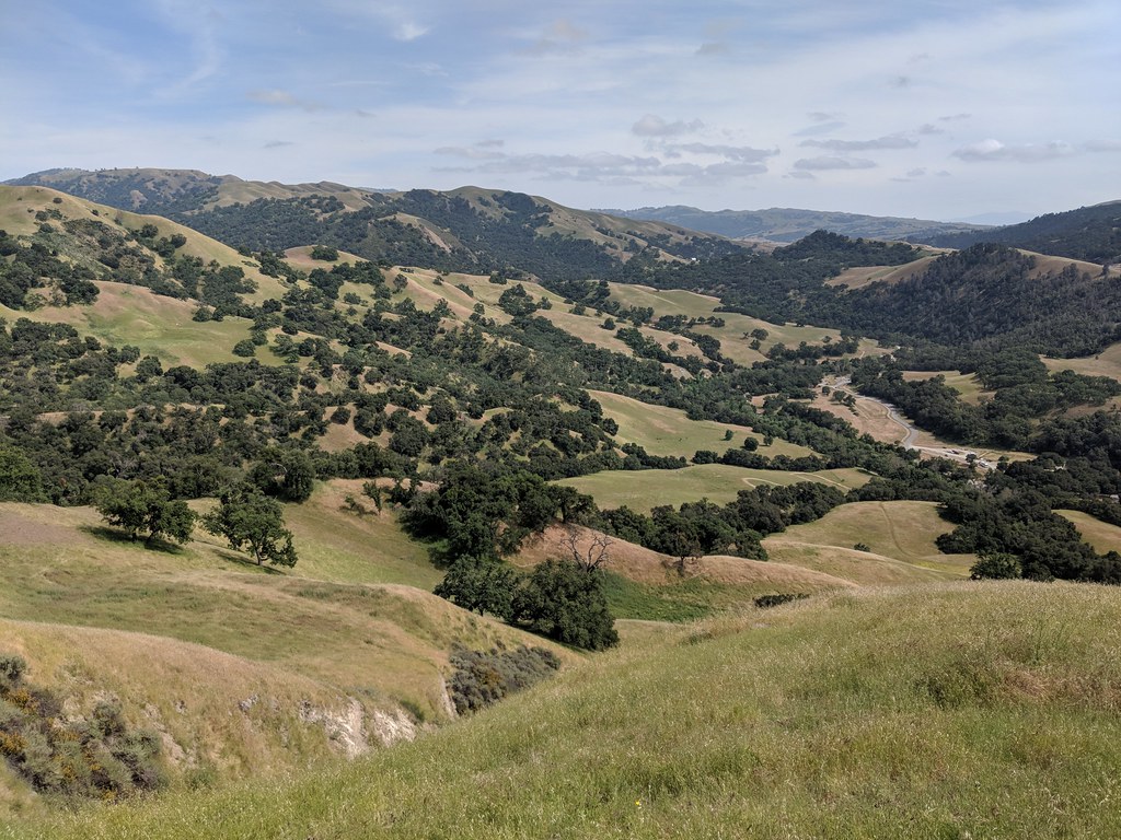
 Photo: Lukáš Lalinský, CC BY-SA 2.0 (via Flickr)
- 2.0 mi
- round trip
- 1,877 ft
- climb
- 2,511 ft
- high point
- Out and back
- route
The Bay Area Ridge Trail is a 4-mile out-and-back hike in Edward R. Levin Park in California, managed by county land. The trail rises from about 1,178 feet to a high point of about 2,511 feet, with a total elevation gain of roughly 1,877 feet. The climb is front-loaded, and the steepest stretch comes around 1.4 miles in, with a grade of about 27%. Spring and fall are the most comfortable times to go. Typical averages from a nearby weather station show May and November highs around 60 to 70 degrees, while summer runs warmer. Agua Caliente Trail and Sierra Trail both lie within half a mile, and Monument Peak Trail is about 0.6 miles away. Calaveras Creek, about 3.7 miles off, offers canoeing.
- Agua Caliente TrailHiking0.4 mi
 Sierra TrailHikingPhoto: Lukáš Lalinský, CC BY-SA 2.0 (via Flickr)0.5 mi
- Monument Peak TrailHiking0.6 mi
- Calaveras CreekCanoeing3.7 mi
 Alameda CreekCanoeingPhoto: Pi.1415926535, CC BY-SA 4.0 (via Wikimedia Commons)4 mi
 Indian Joe Caves boulderingRock climbingPhoto: npdoty, CC BY 2.0 (via Flickr)4.6 mi
- Cleavage RockRock climbing4.7 mi
- Indian Joe CavesRock climbingPhoto: npdoty, CC BY 2.0 (via Flickr)4.7 mi
Source: Roamze catalog (indexable pages within 10 miles, PostGIS distance)
- Sierra TrailHiking · Next doorPhoto: Lukáš Lalinský, CC BY-SA 2.0 (via Flickr)
 Horse Heaven TrailHiking · ~4 min drivePhoto: J Doll, CC BY 3.0 (via Wikimedia Commons)
 Calaveras Ridge TrailHiking · ~3 min drivePhoto: Ken Lund, CC BY-SA 2.0 (via Flickr)
- Peak Meadow TrailHiking · ~4 min drivePhoto: J Doll, CC BY 3.0 (via Wikimedia Commons)
- Calaveras Ridge TrailHiking · ~3 min drivePhoto: Ken Lund, CC BY-SA 2.0 (via Flickr)
- Hidden Valley TrailHiking · ~5 min drivePhoto: J Doll, CC BY 3.0 (via Wikimedia Commons)
 Mission Peak to Monument Peak TrailHiking · ~3 min drivePhoto: mliu92, CC BY-SA 2.0 (via Flickr)
 Welch - Flag Hill TrailHiking · ~7 min drivePhoto: dbaron, CC BY-SA 2.0 (via Flickr)
- Airpoint TrailHiking · ~4 min drivePhoto: Ken Lund, CC BY-SA 2.0 (via Flickr)
 Flag Hill TrailHiking · ~7 min drivePhoto: dbaron, CC BY-SA 2.0 (via Flickr)

Map and trail data © OpenStreetMap contributors
