Heron Trail
 Photo: donjd2, CC BY 2.0 (via Flickr)
- 1.3 mi
- round trip
- 714 ft
- climb
- 2,145 ft
- high point
- Out and back
- route
Heron Trail is an easy out-and-back hike in Joseph D. Grant Park, on county land in California. The route is about 2.6 miles long, with a steady climb to a high point of 2,145 feet. The one-way elevation gain is 335 feet, and the round trip totals about 714 feet. The steepest section comes around 0.8 miles in, where the grade reaches about 12 percent. The trail starts at roughly 2,059 feet and climbs steadily to the high point before returning. It's a short, low-effort outing that makes an easy addition to a day spent exploring the park's network of trails. Several other routes lie close by. Dairy Trail is about 0.4 miles away, and Washburn Trail and Edwards Loop Trail are each about 0.9 miles off. Lower San Felipe Trail is about a mile away.
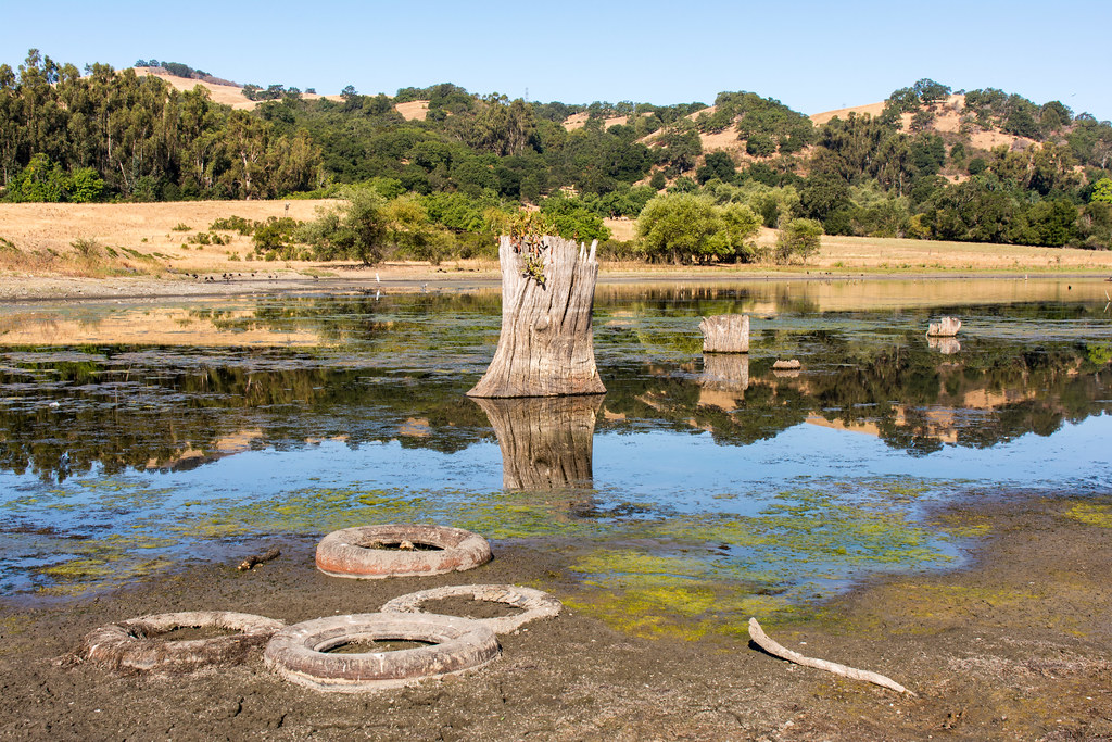 Dairy TrailHikingPhoto: donjd2, CC BY 2.0 (via Flickr)0.4 mi
- Washburn TrailHiking0.9 mi
- Edwards Loop TrailHiking0.9 mi
 Lower San Felipe TrailHikingPhoto: Ashwin Kumar, CC BY-SA 2.0 (via Flickr)1 mi
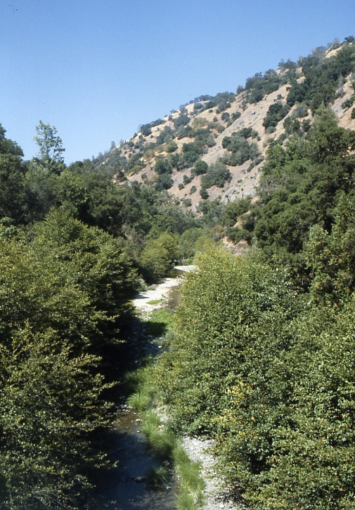 Arroyo HondoCanoeingPhoto: Robert A. Leidy PhD, US EPA, Public domain (via Wikimedia Commons)6.3 mi
 Coyote CreekCanoeingPhoto: Dicklyon, CC BY-SA 4.0 (via Wikimedia Commons)7.2 mi
- Guadalupe RiverCanoeing8.8 mi
- Calaveras CreekCanoeing9.8 mi
Source: Roamze catalog (indexable pages within 10 miles, PostGIS distance)
- Dairy TrailHiking · Next doorPhoto: donjd2, CC BY 2.0 (via Flickr)
 Los Huecos TrailHiking · ~2 min drivePhoto: btwashburn, CC BY 2.0 (via Flickr)
 San Felipe TrailHiking · ~5 min drivePhoto: regexman, CC BY 2.0 (via Flickr)
 Canada de Pala TrailHiking · ~6 min drivePhoto: edwardrooksSJ, CC BY-SA 2.0 (via Flickr)
- Lower San Felipe TrailHiking · ~2 min drivePhoto: Ashwin Kumar, CC BY-SA 2.0 (via Flickr)
- Brush TrailHiking · ~4 min drivePhoto: regexman, CC BY 2.0 (via Flickr)
- Dutch Flat TrailHiking · ~5 min drivePhoto: regexman, CC BY 2.0 (via Flickr)
- Washburn TrailHiking · ~2 min drive
- Barn TrailHiking · ~2 min drivePhoto: Ashwin Kumar, CC BY-SA 2.0 (via Flickr)
 Canada de Pala TrailHiking · ~5 min drivePhoto: denipet, CC BY 2.0 (via Flickr)
Also worth it near here
- Woodland Youth CampCamping · ~1 min drive
 Lower Calaveras Fault TrailMountain biking · ~8 min drivePhoto: Douglass Clem, CC BY-SA 3.0 (via Wikimedia Commons)
 Mount HamiltonSummit · ~8 min drivePhoto: No machine-readable author provided. Elf assumed (based on copyright claims)., CC BY-SA 3.0 (via Wikimedia Commons)
- Arroyo HondoCanoeing · ~11 min drivePhoto: Robert A. Leidy PhD, US EPA, Public domain (via Wikimedia Commons)
Map and trail data © OpenStreetMap contributors
