Loading…

Free — you'll pick up right here.
Watch this trail
Sign up to watch it — saving subscribes you to gate, closure and report changes.
California
21.2 mi
Distance
2,946 ft
Gain
We won't guess. Here is exactly what we do and don't know.
What we do know
Inside Sequoia National Forest
2 managing-area boundaries mapped — agency alerts for them feed this page automatically.
Boundary data
What's missing
No access route mapped
We don't yet know which road reaches this trailhead, so we can't tell you if it's gated.
Nobody's filed a report here yet — be the first.
Why you'll love it
Kanawyer
AI-suggested draft · review before you go
The Kanawyer Trail is a challenging 21.2-mile backcountry route offering substantial elevation gain through California's rugged terrain. This demanding trek rewards experienced hikers with remote wilderness experience and significant vertical relief, making it ideal for those seeking a multi-hour alpine adventure.
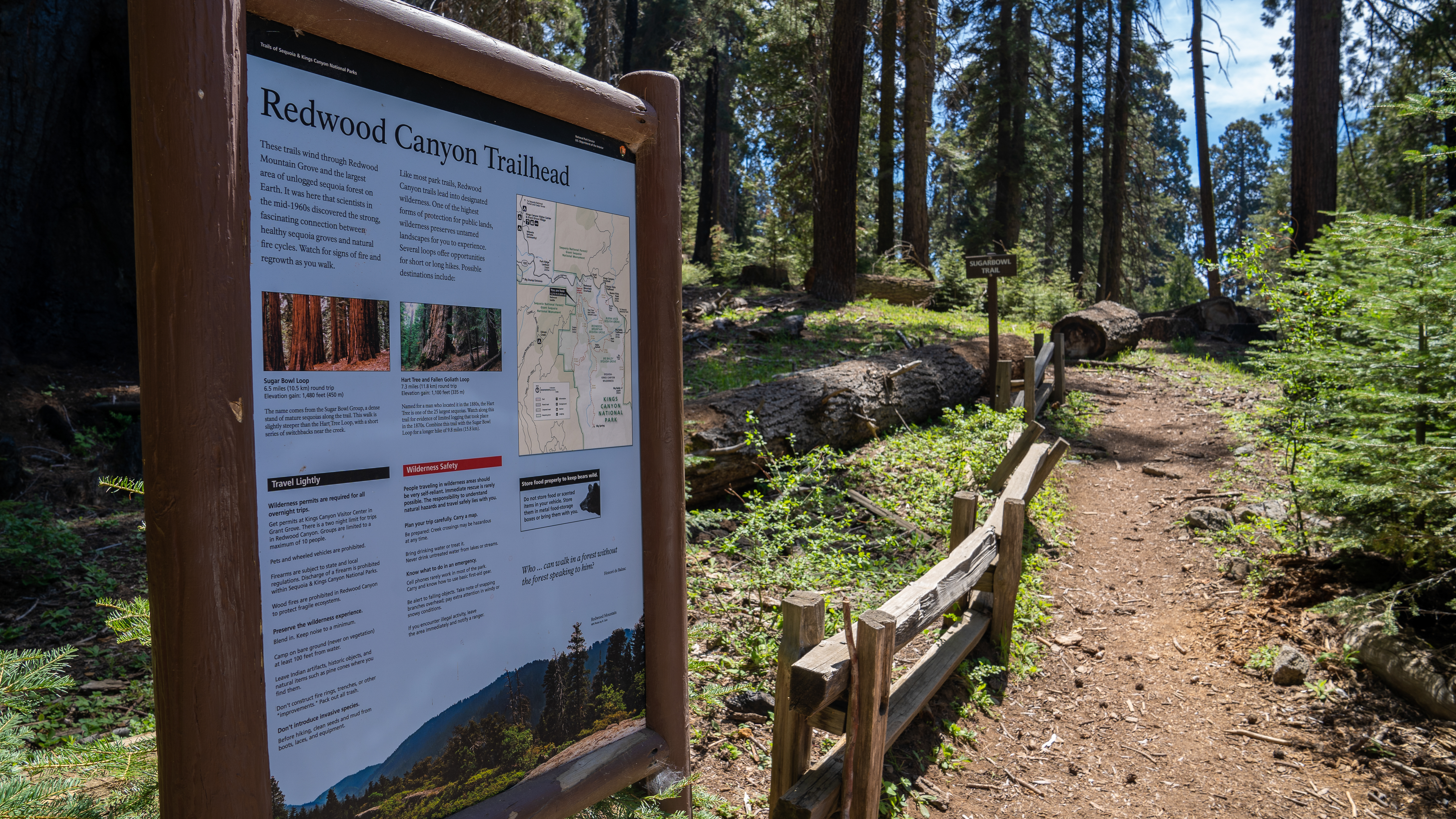
Redwood Canyon Trailhead
~11 min drive
<p><strong>Trail closed until further notice due to the KNP Complex Wildfire.</strong><br /> <br /> This trailhead orientation panel shows a map and images of the Redwood Mountain Trail area.<br /> <br /> The Redwood Mountain Trail is 9.5 mile loop (15 km) at a moderate inclin…
Evans Grove Loop
~2 min drive
Easy 2.17-mile loop through Evans Grove with 450 ft elevation gain.
Little Boulder Grove
~2 min drive
Moderate 3.4-mile hike featuring boulder-studded terrain and 810 ft elevation gain.
Jennie Lake
~7 min drive
Moderate Sierra alpine lake hike with steady elevation gain and scenic views.
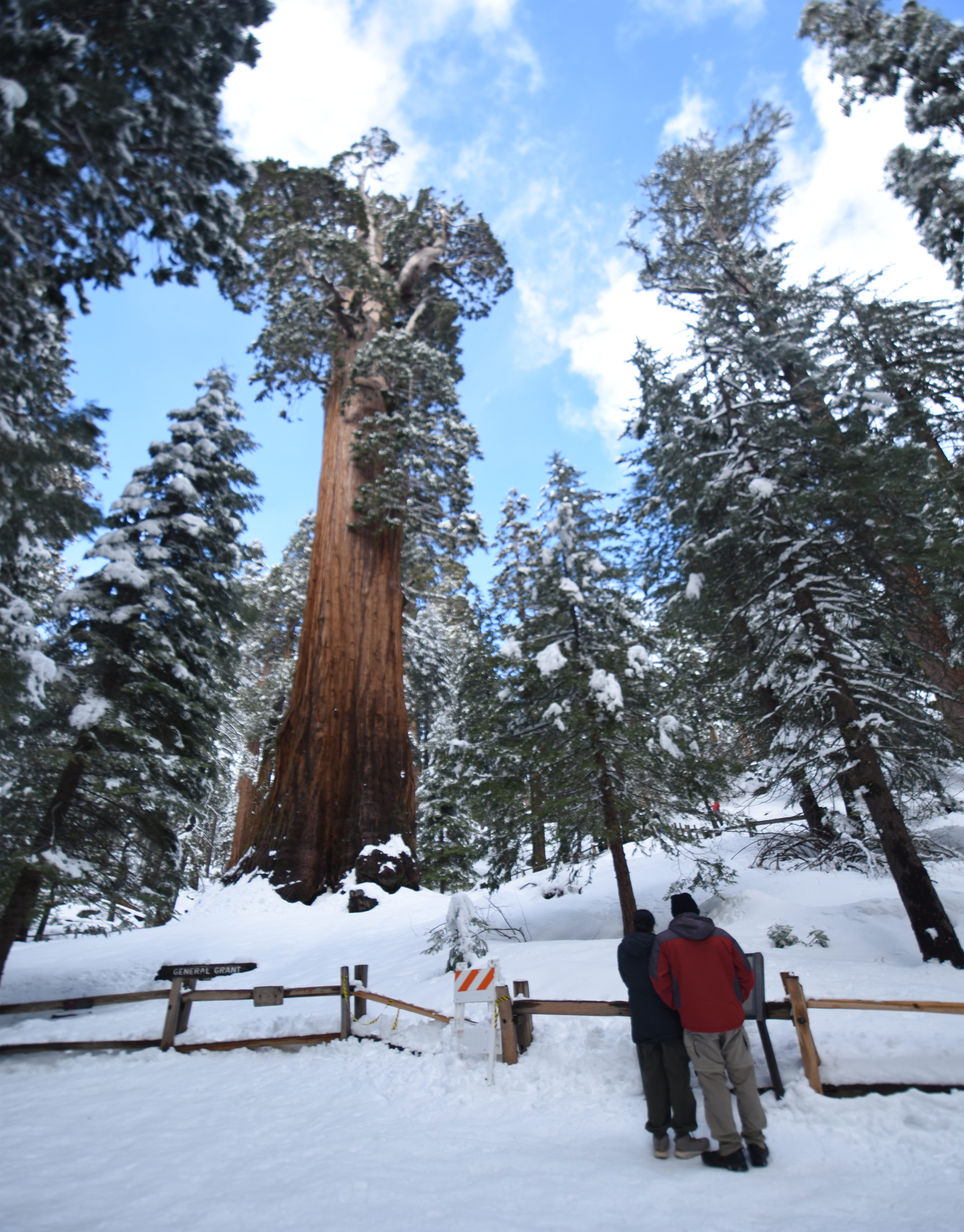
Winter Trails in the Grant Grove Area
~13 min drive
Trails in the Grant Grove area are often snowy and icy in the winter. But with the right gear and preparation, adventurous explorers can still take in the unique beauty of sequoias in the snow. Visitors can either hike on plowed trails, or cross-country ski and snowshoe on est…
Kanawyer Gap
~10 min drive
Steep 2.4-mile climb with 830 ft elevation gain near Kanawyer Gap.
Boulder
~5 min drive
Steep 3.89-mile hike with 1,549 ft gain near Boulder, California.
Stony Creek
~12 min drive
Moderate 7-mile creek trail with 2,500 ft elevation gain.
North Grove Loop and Dead Giant Loop Trailhead
~14 min drive
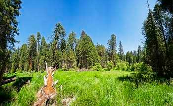
<p>The North Grove Trail is an initial loop through sequoias and meadows. After the North Grove Trail, you can continue to the Dead Giant Trail loop. This trail offers views of Sequoia Lake and the Dead Giant, a huge sequoia that stayed standing even after it died. Combined, t…
Marvin Pass
~10 min drive
Short alpine pass hike with gentle elevation gain and accessible terrain.