Silver Creek Cg
Campground
Campground · 2.5 mi from the trail
Alert in the area
The Forest Service lists an alert for Tahoe National Forest.
Camping and Campfire Restrictions-Truckee and Sierraville Districts
Agency alert covering Tahoe National Forest · Order 17-25-05 · USFS · Tahoe National Forest
As of · Source: USFS · Tahoe National Forest. Agencies don't list every closure — check before you go.
Granite Chief is a moderate out-and-back hike of about 6 miles in the Truckee Ranger District of Tahoe National Forest in California. The trail rises from a low point of about 6,217 feet to a high of about 8,175 feet, a climb of roughly 1,954 feet one way. The route is on natural surface and allows both horses and bikes, according to the USDA Forest Service's trail records. It stays open year-round, so it works for a visit in any season. The trail is close to other destinations. Shirley Canyon Trail starts just 0.2 miles away, and the Western States Trail passes within a mile. Climbers can head to Shirley Canyon Cliffs, about 1.2 miles off, and Silver Creek Campground is about 2.5 miles away.
Silver Creek Cg
Campground
Places © OpenStreetMap contributors, Places © Overture Maps Foundation
More in Sunnyside-Tahoe CityNot on Roamze yet. Their page has how to reach them.
 Western States TrailHikingPhoto: Ken Lund, CC BY-SA 2.0 (via Flickr)0.9 mi
 Shirley Canyon CliffsRock climbingPhoto: Ken Lund, CC BY-SA 2.0 (via Flickr)1.2 mi
 Center WallRock climbingPhoto: Ken Lund, CC BY-SA 2.0 (via Flickr)1.5 mi
 Silver Creek CgCampingPhoto: Rojer — CC BY 2.0 (via Flickr)2.5 mi
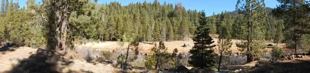 Silver Creek-TruckeeCampingPhoto: Recreation.gov (RIDB) / public domain2.5 mi
Source: Roamze catalog (indexable pages within 10 miles, PostGIS distance)
Western States TrailHiking · ~2 min drivePhoto: Ken Lund, CC BY-SA 2.0 (via Flickr) Western States TrailHiking · ~2 min drivePhoto: Squaw Valley Lodge, CC BY-SA 2.0 (via Wikimedia Commons)Thunder MountainHiking · ~2 min drivePhoto: Ken Lund, CC BY-SA 2.0 (via Flickr)
 Pacific Crest National Scenic Trail #2000Hiking · ~7 min drivePhoto: Tim Berger, CC BY 2.0 (via Wikimedia Commons)
 POLE CREEK NORDICHiking · ~5 min drivePhoto: mangtronix, CC BY-SA 2.0 (via Flickr)
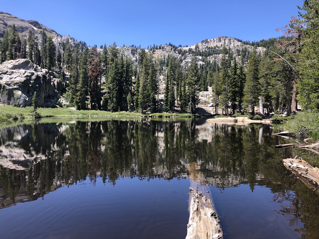 Shirley Lake TrailHiking · ~3 min drivePhoto: Ken Lund, CC BY-SA 2.0 (via Flickr)
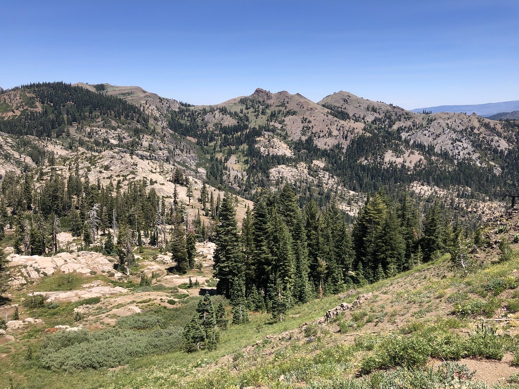 Western States TrailHiking · ~4 min drivePhoto: Ken Lund, CC BY-SA 2.0 (via Flickr)
 Historic Western States TrailHiking · ~5 min drivePhoto: schvin, CC BY 2.0 (via Flickr)Tevis Cup TrailHiking · ~4 min drivePhoto: Ken Lund, CC BY-SA 2.0 (via Flickr)
 Scott Peak TrailHiking · ~5 min drivePhoto: r0wb0t, CC BY-SA 2.0 (via Flickr)
