Glacier Meadow Loop
- 0.5 mi
- loop
- 21 ft
- climb
- 7,251 ft
- high point
- Loop
- route
- Jun–Aug
- best months
Is Glacier Meadow Loop open right now?
Alert in the area
The Forest Service lists an alert for Tahoe National Forest.
Camping and Campfire Restrictions-Truckee and Sierraville Districts
Agency alert covering Tahoe National Forest · Order 17-25-05 · USFS · Tahoe National Forest
As of · Source: USFS · Tahoe National Forest. Agencies don't list every closure — check before you go.
Glacier Meadow Loop is a short, easy loop hike in the Truckee Ranger District of Tahoe National Forest in California, managed by the Forest Service. The trail is about half a mile long, with a total elevation gain of just 21 feet, so it's a gentle outing that works well as a quick stop or a warm-up before heading to other spots in the area. The trail is a loop, and it's rated easy. It's a natural-surface route, and both bikes and horses are allowed, which makes it a flexible option for riders and pack animals. Summer is the most comfortable time to go. Typical averages from the Sagehen Creek weather station, about 8 miles away, show July highs around 80°F with lows near 37°F, while winter highs stay in the low 40s. Summit Lake and the Rest Stop Cliffs climbing area are each about 0.3 miles away, and the Pacific Crest National Scenic Trail #2000 passes within about 0.4 miles. Milton Reservoir, about 2 miles off, offers fishing.
Best time to go · Jun–Aug
Best time to visit Glacier Meadow Loop
Best months: June–August. Best months have typical highs of 55–85 °F, lows of 30 °F or warmer (32 °F where the station doesn't record snow), at most one snowy day and no more than 12 wet days.
Jan
40° / 15°
Feb
41° / 15°
Mar
48° / 19°
Apr
53° / 22°
May
62° / 28°
Jun
72° / 32°
Jul
80° / 37°
Aug
79° / 35°
Sep
73° / 31°
Oct
61° / 24°
Nov
49° / 20°
Dec
39° / 14°
Typical high / low (°F) and days with rain or snow, 1991–2020. Measured at Sagehen Creek, CA, 8.3 mi away at 6,337 ft. The station sits about 900 ft lower than this place, so expect it a little cooler here. This station doesn't record snowfall. Source: NOAA NCEI U.S. Climate Normals 1991–2020.
Keep exploring — more trails worth the drive
 Photo: ray_explores, CC BY 2.0 (via Flickr)
Summit Lake
Next door
3-mile out-and-back trail to Summit Lake in California with 402 ft of elevation gain.
Photo: ray_explores, CC BY 2.0 (via Flickr)Pacific Crest National Scenic Trail #2000
Next door
3.02-mile out-and-back on the Pacific Crest National Scenic Trail in California
Photo: ray_explores, CC BY 2.0 (via Flickr)Donner Lake Rim Trail
~2 min drive
24.92-mile out-and-back trail with 1,300 ft gain around Donner Lake in California
 Photo: ilya_ktsn, CC BY 2.0 (via Flickr)
Pacific Crest National Scenic Trail #2000
~8 min drive
46.34-mile out-and-back trail on the Pacific Crest National Scenic Trail in California with 7,335 ft gain/loss.
 Photo: On^ste82, CC BY 3.0 (via Wikimedia Commons)
WARREN LAKE
~2 min drive
6.06-mile out-and-back trail in California with 2,324 ft elevation gain and loss.
Photo: On^ste82, CC BY 3.0 (via Wikimedia Commons)Donner Summit Lakes Trail
~2 min drive
3.24-mile out-and-back hike in California with 518 ft elevation gain.
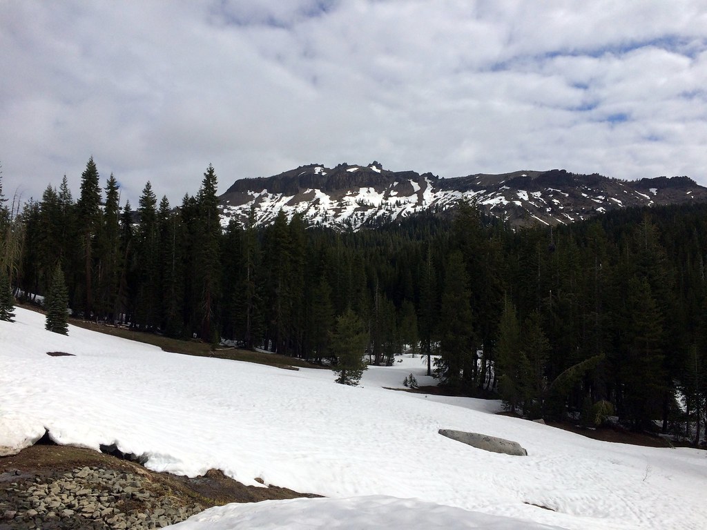 Photo: scorpio-tiger, CC BY-SA 2.0 (via Flickr)
Hole in the Ground
~2 min drive
16.58-mile out-and-back trail in California with 1,132 ft gain.
Photo: ray_explores, CC BY 2.0 (via Flickr)Pacific Crest Trail
~2 min drive
2.4-mile out-and-back trail on the Pacific Crest Trail in California with 1,037 ft gain/loss.
 Photo: Mrmariokartguy, CC BY 3.0 (via Wikimedia Commons)
Hutchinson Loop
~2 min drive
0.82-mile out-and-back trail in California with 344 ft gain.
 Photo: scorpio-tiger, CC BY-SA 2.0 (via Flickr)
Warren Lake
~4 min drive
6-mile out-and-back trail with 1,123 ft gain at Warren Lake, California


