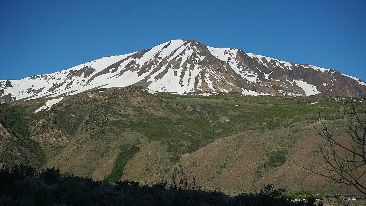
Silver Lake Campground June Lake (CA)
Campground
Campground · 1.9 mi from the trail
Caution at last check
Agency alerts are in effect for this area; weather is good · USFS, OpenWeather · checked 19 h ago
Alert in the area
The Forest Service lists 3 alerts for Inyo National Forest.
Help Halt Golden Mussel Invasion
Agency alert covering Inyo National Forest · USFS · Inyo National Forest
Ansel Adams and John Muir Wilderness Campfire Restrictions
Agency alert covering Inyo National Forest · Order 05-04-50-25-04 · USFS · Inyo National Forest
Golden Trout and Hoover Wilderness Campfire Restrictions
Agency alert covering Inyo National Forest · Order 05-04-50-25-05 · USFS · Inyo National Forest
As of · Source: USFS · Inyo National Forest. Agencies don't list every closure — check before you go.
Gem Pass Snow Bypass is an easy, short out-and-back hike of about 0.7 miles, with a one-way climb of 147 feet, in California's Ansel Adams Wilderness. The trail lies within the Mono Lake Ranger District of Inyo National Forest, and the Forest Service manages the land. The route is a low-effort bypass between two points, with the high point at about 10,478 feet and the low point at about 10,304 feet. Horses are allowed, and the trail surface is natural. It is not accessible. The trail is open year-round. For a longer outing, Rush Creek is about 1.2 miles away, and Clark Lakes Trail is about 1.7 miles off. Climbers can head to 9-Secor, about 1.7 miles away, and Silver Lake Campground is about 1.9 miles away.
Silver Lake Campground June Lake (CA)
Campground
Eagle’s Landing Restaurant
Restaurant
 If it rainsEeekster, CC BY 3.0 · Wikimedia Commons
Sierra Point
Viewpoint
Point in Yosemite National Park at the eastern end of the valley
Places © OpenStreetMap contributors · Photos: Eeekster, CC BY 3.0 (commons)
More in Mammoth LakesNot on Roamze yet. Their page has how to reach them.
 RUSH CREEKHikingPhoto: ilya_ktsn, CC BY 2.0 (via Flickr)1.2 mi
 Clark Lakes TrailHikingPhoto: DavetheMage, CC BY-SA 3.0 (via Wikimedia Commons)1.7 mi
 9-SecorRock climbingPhoto: jfdervin, CC BY-SA 2.0 (via Flickr)1.7 mi8-MoynierRock climbingPhoto: jfdervin, CC BY-SA 2.0 (via Flickr)1.7 mi
 Clark LakesHikingPhoto: Hike395 (talk · contribs), CC BY 3.0 (via Wikimedia Commons)1.8 mi
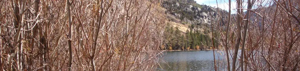 Silver Lake Campground June Lake (CA)CampingPhoto: Recreation.gov (RIDB) / public domain1.9 mi
 Silver Lake CampgroundCampingPhoto: docentjoyce — CC BY 2.0 (via Flickr)1.9 mi
Source: Roamze catalog (indexable pages within 10 miles, PostGIS distance)
RUSH CREEKHiking · ~2 min drivePhoto: ilya_ktsn, CC BY 2.0 (via Flickr)Clark Lakes TrailHiking · ~3 min drivePhoto: DavetheMage, CC BY-SA 3.0 (via Wikimedia Commons) Yost Creek TrailHiking · ~5 min drivePhoto: GSEC, CC BY 2.0 (via Flickr)
 Alger Lakes TrailHiking · ~6 min drivePhoto: Jesse Wagstaff, CC BY 2.0 (via Flickr)Clark LakesHiking · ~3 min drivePhoto: Hike395 (talk · contribs), CC BY 3.0 (via Wikimedia Commons)YOST MEADOW LOOPHiking · ~5 min drivePhoto: DavetheMage, CC BY-SA 3.0 (via Wikimedia Commons)
 Garnet Lake to Emerald LakeHiking · ~7 min drivePhoto: mjhbower, CC BY-SA 2.0 (via Flickr)
 Pacific Crest Trail/John Muir TrailHiking · ~6 min drivePhoto: dret, CC BY-SA 2.0 (via Flickr)Rush CreekHiking · ~3 min drivePhoto: docentjoyce, CC BY 2.0 (via Flickr)
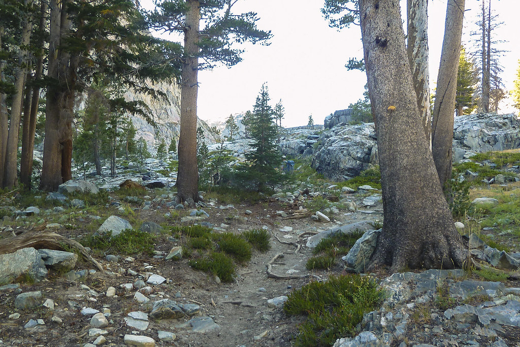 CLARK LAKESHiking · ~6 min drivePhoto: mjhbower, CC BY-SA 2.0 (via Flickr)