Silver Lake Campground June Lake (CA)
Campground
Campground · < 0.1 mi from the trail
 Photo: docentjoyce, CC BY 2.0 (via Flickr)
Alert in the area
The Forest Service lists 3 alerts for Inyo National Forest.
Help Halt Golden Mussel Invasion
Agency alert covering Inyo National Forest · USFS · Inyo National Forest
Ansel Adams and John Muir Wilderness Campfire Restrictions
Agency alert covering Inyo National Forest · Order 05-04-50-25-04 · USFS · Inyo National Forest
Golden Trout and Hoover Wilderness Campfire Restrictions
Agency alert covering Inyo National Forest · Order 05-04-50-25-05 · USFS · Inyo National Forest
As of · Source: USFS · Inyo National Forest. Agencies don't list every closure — check before you go.
Rush Creek is an easy out-and-back hike in the Mono Lake Ranger District of Inyo National Forest, about 2.9 miles from the town of June Lake, California. The trail is 1.8 miles long, with a one-way climb of 368 feet from a low point of 7,245 feet to a high of 7,625 feet. Summer is the most comfortable time to go. Typical averages from a nearby weather station at Mammoth Lakes show July highs around 78°F with lows near 49°F, while winter highs sit around 41°F. Silver Lake Campground is just 0.1 mile away, and the Lower Rush Creek Loop is 0.4 mile off. Climbers can find the 9-Secor and 7-Lewis areas within a mile.
Silver Lake Campground June Lake (CA)
Campground
Eagle’s Landing Restaurant
Restaurant
 If it rainsEeekster, CC BY 3.0 · Wikimedia Commons
Sierra Point
Viewpoint
Point in Yosemite National Park at the eastern end of the valley
Places © OpenStreetMap contributors · Photos: Eeekster, CC BY 3.0 (commons)
More in Mammoth LakesNot on Roamze yet. Their page has how to reach them.
Best months: May–September. Best months have typical highs of 55–85 °F, lows of 30 °F or warmer (32 °F where the station doesn't record snow), at most one snowy day and no more than 12 wet days.
Jan
41° / 17°
Feb
41° / 18°
Mar
45° / 22°
Apr
51° / 27°
May
60° / 35°
Jun
70° / 42°
Jul
78° / 49°
Aug
77° / 47°
Sep
71° / 40°
Oct
61° / 30°
Nov
49° / 23°
Dec
41° / 17°
Typical high / low (°F) and days with rain or snow, 1991–2020. Measured at Mammoth Lakes Rs, CA, 13.1 mi away at 7,804 ft. This station doesn't record snowfall. Source: NOAA NCEI U.S. Climate Normals 1991–2020.
 Photo: daveynin, CC BY 2.0 (via Flickr)
Lower Rush Creek Loop
Next door
3.04-mile out-and-back trail in California with 768 ft elevation gain and loss.
 Photo: GSEC, CC BY 2.0 (via Flickr)
Yost Creek Trail
~3 min drive
9.02-mile out-and-back trail in California with 2,951 ft gain/loss and 9,299 ft max elevation.
 Photo: DavetheMage, CC BY-SA 3.0 (via Wikimedia Commons)
YOST MEADOW LOOP
~3 min drive
2.88-mile out-and-back out-and-back in California with 1,954 ft elevation gain
 Photo: Jesse Wagstaff, CC BY 2.0 (via Flickr)
Alger Lakes Trail
~7 min drive
13.26-mile out-and-back hike in California with 3,984 ft gain/loss.
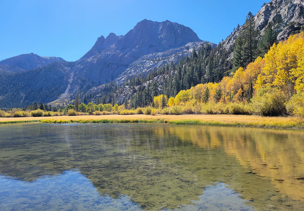 Photo: Moo.The.Cow, CC BY 2.0 (via Flickr)
Silver Lake Horse Trail
~2 min drive
2.24-mile out-and-back trail in California with 818 ft gain and 7,346 ft max elevation.
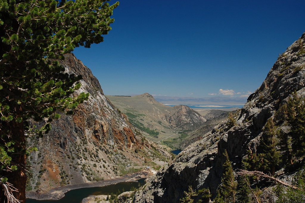 Photo: ilya_ktsn, CC BY 2.0 (via Flickr)
Spooky Meadow Trail
~6 min drive
7.46-mile out-and-back trail in California with 3,010 ft elevation gain and loss.
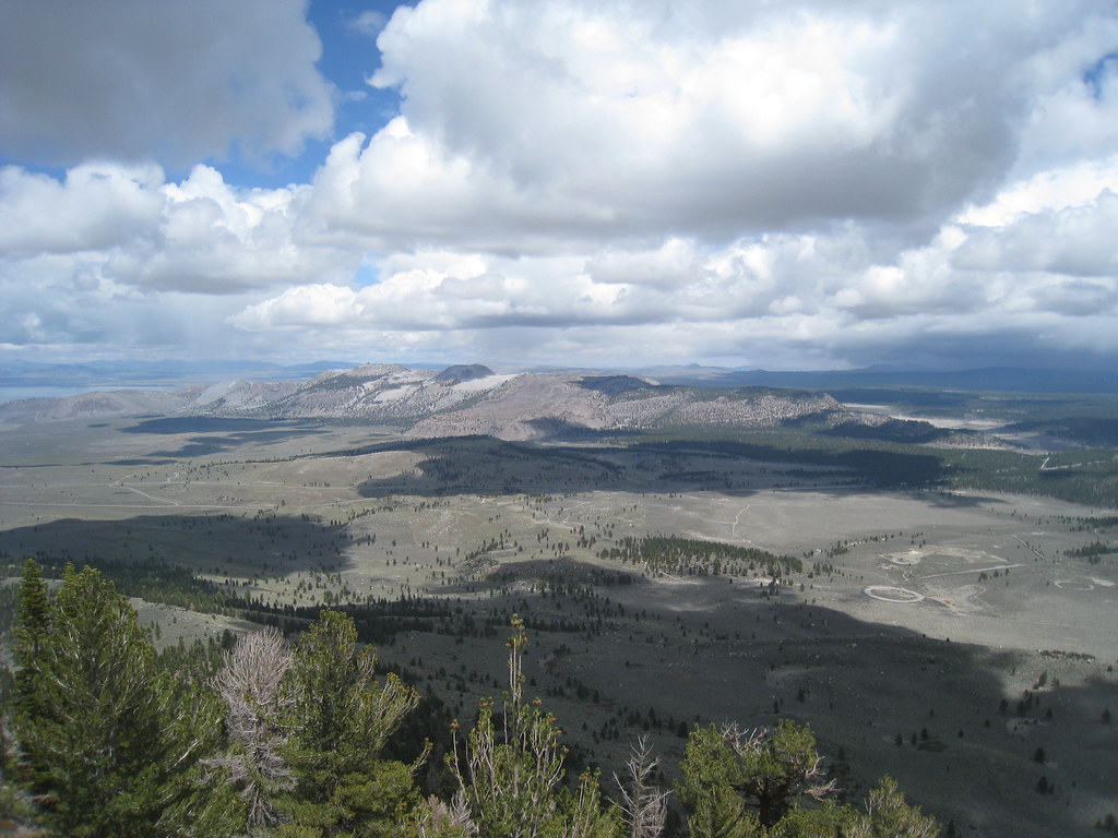 Photo: GSEC, CC BY 2.0 (via Flickr)
Reversed Peak Trail
~4 min drive
2.7-mile out-and-back hike in California with 1,235 ft elevation gain and loss.
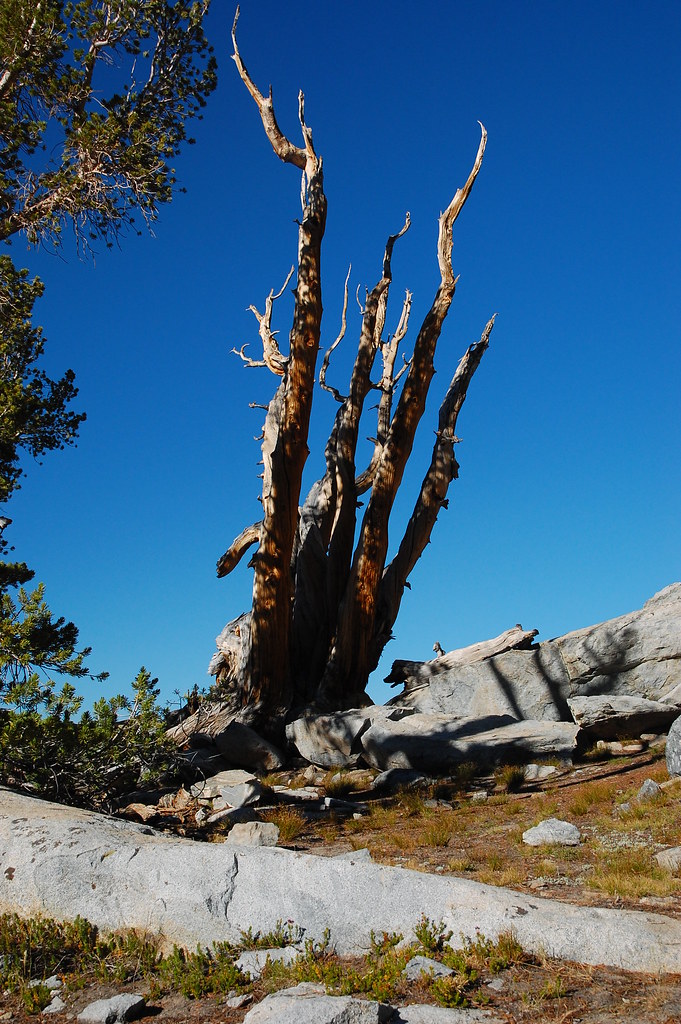 Photo: ilya_ktsn, CC BY 2.0 (via Flickr)
Rush Creek Trail
~9 min drive
15.28-mile out-and-back trail in California with 4,141 ft elevation gain
Photo: DavetheMage, CC BY-SA 3.0 (via Wikimedia Commons)Fern Lake Trail
~4 min drive
1.38-mile out-and-back hike in California with 707 ft gain and 8,892 ft max elevation.
 Photo: Perfect Zero, CC BY 2.0 (via Flickr)
Parker Bench Trail
~7 min drive
9.9-mile out-and-back trail in California with 3,477 ft elevation gain and loss.


