Foundation Trail 04W41
- 0.6 mi
- round trip
- 202 ft
- climb
- 4,101 ft
- high point
- Out and back
- route
- Apr–Oct
- best months
Is Foundation Trail 04W41 open right now?
Closure in the area
There's a closure order in Shasta-Trinity National Forest. It doesn't name Foundation Trail 04W41, so check the source for the area it covers (2 listed).
Mud and Ash Creek Area and Road Closure
Agency closure covering Shasta-Trinity National Forest · Order 14-26-13 · USFS · Shasta-Trinity National Forest
Road Closure on Wild Mad Road
Agency closure covering Shasta-Trinity National Forest · Order 14-25-09 · USFS · Shasta-Trinity National Forest
Trout Creek Bridge Closure Order
Agency alert covering Shasta-Trinity National Forest · Order 14-26-02 · USFS · Shasta-Trinity National Forest
South Fork Suspension Bridge Closure
Agency alert covering Shasta-Trinity National Forest · Order 14-25-30 · USFS · Shasta-Trinity National Forest
Ah-Di-Na Area Closure
Agency alert covering Shasta-Trinity National Forest · Order 14-25-10 · USFS · Shasta-Trinity National Forest
As of · Source: USFS · Shasta-Trinity National Forest. Agencies don't list every closure — check before you go.
Foundation Trail 04W41 is a short, easy out-and-back hike in the Mt. Shasta Ranger District of Shasta-Trinity National Forest in California, managed by the Forest Service. The trail is about 1.1 miles long, with a total elevation gain of 202 feet, and it starts and ends at roughly 4,027 feet. The climb is front-loaded, with the steepest stretch at about 0.28 miles in, and the high point reaches about 4,101 feet. The most comfortable months for a visit are typically late spring and early fall. Typical averages from a nearby weather station at Mt. Shasta show May highs around 68°F and September highs around 78°F, with only a few wet days in each. That station sits about 488 feet lower than the trail, so temperatures on the trail run a little cooler. The hike takes about half an hour to complete. Sisson's and Lollipop are both within a third of a mile, and Mcbride Springs Campground is about 1.5 miles away. Byron's Boulder, a climbing area, is about 1.6 miles off.
 Sisson'sHikingPhoto: Misshaleyrobinson, CC BY-SA 4.0 (via Wikimedia Commons)0.1 mi
- LollipopHikingPhoto: Misshaleyrobinson, CC BY-SA 4.0 (via Wikimedia Commons)0.3 mi
- Mcbride Springs Cg-FCamping1.5 mi
- Byron’s BoulderRock climbing1.6 mi
- Mount ShastaMountaineering3.3 mi
- Wagon CreekCanoeing3.7 mi
 Sacramento RiverCanoeingPhoto: David Monniaux, CC BY-SA 3.0 (via Wikimedia Commons)5.2 mi
- Panther Meadows CgCamping5.4 mi
Source: Roamze catalog (indexable pages within 10 miles, PostGIS distance)
- Sisson'sHiking · Next doorPhoto: Misshaleyrobinson, CC BY-SA 4.0 (via Wikimedia Commons)
- GatewayHiking · Next doorPhoto: Misshaleyrobinson, CC BY-SA 4.0 (via Wikimedia Commons)
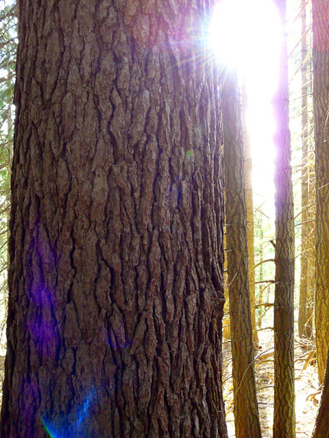 Sisson's TrailHiking · ~3 min drivePhoto: deanetr, CC BY 2.0 (via Flickr)
- Rainbow Ridge TrailHiking · ~7 min drive
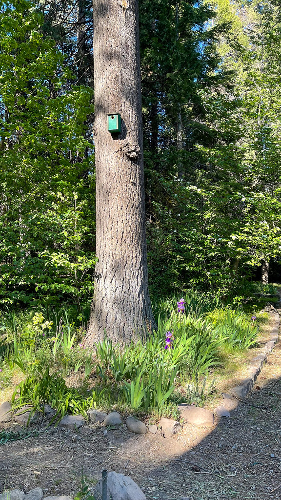 Lemurian DeliriumHiking · Next doorPhoto: JingKe888, CC BY 2.0 (via Flickr)
- Muirs AscensionHiking · ~3 min drivePhoto: deanetr, CC BY 2.0 (via Flickr)
 Elsa Rupp TrailHiking · ~4 min drivePhoto: Ken Lund, CC BY-SA 2.0 (via Flickr)
- Sisson's TrailHiking · ~5 min drivePhoto: deanetr, CC BY 2.0 (via Flickr)
- Bear SpringsHiking · ~5 min drive
 Lake Siskiyou Trail - Chalet Trail LoopHiking · ~6 min drivePhoto: gentlesmaps, CC BY 3.0 (via Wikimedia Commons)
Best time to visit Foundation Trail 04W41
Best months: April–October. Best months have typical highs of 55–85 °F, lows of 30 °F or warmer (32 °F where the station doesn't record snow), at most one snowy day and no more than 12 wet days.
Jan
44° / 27°
13 wet
Feb
48° / 28°
12 wet
Mar
53° / 31°
13 wet
Apr
59° / 34°
11 wet
May
68° / 40°
9 wet
Jun
76° / 46°
5 wet
Jul
85° / 51°
2 wet
Aug
84° / 49°
2 wet
Sep
78° / 44°
3 wet
Oct
64° / 38°
6 wet
Nov
50° / 31°
11 wet
Dec
43° / 27°
13 wet
Typical high / low (°F) and days with rain or snow, 1991–2020. Measured at Mt Shasta, CA, 1.3 mi away at 3,613 ft. This station doesn't record snowfall. Source: NOAA NCEI U.S. Climate Normals 1991–2020.

Map and trail data © OpenStreetMap contributors
