Mcbride Springs Cg-F
- from $10
- fee
- Apr–Oct
- best months
Is Mcbride Springs Cg-F open right now?
Closure in the area
There's a closure order in Shasta-Trinity National Forest. It doesn't name Mcbride Springs Cg-F, so check the source for the area it covers (2 listed).
Mud and Ash Creek Area and Road Closure
Agency closure covering Shasta-Trinity National Forest · Order 14-26-13 · USFS · Shasta-Trinity National Forest
Road Closure on Wild Mad Road
Agency closure covering Shasta-Trinity National Forest · Order 14-25-09 · USFS · Shasta-Trinity National Forest
Trout Creek Bridge Closure Order
Agency alert covering Shasta-Trinity National Forest · Order 14-26-02 · USFS · Shasta-Trinity National Forest
South Fork Suspension Bridge Closure
Agency alert covering Shasta-Trinity National Forest · Order 14-25-30 · USFS · Shasta-Trinity National Forest
Ah-Di-Na Area Closure
Agency alert covering Shasta-Trinity National Forest · Order 14-25-10 · USFS · Shasta-Trinity National Forest
As of · Source: USFS · Shasta-Trinity National Forest. Agencies don't list every closure — check before you go.
- At 5,000 ft
- Mt. Shasta Ranger DistrictShasta-Trinity National Forest
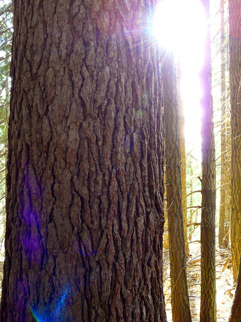
Situated on the lower slopes of Mt. Shasta at an elevation of 5000 feet, this popular campground has 12 sites with tables and fire rings, suitable for tents and small RV's. It has vault toilets and a 7 day stay limit. It usually opens by Memorial Day weekend and closes near the end of October. Conveniently located on Mt. Shasta and only a few minutes from I-5, services and supplies. A miniature spring-fed seasonal creek flows through the campground, and a hand operated pump provides well water.
 Sisson's TrailHikingPhoto: deanetr, CC BY 2.0 (via Flickr)0.1 mi
- Byron’s BoulderRock climbing0.6 mi
- Strawberry ValleyHiking1 mi
- Mount ShastaMountaineering1.9 mi
- Panther Meadows CgCamping4.2 mi
- Wagon CreekCanoeing5.1 mi
 Sacramento RiverCanoeingPhoto: David Monniaux, CC BY-SA 3.0 (via Wikimedia Commons)6.6 mi
- Castle Lake CampgroundCamping9.5 mi
Source: Roamze catalog (indexable pages within 10 miles, PostGIS distance)
- Camp 4 Group CampgroundCamping · ~30 min drive
- McBride Springs CampgroundCamping · Next door
- Red Fir Flat Group CampgroundCamping · ~3 min drive
- Bunny Flat Trailhead campingCamping · ~4 min drive
- Mt. Shasta City KOACamping · ~5 min drive
- Panther Meadows CgCamping · ~7 min drive
- Friendly RV ParkCamping · ~10 min drive
- Lake Siskiyou camp resortCamping · ~10 min drive
- Trailer Lane RV ParkCamping · ~15 min drive
- Castle Lake Cg-FCamping · ~16 min drive
Best time to visit Mcbride Springs Cg-F
Best months: April–October. Best months have typical highs of 55–85 °F, lows of 30 °F or warmer (32 °F where the station doesn't record snow), at most one snowy day and no more than 12 wet days.
Jan
44° / 27°
13 wet
Feb
48° / 28°
12 wet
Mar
53° / 31°
13 wet
Apr
59° / 34°
11 wet
May
68° / 40°
9 wet
Jun
76° / 46°
5 wet
Jul
85° / 51°
2 wet
Aug
84° / 49°
2 wet
Sep
78° / 44°
3 wet
Oct
64° / 38°
6 wet
Nov
50° / 31°
11 wet
Dec
43° / 27°
13 wet
Typical high / low (°F) and days with rain or snow, 1991–2020. Measured at Mt Shasta, CA, 2.8 mi away at 3,613 ft. The station sits about 1,400 ft lower than this place, so expect it a little cooler here. This station doesn't record snowfall. Source: NOAA NCEI U.S. Climate Normals 1991–2020.
