Lollipop
 Photo: Misshaleyrobinson, CC BY-SA 4.0 (via Wikimedia Commons)
- 1.2 mi
- round trip
- 71 ft
- climb
- 4,011 ft
- high point
- Out and back
- route
- Apr–Oct
- best months
Is Lollipop open right now?
Closure in the area
There's a closure order in Shasta-Trinity National Forest. It doesn't name Lollipop, so check the source for the area it covers (2 listed).
Mud and Ash Creek Area and Road Closure
Agency closure covering Shasta-Trinity National Forest · Order 14-26-13 · USFS · Shasta-Trinity National Forest
Road Closure on Wild Mad Road
Agency closure covering Shasta-Trinity National Forest · Order 14-25-09 · USFS · Shasta-Trinity National Forest
Bailey Cove Road Closure Order
Agency alert covering Shasta-Trinity National Forest · Order 14-25-11 · USFS · Shasta-Trinity National Forest
Trout Creek Bridge Closure Order
Agency alert covering Shasta-Trinity National Forest · Order 14-26-02 · USFS · Shasta-Trinity National Forest
South Fork Suspension Bridge Closure
Agency alert covering Shasta-Trinity National Forest · Order 14-25-30 · USFS · Shasta-Trinity National Forest
As of · Source: USFS · Shasta-Trinity National Forest. Agencies don't list every closure — check before you go.
Lollipop is a short, easy hike in the Mt. Shasta Ranger District of Shasta-Trinity National Forest in California, about 1.2 miles long with a total elevation gain of 71 feet. The trail is an out-and-back, and the high point is about 4,011 feet, with the low point at about 3,928 feet. The trail is accessible and is surfaced with gravel. Bikes are allowed, and the Forest Service lists it as accessible. Summer is the most comfortable time to go. Typical averages from a nearby weather station at Mt. Shasta show July highs around 85°F with only about two wet days, while winter months bring highs in the low 40s and rain on roughly 13 days. The trail sits close to two other hikes, Gateway and Lemurian Delirium, both about 0.1 mile away. McBride Springs Campground and Byron's Boulder are both about 1.9 miles off.
Best time to go · Apr–Oct
Best time to visit Lollipop
Best months: April–October. Best months have typical highs of 55–85 °F, lows of 30 °F or warmer (32 °F where the station doesn't record snow), at most one snowy day and no more than 12 wet days.
Jan
44° / 27°
13 wet
Feb
48° / 28°
12 wet
Mar
53° / 31°
13 wet
Apr
59° / 34°
11 wet
May
68° / 40°
9 wet
Jun
76° / 46°
5 wet
Jul
85° / 51°
2 wet
Aug
84° / 49°
2 wet
Sep
78° / 44°
3 wet
Oct
64° / 38°
6 wet
Nov
50° / 31°
11 wet
Dec
43° / 27°
13 wet
Typical high / low (°F) and days with rain or snow, 1991–2020. Measured at Mt Shasta, CA, 1 mi away at 3,613 ft. This station doesn't record snowfall. Source: NOAA NCEI U.S. Climate Normals 1991–2020.
Keep exploring — more trails worth the drive
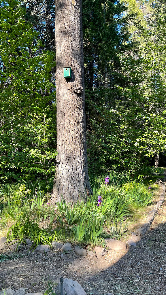 Photo: JingKe888, CC BY 2.0 (via Flickr)
Lemurian Delirium
Next door
3.40-mile out-and-back trail in California with 765 ft elevation gain.
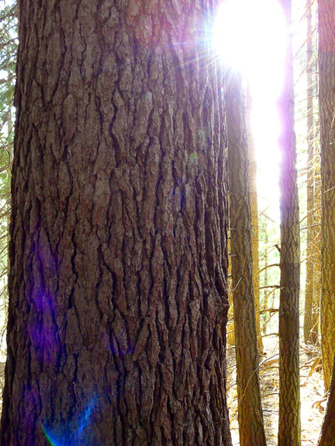 Photo: deanetr, CC BY 2.0 (via Flickr)
Sisson's Trail
~3 min drive
1.7-mile out-and-back trail in California with 711 ft elevation gain.
Photo: deanetr, CC BY 2.0 (via Flickr)Muirs Ascension
~3 min drive
Moderate 6.37-mile climb with 1,503 ft elevation gain.
HIKE
Rainbow Ridge Trail
~6 min drive
11.7-mile out-and-back hike in California with 3,079 ft elevation gain and loss.
Photo: Misshaleyrobinson, CC BY-SA 4.0 (via Wikimedia Commons)Sisson's
Next door
3.50-mile out-and-back trail in California with 845 ft gain.
 Photo: Ken Lund, CC BY-SA 2.0 (via Flickr)
Elsa Rupp Trail
~4 min drive
0.82-mile out-and-back trail in California with 114 ft elevation gain
HIKE
Bear Springs
~5 min drive
Remote 20-mile backcountry trek with 2,576 ft gain through California wilderness.
Photo: deanetr, CC BY 2.0 (via Flickr)Sisson's Trail
~5 min drive
2.5-mile out-and-back trail in California with 1,247 ft elevation gain
 Photo: gentlesmaps, CC BY 3.0 (via Wikimedia Commons)
Lake Siskiyou Trail - Chalet Trail Loop
~6 min drive
1.12-mile out-and-back trail at Lake Siskiyou with 721 ft elevation gain
 Photo: wikiphotographer, CC BY-SA 2.0 (via Flickr)
Sand Flat-Horse Camp Trail (Sisson's Trail)
~6 min drive
1.72-mile out-and-back trail in California with 774 ft elevation gain.

