Fiske Creek Trail
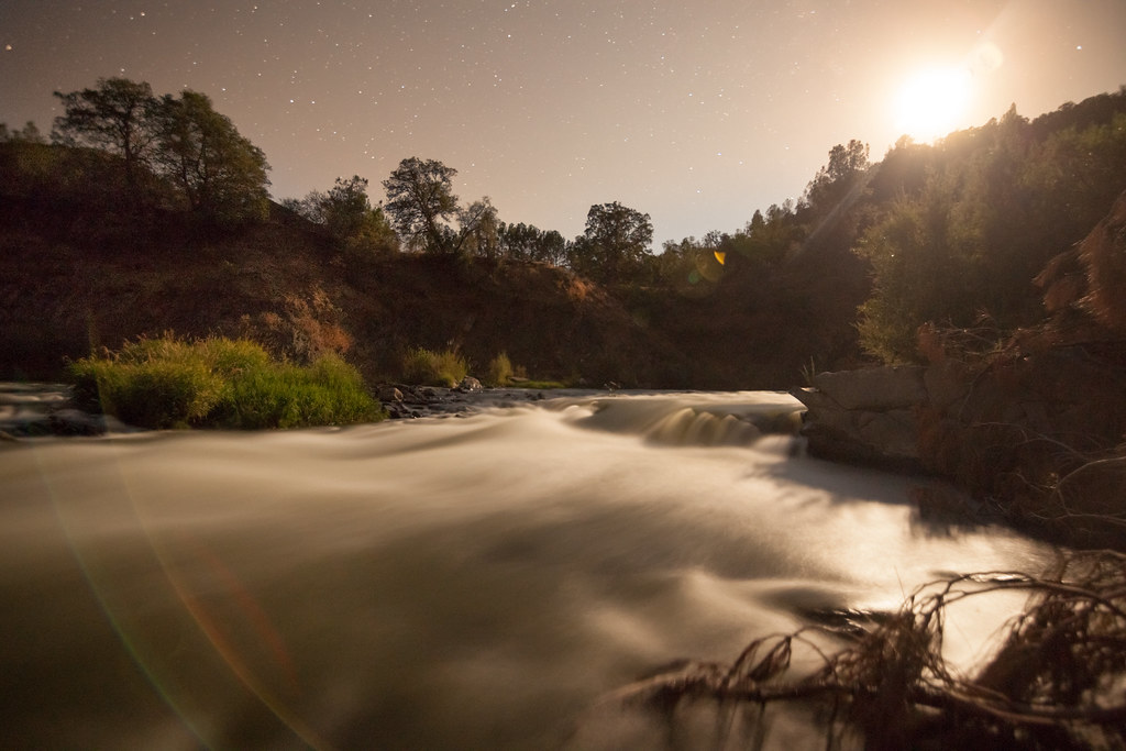 Photo: aerugino, CC BY-SA 2.0 (via Flickr)
- 3.6 mi
- round trip
- 2,206 ft
- climb
- 1,642 ft
- high point
- Out and back
- route
- Feb–Jun, Sep–Dec
- best months
Fiske Creek Trail is a 7.3-mile out-and-back route on Bureau of Land Management land within the Ukiah Field Office in California. The trail starts at about 1,507 feet and rises steadily to a high point of 1,642 feet, with the steepest stretch around 0.77 miles in. That section reaches a 25% grade, and the total elevation gain is 2,206 feet for the full round trip, which makes the trail a moderate climb. Late spring and early fall are the most comfortable times to go. Typical averages from a nearby weather station in Clearlake show May highs around 73°F with lows near 45°F, and October highs around 75°F with lows near 43°F. Summer highs there average about 91°F. The trail takes about 3.5 hours to complete. The Blue Ridge Trail North and Frog Pond Trail both lie within about 2 miles, and the Cache Ridge to Creek Trail and 3 Ponds Trail are a little farther out.
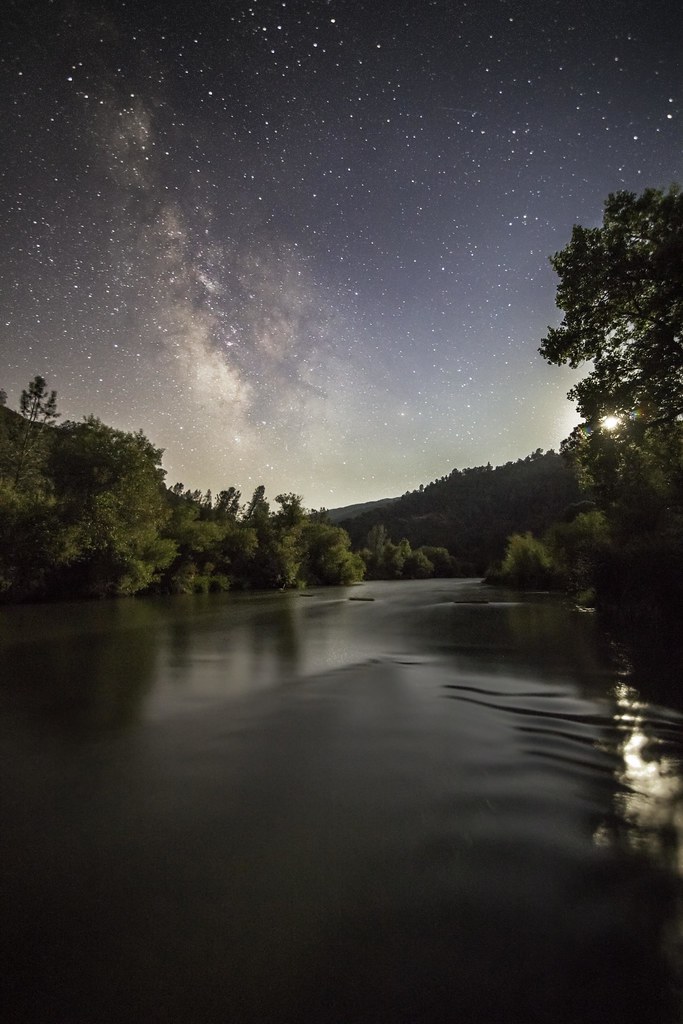 Blue Ridge Trail NorthHikingPhoto: aerugino, CC BY-SA 2.0 (via Flickr)1.3 mi
- Blue Ridge Trail North (low use)Hiking1.5 mi
 Frog Pond TrailHikingPhoto: Franco Folini from San Francisco, USA, CC BY-SA 2.0 (via Wikimedia Commons)1.8 mi
- Little Blue RidgeHiking4.4 mi
- Little Blue Ridge Cross CountryHiking4.6 mi
- Little Blue Ridge SummitHiking4.8 mi
- Cache Ridge to Creek TrailHiking5.5 mi
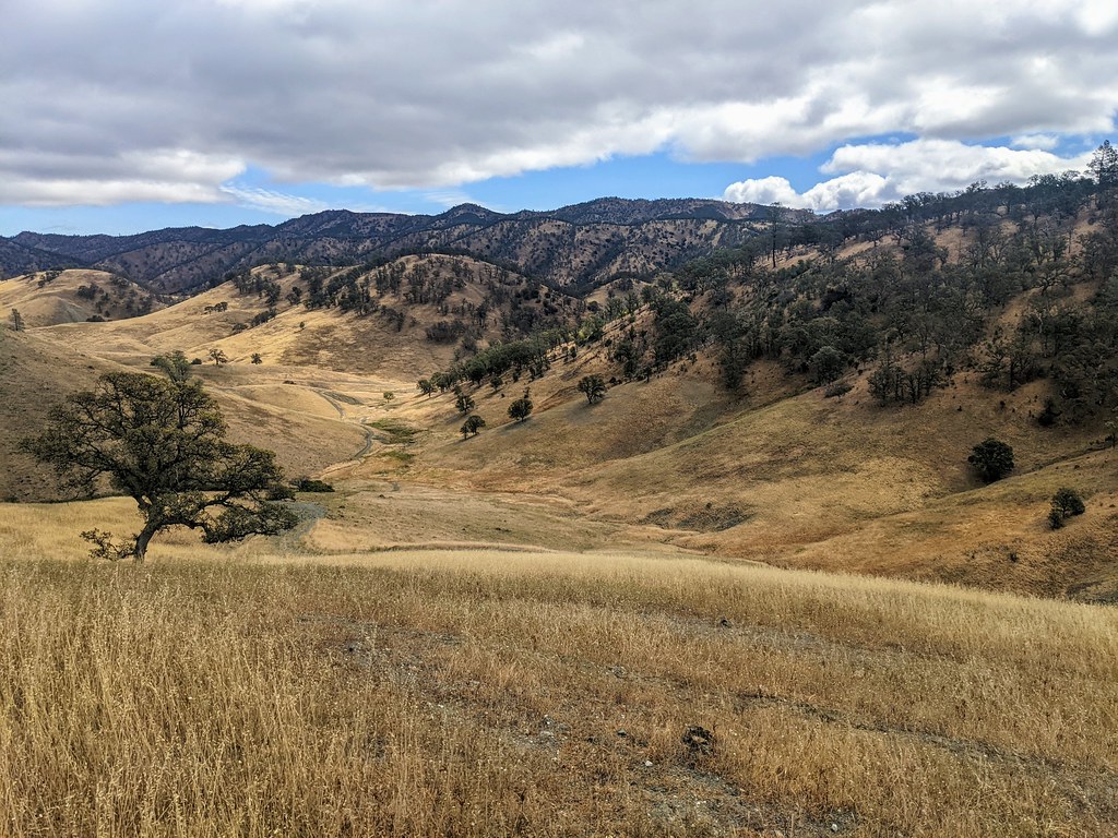 3 Ponds TrailHikingPhoto: Jesse Wagstaff, CC BY 2.0 (via Flickr)6.2 mi
Source: Roamze catalog (indexable pages within 10 miles, PostGIS distance)
- Blue Ridge Trail NorthHiking · ~2 min drivePhoto: aerugino, CC BY-SA 2.0 (via Flickr)
- 3 Ponds TrailHiking · ~11 min drivePhoto: Jesse Wagstaff, CC BY 2.0 (via Flickr)
- Dunfield Spring Cutoff TrailHiking · ~12 min drivePhoto: Jesse Wagstaff, CC BY 2.0 (via Flickr)
 Berryessa Peak TrailHiking · ~23 min drivePhoto: jacobian, CC BY 2.0 (via Flickr)
- Frog Pond TrailHiking · ~3 min drivePhoto: Franco Folini from San Francisco, USA, CC BY-SA 2.0 (via Wikimedia Commons)
- Brophy Canyon to Bear Creek TrailHiking · ~11 min drivePhoto: Jesse Wagstaff, CC BY 2.0 (via Flickr)
 Brophy Canyon TrailHiking · ~13 min drivePhoto: Jesse Wagstaff, CC BY 2.0 (via Flickr)
- Long Canyon TrailHiking · ~11 min drive
 Brushy Sky High TrailHiking · ~20 min drivePhoto: string_bass_dave, CC BY-SA 2.0 (via Flickr)
- Ridge SpurHiking · ~13 min drivePhoto: Jesse Wagstaff, CC BY 2.0 (via Flickr)
Best time to visit Fiske Creek Trail
Best months: February–June and September–December. Best months have typical highs of 55–85 °F, lows of 30 °F or warmer (32 °F where the station doesn't record snow), at most one snowy day and no more than 12 wet days.
Jan
55° / 33°
13 wet
Feb
58° / 34°
12 wet
Mar
62° / 35°
11 wet
Apr
66° / 39°
8 wet
May
73° / 45°
5 wet
Jun
83° / 52°
2 wet
Jul
91° / 56°
0 wet
Aug
91° / 54°
0 wet
Sep
85° / 50°
1 wet
Oct
75° / 43°
4 wet
Nov
63° / 36°
9 wet
Dec
55° / 33°
12 wet
Typical high / low (°F) and days with rain or snow, 1991–2020. Measured at Clearlake 4 Se, CA, 13.6 mi away at 1,349 ft. Source: NOAA NCEI U.S. Climate Normals 1991–2020.

Map and trail data © OpenStreetMap contributors
