Bear Creek
 Photo: Anthonysthwd, CC BY-SA 4.0 (via Wikimedia Commons)
- 20.7 mi
- distance
- 1,336 ft
- high point
- Feb–Jun, Sep–Dec
- best months
Bear Creek is a canoeing spot in California, about 20 miles from the town of Wilbur Springs, which sits about 1.7 miles away. It is a paddling destination rather than a trail, so plan around a canoe or kayak and the stretch of water it offers. The most comfortable months for a trip fall in late spring and early fall. Typical averages from a nearby weather station show May highs around 73°F with lows near 45°F, and October highs around 75°F with lows near 43°F. July and August average highs of 91°F with almost no wet days, while winter brings highs in the mid-50s and more frequent rain, about 12 wet days a month in December and January. Hikers can pair a paddle with the trails that sit within a few miles. Lynch Canyon Trail is about 2.4 miles away, Judge Davis Trail about 3.6 miles, and Brophy Canyon Trail about 4 miles. The Connector Trail between Lynch Canyon Trail and Cache Creek Ridge Trail is roughly 4 miles off.
Local outfitters
- River's Edge Kayak and Canoe39 mi away
Not on Roamze yet. Their page has how to reach them.
- Lynch Canyon TrailHiking2.4 mi
- Connector Trail Between Judge Davis and Cache Creek RidgeHiking3.2 mi
- Judge Davis TrailHiking3.6 mi
- Cache Creek Ridge - Judge Davis Trail ConnectorHiking3.6 mi
 Connector Trail between Lynch Canyon Trail and Cache Creek Ridge TrailHikingPhoto: Jesse Wagstaff, CC BY 2.0 (via Flickr)4 mi
- Brophy Canyon TrailHikingPhoto: Jesse Wagstaff, CC BY 2.0 (via Flickr)4 mi
- Ridge SpurHikingPhoto: Jesse Wagstaff, CC BY 2.0 (via Flickr)4 mi
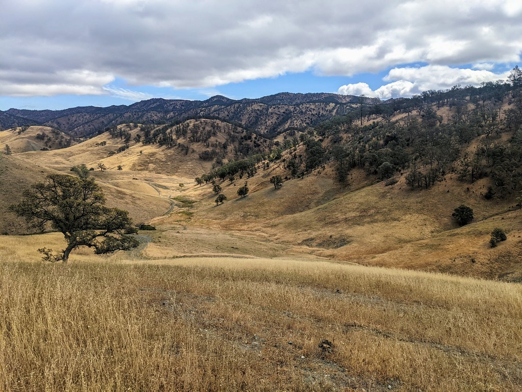 Dunfield Spring Cutoff TrailHikingPhoto: Jesse Wagstaff, CC BY 2.0 (via Flickr)4.1 mi
Source: Roamze catalog (indexable pages within 10 miles, PostGIS distance)
 Putah CreekCanoeing · ~38 min drivePhoto: Bev Sykes from Davis, CA, USA, CC BY 2.0 (via Wikimedia Commons)
- Mike Thompson HarborBoat launch · ~25 min drive
 Cache CreekCanoeing · ~59 min drivePhoto: Marcia Wright, CC BY-SA 3.0 (via Wikimedia Commons)
- Lucerne Boat LaunchBoat launch · ~38 min drive
- Wolf CreekCanoeing · ~22 min drive
- Tisdale Boach Launching FacilityBoat launch · ~52 min drive
- Long Valley CreekCanoeing · ~27 min drive
- Stone Corral CreekCanoeing · ~33 min drive
- Funks CreekCanoeing · ~37 min drive
- Eticuera CreekCanoeing · ~37 min drive
Also worth it near here
 Wilbur Hot SpringsHot spring · ~3 min drivePhoto: Stepheng3, Public domain (via Wikimedia Commons)
- Blank Spring, Manzanita Mine SprsHot spring · ~4 min drive
- Connector Trail between Lynch Canyon Trail and Cache Creek Ridge TrailHiking · ~7 min drivePhoto: Jesse Wagstaff, CC BY 2.0 (via Flickr)
- Cache Creek Regional Park CampgroundCamping · ~16 min drive
Best time to visit Bear Creek
Best months: February–June and September–December. Best months have typical highs of 55–85 °F, lows of 30 °F or warmer (32 °F where the station doesn't record snow), at most one snowy day and no more than 12 wet days.
Jan
55° / 33°
13 wet
Feb
58° / 34°
12 wet
Mar
62° / 35°
11 wet
Apr
66° / 39°
8 wet
May
73° / 45°
5 wet
Jun
83° / 52°
2 wet
Jul
91° / 56°
0 wet
Aug
91° / 54°
0 wet
Sep
85° / 50°
1 wet
Oct
75° / 43°
4 wet
Nov
63° / 36°
9 wet
Dec
55° / 33°
12 wet
Typical high / low (°F) and days with rain or snow, 1991–2020. Measured at Clearlake 4 Se, CA, 12.5 mi away at 1,349 ft. Source: NOAA NCEI U.S. Climate Normals 1991–2020.
