Little Blue Ridge Summit
- 2.5 mi
- round trip
- 1,344 ft
- climb
- 3,064 ft
- high point
- Out and back
- route
- Feb–Nov
- best months
Little Blue Ridge Summit is a moderate out-and-back hike in California, about 5.4 miles from the town of Knoxville. The route is roughly 4.9 miles long, with a total climb of 1,344 feet from the start at about 2,483 feet to the summit at 3,064 feet. The steepest stretch comes at about 1.1 miles in, with a 20% grade. Late spring and early fall are the most comfortable times to go. Typical averages from a nearby weather station show May highs around 73°F and October highs around 72°F, while July and August average in the mid-80s. That station sits well below the summit, so temperatures up top run cooler. The Little Blue Ridge Cross Country hike starts just 0.3 miles away, and the Little Blue Ridge hike is about 1.4 miles off. Farther out, the Cache Ridge to Creek Trail and Frog Pond Trail are both within about 5 miles.
- Little Blue Ridge Cross CountryHiking0.3 mi
- Little Blue RidgeHiking1.4 mi
- Cache Ridge to Creek TrailHiking4.6 mi
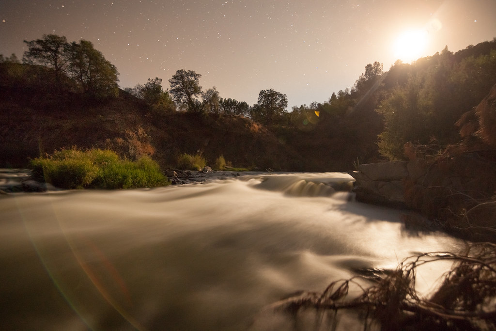
 Frog Pond TrailHikingPhoto: Franco Folini from San Francisco, USA, CC BY-SA 2.0 (via Wikimedia Commons)4.7 mi
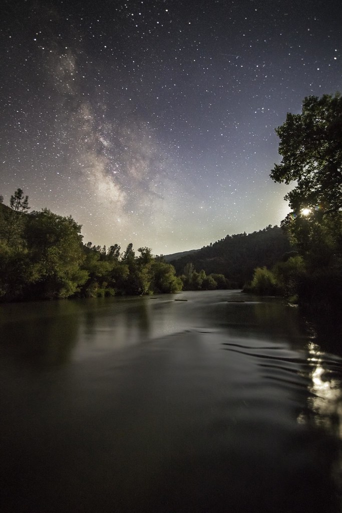
 Fiske Creek TrailHikingPhoto: aerugino, CC BY-SA 2.0 (via Flickr)4.8 mi
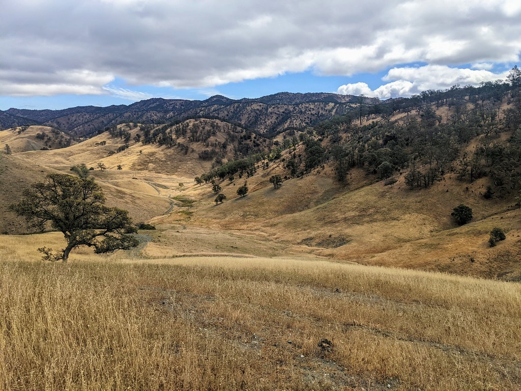
 Blue Ridge Trail NorthHikingPhoto: aerugino, CC BY-SA 2.0 (via Flickr)5.5 mi
- Cache Creek Ridge TrailHiking5.7 mi
 3 Ponds TrailHikingPhoto: Jesse Wagstaff, CC BY 2.0 (via Flickr)5.8 mi
Source: Roamze catalog (indexable pages within 10 miles, PostGIS distance)
- Frog Pond TrailHiking · ~8 min drivePhoto: Franco Folini from San Francisco, USA, CC BY-SA 2.0 (via Wikimedia Commons)
- Fiske Creek TrailHiking · ~8 min drivePhoto: aerugino, CC BY-SA 2.0 (via Flickr)
- Dunfield Spring Cutoff TrailHiking · ~11 min drivePhoto: Jesse Wagstaff, CC BY 2.0 (via Flickr)
 Berryessa Peak TrailHiking · ~25 min drivePhoto: jacobian, CC BY 2.0 (via Flickr)
- Blue Ridge Trail NorthHiking · ~9 min drivePhoto: aerugino, CC BY-SA 2.0 (via Flickr)
- 3 Ponds TrailHiking · ~10 min drivePhoto: Jesse Wagstaff, CC BY 2.0 (via Flickr)
 Brophy Canyon TrailHiking · ~11 min drivePhoto: Jesse Wagstaff, CC BY 2.0 (via Flickr)
- Cache Creek Ridge TrailHiking · ~10 min drive
 Brushy Sky High TrailHiking · ~14 min drivePhoto: string_bass_dave, CC BY-SA 2.0 (via Flickr)
- Brophy Canyon to Bear Creek TrailHiking · ~10 min drivePhoto: Jesse Wagstaff, CC BY 2.0 (via Flickr)
Best time to visit Little Blue Ridge Summit
Best months: February–November. Best months have typical highs of 55–85 °F, lows of 30 °F or warmer (32 °F where the station doesn't record snow), at most one snowy day and no more than 12 wet days.
Jan
54° / 39°
13 wet
Feb
56° / 40°
11 wet
Mar
60° / 41°
11 wet
Apr
66° / 42°
8 wet
May
73° / 47°
4 wet
Jun
80° / 51°
1 wet
Jul
85° / 54°
0 wet
Aug
84° / 54°
0 wet
Sep
81° / 53°
1 wet
Oct
72° / 50°
4 wet
Nov
60° / 43°
9 wet
Dec
53° / 39°
13 wet
Typical high / low (°F) and days with rain or snow, 1991–2020. Measured at Angwin Pacific Union College, CA, 21.7 mi away at 1,715 ft. The station sits about 1,300 ft lower than this place, so expect it a little cooler here. This station doesn't record snowfall. Source: NOAA NCEI U.S. Climate Normals 1991–2020.
Map and trail data © OpenStreetMap contributors
