Brushy Sky High Trail
 Photo: string_bass_dave, CC BY-SA 2.0 (via Flickr)
- 4.6 mi
- round trip
- 2,561 ft
- climb
- 3,170 ft
- high point
- Out and back
- route
- Feb–Nov
- best months
Brushy Sky High Trail is a hard hike of about 4.6 miles in California's Cache Creek Wilderness, set within the Cache Creek Wildlife Area, which State Fish and Wildlife manages. It is an out-and-back route of about 9.3 miles, with a total elevation gain of about 2,560 feet, from a starting point at roughly 1,390 feet to a high point of about 3,170 feet. The trail climbs steadily from the start, and the steepest stretch comes at about 0.3 miles, with a grade of about 37 percent. That makes it a demanding route for anyone not used to steep terrain, and the rolling profile means there is no single long stretch of grade to prepare for, only a series of ascents and descents. The most comfortable months are typically May and June, when a nearby weather station records typical average highs of about 73 and 80 degrees and only a few wet days. That station sits well below the trail, so temperatures on the high point run cooler. Winter is cool and wet, with typical highs in the mid-50s and about 13 wet days a month from December through January. The estimated time is about 4.5 hours. Redbud Trail is about half a mile away. Perkins Creek Ridge is about 4.3 miles off, and Judge Davis Trail is about 5 miles away. Bear Creek, a canoeing route, is about 8.3 miles away.
Conditions and forecast on Brushy Sky High
Daily highs and lows, wind and the chance of precipitation at the summit and route start for the next 7 days, from the Open-Meteo model.
- Redbud TrailHikingPhoto: string_bass_dave, CC BY-SA 2.0 (via Flickr)0.5 mi
- Perkins Creek RidgeHiking4.3 mi
- Judge Davis TrailHiking5 mi
- Cache Creek Ridge - Judge Davis Trail ConnectorHiking5 mi
- Connector Trail Between Judge Davis and Cache Creek RidgeHiking5.8 mi
- Cache Creek Ridge TrailHiking5.8 mi
- Cache Creek Nature TrailHiking6.5 mi
 Bear CreekCanoeingPhoto: Anthonysthwd, CC BY-SA 4.0 (via Wikimedia Commons)8.3 mi
Source: Roamze catalog (indexable pages within 10 miles, PostGIS distance)
- Redbud TrailHiking · Next doorPhoto: string_bass_dave, CC BY-SA 2.0 (via Flickr)
 Ridge SpurHiking · ~11 min drivePhoto: Jesse Wagstaff, CC BY 2.0 (via Flickr)
- Brophy Canyon TrailHiking · ~11 min drivePhoto: Jesse Wagstaff, CC BY 2.0 (via Flickr)
- Cache Creek Ridge TrailHiking · ~10 min drive
 Frog Pond TrailHiking · ~18 min drivePhoto: Franco Folini from San Francisco, USA, CC BY-SA 2.0 (via Wikimedia Commons)
- Connector Trail between Lynch Canyon Trail and Cache Creek Ridge TrailHiking · ~12 min drivePhoto: Jesse Wagstaff, CC BY 2.0 (via Flickr)
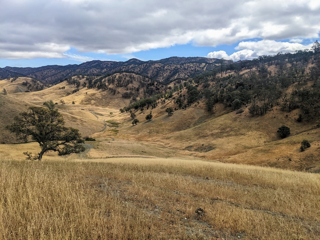 Dunfield Spring Cutoff TrailHiking · ~11 min drivePhoto: Jesse Wagstaff, CC BY 2.0 (via Flickr)
- Long Canyon TrailHiking · ~29 min drive
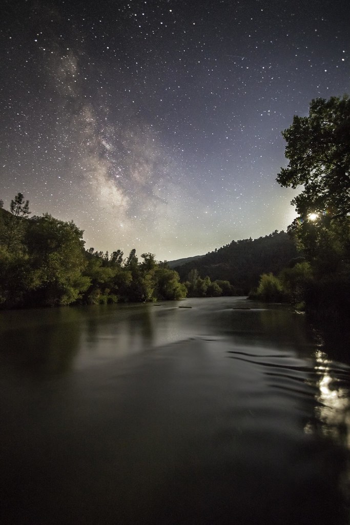 Blue Ridge Trail NorthHiking · ~20 min drivePhoto: aerugino, CC BY-SA 2.0 (via Flickr)
- Brophy Canyon to Bear Creek TrailHiking · ~12 min drivePhoto: Jesse Wagstaff, CC BY 2.0 (via Flickr)
Also worth it near here
Best time to visit Brushy Sky High Trail
Best months: February–November. Best months have typical highs of 55–85 °F, lows of 30 °F or warmer (32 °F where the station doesn't record snow), at most one snowy day and no more than 12 wet days.
Jan
54° / 39°
13 wet
Feb
56° / 40°
11 wet
Mar
60° / 41°
11 wet
Apr
66° / 42°
8 wet
May
73° / 47°
4 wet
Jun
80° / 51°
1 wet
Jul
85° / 54°
0 wet
Aug
84° / 54°
0 wet
Sep
81° / 53°
1 wet
Oct
72° / 50°
4 wet
Nov
60° / 43°
9 wet
Dec
53° / 39°
13 wet
Typical high / low (°F) and days with rain or snow, 1991–2020. Measured at Angwin Pacific Union College, CA, 27.8 mi away at 1,715 ft. The station sits about 1,500 ft lower than this place, so expect it a little cooler here. This station doesn't record snowfall. Source: NOAA NCEI U.S. Climate Normals 1991–2020.

Route details
- Distance
- 4.6 mi round trip
- Climbing
- About 2,561 ft
- Summit
- 3,195 ft
- Difficulty
- Hard
- Time
- About 2.5 hours
Questions about this route
How long is the Brushy Sky High Trail on Brushy Sky High?
About 4.6 mi round trip.
How much elevation gain is on the Brushy Sky High Trail?
About 2,561 ft of climbing round trip.
How hard is the Brushy Sky High Trail?
It is rated hard.
How long does the Brushy Sky High Trail take?
About 2.5 hours round trip.
Map and trail data © OpenStreetMap contributors
