Dry Lagoon to Stone Lagoon Campground Beach Trail
0.76-mile out-and-back beach trail between lagoons in California
 Photo: npdoty, CC BY 2.0 (via Flickr)
- 0.4 mi
- round trip
- 11 ft
- climb
- Out and back
- route
- Easy
- difficulty
Best time to visit Dry Lagoon to Stone Lagoon Campground Beach Trail
Best months: March–November. Best months have typical highs of 55–85 °F, lows of 30 °F or warmer (32 °F where the station doesn't record snow), at most one snowy day and no more than 12 wet days.
Jan
52° / 36°
Feb
54° / 37°
Mar
56° / 37°
Apr
58° / 39°
May
61° / 43°
Jun
64° / 46°
Jul
67° / 49°
Aug
69° / 49°
Sep
69° / 45°
Oct
65° / 42°
Nov
56° / 39°
Dec
51° / 36°
Typical high / low (°F) and days with rain or snow, 1991–2020. Measured at Orick Prairie Creek Park, CA, 10.7 mi away at 160 ft. We don't have this place's elevation, so higher spots nearby can run cooler. This station doesn't record snowfall. Source: NOAA NCEI U.S. Climate Normals 1991–2020.
Dry Lagoon to Stone Lagoon Campground Beach Trail is a short out-and-back hike in California covering 0.76 miles with 11 feet of elevation gain. The trail follows a beach route between two lagoon areas.
Keep exploring — more trails worth the drive
 Photo: lamblukas, CC BY 2.0 (via Flickr)
California Coastal Trail
~1 min drive
20.24-mile out-and-back trail in California with 1,610 ft elevation gain
Photo: lamblukas, CC BY 2.0 (via Flickr)Azalea Nature Trail
~1 min drive
0.47-mile loop trail in California with 322 ft of elevation gain.
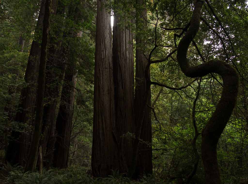 Photo: Justin Dolske, CC BY-SA 2.0 (via Flickr)
44 Camp Trail
~9 min drive
4.04-mile out-and-back hike in California with 1,542 ft gain/loss
Redwood Creek Trail
~11 min drive
Location: Redwood National Park Trailhead: Marked trailhead is off Bald Hills Road. Trail can also be accessed via Tall Trees Grove Trail and Dolason Prairie Trail. Mileage: 8 to Tall Trees Grove Trail, and an additional 6 to Dolason Prairie Trail Difficulty Level: Up to the…
Elam Creek Loop
~6 min drive
14.16-mile out-and-back trail in California with 3,465 ft elevation gain and loss.
 Photo: Wsiegmund, CC BY 2.5 (via Wikimedia Commons)
Ridge Loop
~11 min drive
8.06-mile out-and-back trail in California with 2,853 ft elevation gain
 Photo: Aleksandr Zykov, CC BY-SA 2.0 (via Flickr)
Redwood Creek Trail
~11 min drive
1.5-mile out-and-back trail in California with 477 ft elevation gain/loss.
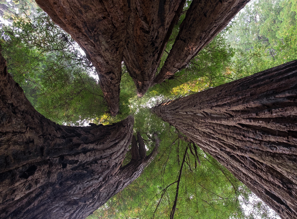 Photo: Justin Dolske, CC BY-SA 2.0 (via Flickr)
Tall Trees Loop Trail
~9 min drive
0.83-mile loop in California with 685 ft elevation gain and loss.
Lady Bird Johnson Nature Trail Stop #5
~13 min drive
Living with the Wind Wind is the great gardener of this ridgetop community. The quiet whisper of summer breezes give way to the powerful gusts of winter storms that can snap the highest branches, sending “widowmakers” plummeting hundreds of feet to the forest floor. Anchored…
44 Creek Loop
~7 min drive
20.88-mile out-and-back trail in California with 3,504 ft elevation gain/loss.

