East Boulder Lake
- 8.8 mi
- round trip
- 1,901 ft
- climb
- 7,122 ft
- high point
- Out and back
- route
Caution at last check
Agency alerts are in effect for this area; weather is marginal · USFS, OpenWeather · checked 22 h ago
Is East Boulder Lake open right now?
Alert in the area
The Forest Service lists 2 alerts for Klamath National Forest.
Temporarily closure of approximately 3.5 miles of National Forest System Roads 47N01
Agency alert covering Klamath National Forest · Order 05-05-00-26-08 · USFS · Klamath National Forest
Grayback Road Repairs
Agency alert covering Klamath National Forest · USFS · Klamath National Forest
As of · Source: USFS · Klamath National Forest. Agencies don't list every closure — check before you go.
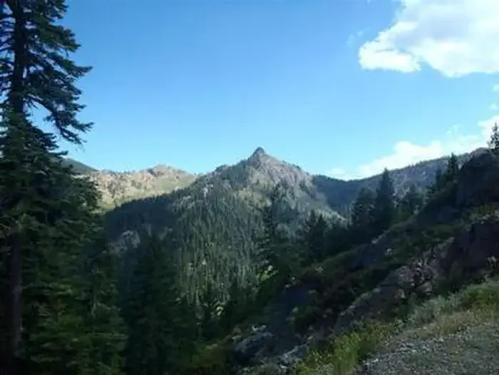
East Boulder Lake is a hard hike in California's Klamath National Forest, on the Scott River Ranger District. It is an out-and-back route of about 8.8 miles, with an elevation gain of about 1,900 feet, rising from a low point of about 5,750 feet to a high point of about 7,120 feet. The Forest Service manages the land. The trail is natural-surfaced, and the climb is not easy. Plan on a long day, with a significant amount of climbing spread over the course of the hike. Several other destinations sit close by. Middle Boulder is about 1.2 miles away and the Boulder Tie Trail about 1.5 miles. For an overnight stay, Scott Mountain campground is about 5.2 miles off. Paddlers can reach the East Fork Scott River, about 8.2 miles away.
- Middle BoulderHiking1.2 mi
- Boulder Tie TrailHiking1.5 mi
- Scott MountainCamping5.2 mi
 Carter Meadows Horse GroupCampingPhoto: Recreation.gov (RIDB) / public domain6.4 mi
- East Fork Scott RiverCanoeing8.2 mi
- Trinity RiverCanoeing9.1 mi
- 45 WallRock climbing9.3 mi
- Lover's Leap (Limestone)Rock climbing9.3 mi
Source: Roamze catalog (indexable pages within 10 miles, PostGIS distance)
- Middle BoulderHiking · ~2 min drive
- Boulder Tie TrailHiking · ~3 min drive
- WashbasinHiking · ~3 min drive
- Pacific Crest National Scenic TrailHiking · ~5 min drive
- Telephone LakeHiking · ~3 min drive
- Tangle BlueHiking · ~5 min drive
- SLIDE CREEKHiking · ~5 min drive
- Pacific Crest National Scenic TrailHiking · ~10 min drive
- Little MillHiking · ~3 min drive
- Tangle Blue Lake TrailHiking · ~7 min drive

