Lower Falls Tract
Campground
Campground · 0.8 mi from the trail
 Photo: Moo.The.Cow, CC BY 2.0 (via Flickr)
Alert in the area
The Forest Service lists 3 alerts for Inyo National Forest.
Help Halt Golden Mussel Invasion
Agency alert covering Inyo National Forest · USFS · Inyo National Forest
Ansel Adams and John Muir Wilderness Campfire Restrictions
Agency alert covering Inyo National Forest · Order 05-04-50-25-04 · USFS · Inyo National Forest
Golden Trout and Hoover Wilderness Campfire Restrictions
Agency alert covering Inyo National Forest · Order 05-04-50-25-05 · USFS · Inyo National Forest
As of · Source: USFS · Inyo National Forest. Agencies don't list every closure — check before you go.
Dragonsback Trail is a short out-and-back hike in California's Inyo National Forest, on the Mammoth Ranger District, about 2 miles from the town of Mammoth. The trail is rated easy, and it covers about 1.9 miles with a one-way elevation gain of 751 feet, from a low point of about 10,200 feet to a high point of about 10,970 feet. The Forest Service manages the land, and the trail is marked as natural-surface with biking allowed. It is not an accessible route. The trail is open year-round, and the closest neighbors are the Mammoth Mountain-Mammoth Pass Trail, about 0.3 miles away, and the Seven Lakes Point Loop, about 0.6 miles away. Twin Lakes Campground sits about a mile off, and the McLeod Lake climbing area is about 1.2 miles away.
Lower Falls Tract
Campground
Lakefront
Restaurant
Twin Falls view
Viewpoint
Places © OpenStreetMap contributors
More in Mammoth LakesNot on Roamze yet. Their page has how to reach them.
 Photo: Hike395 (talk · contribs), CC0 (via Wikimedia Commons)
Mammoth Mountain-Mammoth Pass Trail
Next door
2.08-mile out-and-back hike on Mammoth Mountain with 857 ft gain/loss.
 Photo: inkknife_2000 (14 million views), CC BY-SA 2.0 (via Flickr)
Seven Lakes Point Loop
Next door
0.79-mile out-and-back trail in California with 342 ft elevation gain.
 Photo: Plane777 (talk · contribs), Public domain (via Wikimedia Commons)
Mammoth Mountain Trail
~3 min drive
7.52-mile out-and-back hike in California with 2,617 ft elevation gain and loss.
 Photo: Don Graham from Redlands, CA, USA - God bless it!, CC BY-SA 2.0 (via Wikimedia Commons)
Horseshoe Lake Loop
~2 min drive
3.31-mile out-and-back trail in California with 277 ft of elevation gain.
 Photo: inkknife_2000 (14 million views), CC BY-SA 2.0 (via Flickr)
Panorama Mountain Bike Loop
~2 min drive
1.44-mile out-and-back mountain bike out-and-back in California with 362 ft elevation gain.
 Photo: Moo.The.Cow, CC BY 2.0 (via Flickr)
Rim Trail
~2 min drive
2.86-mile out-and-back hike in California with 1,533 ft gain/loss.
Photo: Hike395 (talk · contribs), CC0 (via Wikimedia Commons)Mccleod Lake
~2 min drive
0.10-mile out-and-back trail to McCleod Lake in California.
 Photo: Seth Tisue, CC BY-SA 2.0 (via Flickr)
Mountain View Mtn. Bike
~4 min drive
3.16-mile out-and-back mountain bike trail in California with 521 ft elevation gain and moderate difficulty.
 Photo: inkknife_2000 (14 million views), CC BY-SA 2.0 (via Flickr)
Panorama Dome Mtn Bike
~2 min drive
1.05-mile out-and-back trail in California.
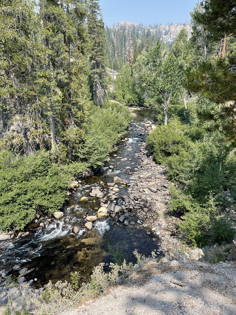 Photo: JingKe888, CC BY 2.0 (via Flickr)
Mammoth Pass Trail
~4 min drive
4.46-mile out-and-back hike in California with 1,434 ft elevation gain and loss.


