Lower Falls Tract
Campground
Campground · 1.5 mi from the trail
 Photo: Hike395 (talk · contribs), CC BY 3.0 (via Wikimedia Commons)
Alert in the area
The Forest Service lists 3 alerts for Inyo National Forest.
Help Halt Golden Mussel Invasion
Agency alert covering Inyo National Forest · USFS · Inyo National Forest
Ansel Adams and John Muir Wilderness Campfire Restrictions
Agency alert covering Inyo National Forest · Order 05-04-50-25-04 · USFS · Inyo National Forest
Golden Trout and Hoover Wilderness Campfire Restrictions
Agency alert covering Inyo National Forest · Order 05-04-50-25-05 · USFS · Inyo National Forest
As of · Source: USFS · Inyo National Forest. Agencies don't list every closure — check before you go.
Mammoth Mountain is a summit of about 11,056 feet in Mono County, California, within the Mammoth Ranger District of Inyo National Forest. The Forest Service manages the land, and the town of Mammoth Lakes lies about 2.5 miles away. The peak sits among a cluster of trails and climbing areas. The Mammoth Mountain-Mammoth Pass Trail starts about a mile away, and the Dragonsback Trail, a mountain biking route, is about half a mile off. Climbers can head to McLeod Lake, roughly 1.6 miles away, and Twin Lakes Campground, about 1.7 miles away, offers a place to stay.
Lower Falls Tract
Campground
Twin Falls view
Viewpoint
Places © OpenStreetMap contributors, Places © Overture Maps Foundation
More in Mammoth LakesDaily highs and lows, wind and the chance of precipitation at the summit for the next 7 days, from the Open-Meteo model.
Elevation from USGS 3D Elevation Program terrain data (about 10 m resolution).
We don't know of a mapped trail or route to the summit of Mammoth Mountain. Plan the approach with local maps, a guidebook or a local guide, and check conditions before you go.
11,056 ft (3,370 m).
We don't know of a mapped trail or route to the summit. Plan the approach with local maps, a guidebook or a local guide.

 Mammoth Mountain-Mammoth Pass TrailHikingPhoto: Hike395 (talk · contribs), CC0 (via Wikimedia Commons)1 mi
 Twin Lakes CampgroundCampingPhoto: Recreation.gov (RIDB) / public domain1.7 mi
 Lake Mary CampgroundCampingPhoto: Recreation.gov (RIDB) / public domain2.2 mi
Source: Roamze catalog (indexable pages within 10 miles, PostGIS distance)
 Minaret SummitSummit · ~4 min drivePhoto: Mav at English Wikipedia, CC BY-SA 3.0 (via Wikimedia Commons)
 Red ConesSummit · ~6 min drivePhoto: C.D. Miller, Public domain (via Wikimedia Commons)
 MinaretsSummit · ~14 min drivePhoto: US National Park Service, Public domain (via Wikimedia Commons)
 Bloody MountainSummit · ~14 min drivePhoto: Adorabutton, CC BY-SA 3.0 (via Wikimedia Commons)
 Laurel MountainSummit · ~15 min drivePhoto: Frank Kovalchek from Anchorage, Alaska, USA, CC BY 2.0 (via Wikimedia Commons)
 Carson PeakSummit · ~16 min drivePhoto: Sandip Bhattacharya, CC BY 2.0 (via Wikimedia Commons)
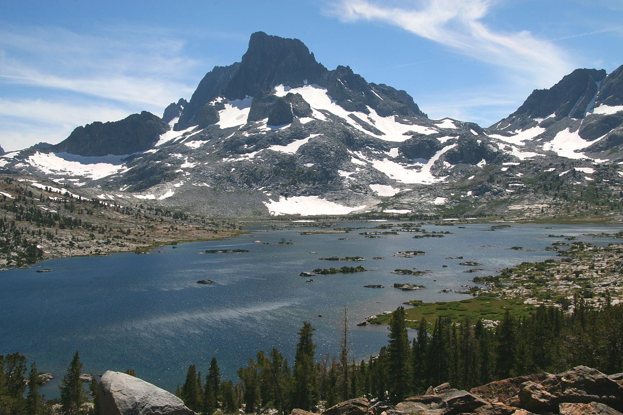 Banner PeakSummit · ~17 min drivePhoto: Dcrjsr (talk · contribs), CC BY 3.0 (via Wikimedia Commons)
 Mount RitterSummit · ~17 min drivePhoto: Mel, CC BY-SA 2.0 (via Wikimedia Commons)
 Mount MorrisonSummit · ~18 min drivePhoto: The original uploader was Geographer at English Wikipedia., CC BY 1.0 (via Wikimedia Commons)
 Mount DavisSummit · ~20 min drivePhoto: Hike395 (talk · contribs), CC BY 3.0 (via Wikimedia Commons)
Also worth it near here
 Dragonsback TrailHiking · ~1 min drivePhoto: Moo.The.Cow, CC BY 2.0 (via Flickr)
 Mammoth MountainDownhill skiing · ~1 min drivePhoto: Karissa Kunihira, CC BY 3.0 (via Wikimedia Commons)
 Bearing Straits (2-Way)Mountain biking · ~2 min drivePhoto: Davefoc, CC BY-SA 3.0 (via Wikimedia Commons)
