Devastated Area
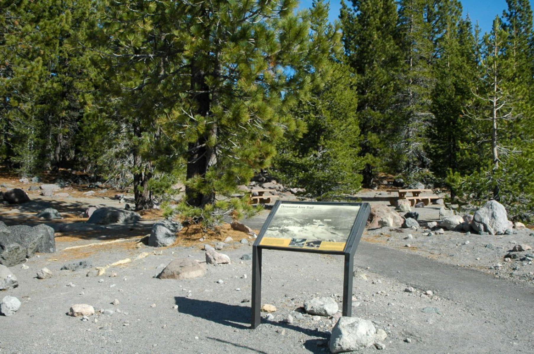 Photo: NPS
- 0.3 mi
- loop
- 12 ft
- climb
- 6,475 ft
- high point
- Loop
- route
- May–Oct
- best months
Is Devastated Area open right now?
Closure in the area
There's a closure order in Lassen Volcanic National Park. It doesn't name Devastated Area, so check the source for the area it covers.
Lassen National Park Highway Temporarily Closed
Park closure covering Lassen Volcanic National Park · NPS · Lassen Volcanic National Park
As of · Source: NPS · Lassen Volcanic National Park. Agencies don't list every closure — check before you go.
The Devastated Area is a short, accessible loop inside Lassen Volcanic National Park in California, managed by the National Park Service. The trail is about a quarter mile long, and the climb from the lowest point to the high point is only 12 feet, so it makes an easy addition to a visit to the park. The route circles the area that was devastated by Lassen Peak's 1915-1916 eruption. Waysides along the loop tell the story of how the eastern slope came to be known as the Devastated Area, and historic photos and accounts put that history in context. Today, forests cover much of the ground that was once barren, and the rocks on the trail show the story of the eruption through stone. Summer is the most comfortable time to visit. Typical averages from a nearby weather station at Manzanita Lake show July highs around 79°F with lows near 46°F. That station sits about 725 feet lower than the trail, so temperatures on the loop run a bit cooler. Vault toilets and picnic tables are located via a short walk from the parking area. The trail is within the park's fee system, and it is a good choice for families and curious minds. The Roadside Distraction climbing area is about 0.7 miles away, and Raker Peak is about a mile off. Summit Lake North campground is about 2.6 miles away, and the Summit Lake Trail is about 2.7 miles away.
Best time to go · May–Oct
Best time to visit Devastated Area
Best months: May–October. Best months have typical highs of 55–85 °F, lows of 30 °F or warmer (32 °F where the station doesn't record snow), at most one snowy day and no more than 12 wet days.
Jan
41° / 22°
Feb
42° / 22°
Mar
46° / 24°
Apr
50° / 27°
May
61° / 35°
Jun
70° / 41°
Jul
79° / 46°
Aug
78° / 45°
Sep
72° / 41°
Oct
59° / 33°
Nov
47° / 26°
Dec
39° / 22°
Typical high / low (°F) and days with rain or snow, 1991–2020. Measured at Manzanita Lake, CA, 6.1 mi away at 5,750 ft. The station sits about 700 ft lower than this place, so expect it a little cooler here. This station doesn't record snowfall. Source: NOAA NCEI U.S. Climate Normals 1991–2020.
Keep exploring — more trails worth the drive
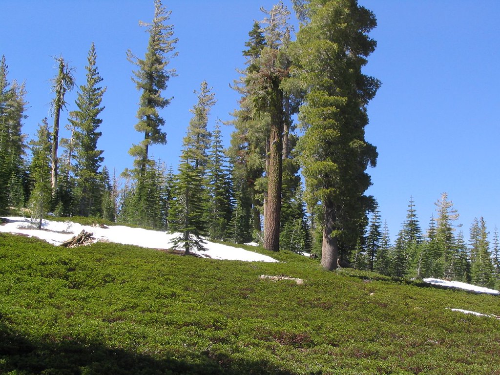 Photo: Ken Lund, CC BY-SA 2.0 (via Flickr)
Terrace, Shadow & Cliff Lake
~5 min drive
7.7-mile out-and-back trail to Terrace, Shadow & Cliff Lake in California.
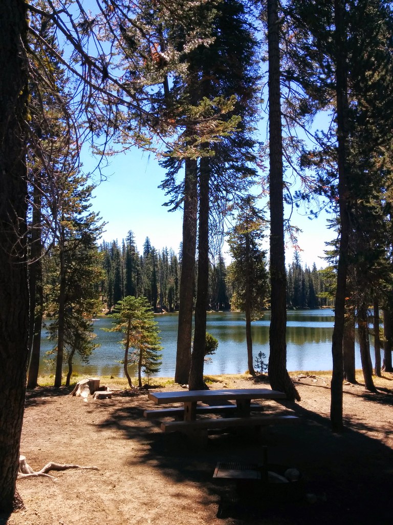 Photo: Näystin, CC BY-SA 2.0 (via Flickr)
Summit Lake Trail
~5 min drive
2.16-mile out-and-back hike in California with 370 ft elevation gain.
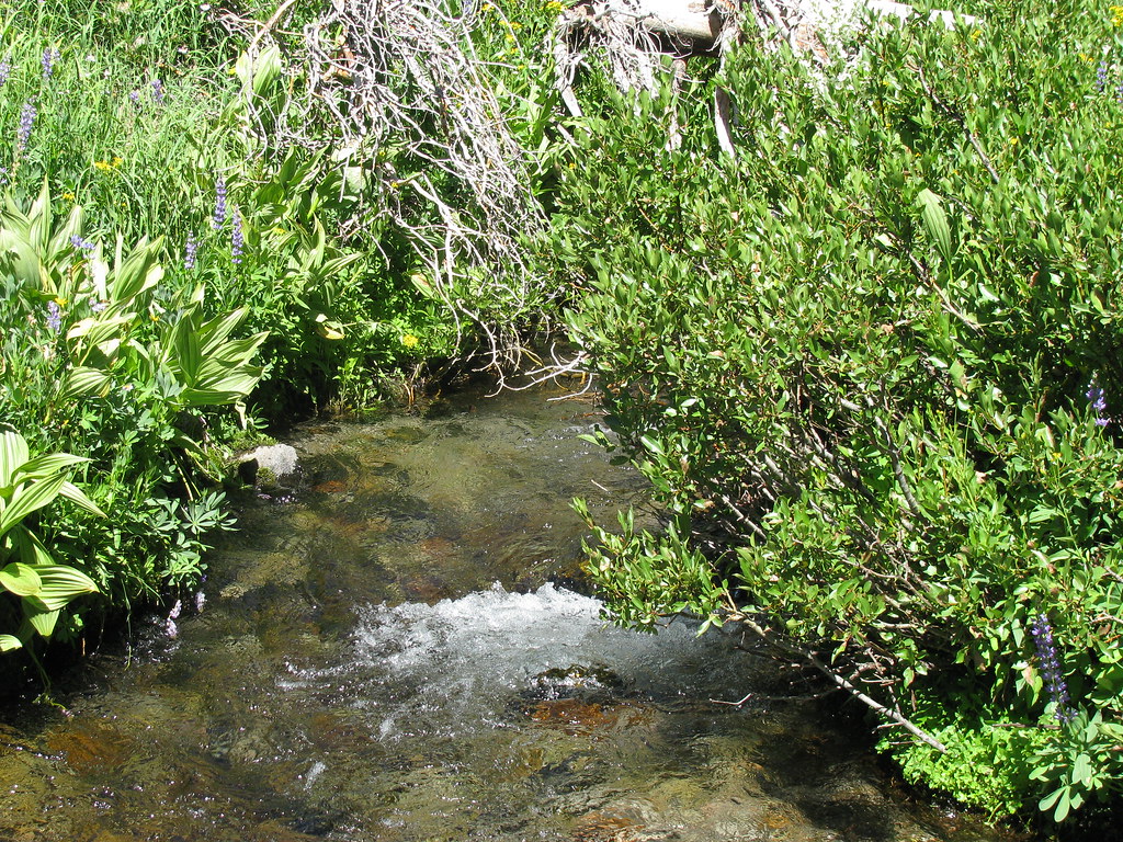 Photo: wyldwest, CC BY 2.0 (via Flickr)
Summit Lake South CG
~5 min drive
0.64-mile out-and-back trail to Summit Lake South CG in California.
 Photo: inkknife_2000 (7.5 million views +), CC BY-SA 2.0 (via Wikimedia Commons)
Bear Lakes Trail
~6 min drive
10.3-mile out-and-back hike in California with 1,675 ft elevation gain
 Photo: inkknife_2000 (7.5 million views +), CC BY-SA 2.0 (via Wikimedia Commons)
Pacific Crest Trail
~8 min drive
28.18-mile out-and-back trail in California with 4,049 ft elevation gain
Photo: Näystin, CC BY-SA 2.0 (via Flickr)Echo Lake/Twin Lakes Trail
~5 min drive
8.96-mile out-and-back trail in California with 2,402 ft elevation gain.
Photo: wyldwest, CC BY 2.0 (via Flickr)Summit Lake To Corral Meadow Trail
~5 min drive
3.28-mile out-and-back trail with 730 ft gain and loss, reaching 6,727 ft.
HIKE
Brokeoff Volcano Vista
~7 min drive
This small parking area is perched above Little Hot Springs Valley in the shadow of Lassen Peak. Parking is limited and fills quickly in the summer due to the popularity of the Bumpass Hell Trail. The trailhead is located at the northeast end of the parking area, near the…
HIKE
Nobles-Emigrant Trail
~6 min drive
25.38-mile out-and-back trail in California with 1,797 ft elevation gain/loss.
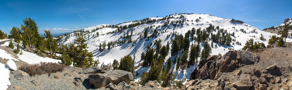 Photo: RuggyBearLA, CC BY-SA 2.0 (via Flickr)
Paradise Meadows Trail
~5 min drive
5.62-mile out-and-back hike in California with 1,859 ft elevation gain


