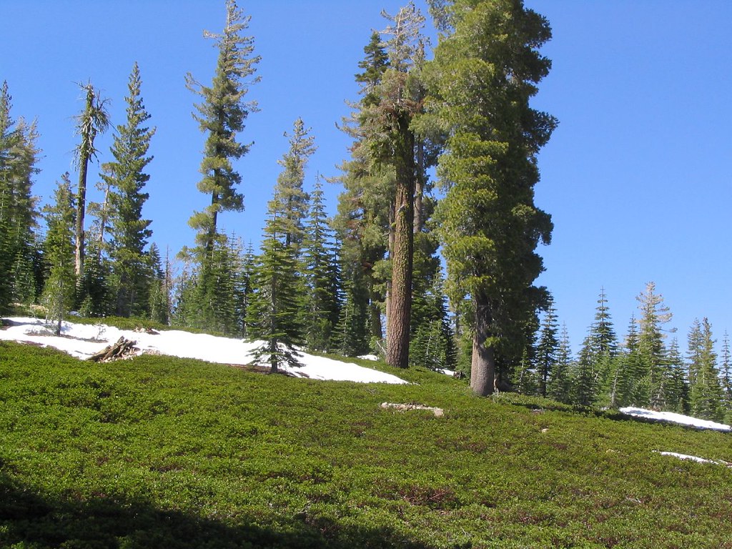
Terrace, Shadow & Cliff Lake
California
Free — you'll pick up right here.
3.9 mi
Distance
1,286 ft
Gain
Conditions: Clear
for hike, todayWeather is good
1 factor · 1 source
Observed 16 h ago
clear: Weather
Clear, high 62°F / low 59°F, 0% precip — 100/100 for hike
OpenWeather16 h ago
Been out here in the last few days? One report keeps this current for everyone.
Why you'll love it
Here's your day, mapped
Terrace, Shadow & Cliff Lake
Suggested plan · check conditions before you go
Meals
Gear for the day
Elevation & route
- Distance
- 3.9 mi
- Elevation gain
- 1,286 ft
Photos
Directions & GPX
Permits & access
- Managing agency
- National Park Service
About this trail
Terrace, Shadow & Cliff Lake is a 7.7-mile out-and-back trail in California's National Park Service system. The route gains 1,286 feet of elevation.
Add to a trip & share
Keep exploring — more trails worth the drive
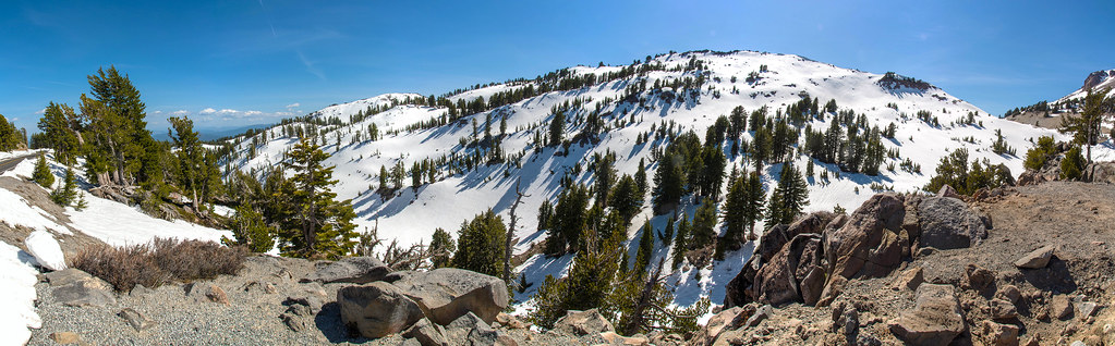 Photo: RuggyBearLA, CC BY-SA 2.0 (via Flickr)
Paradise Meadows Trail
~0 min drive
5.62-mile out-and-back hike in California with 1,859 ft elevation gain
Kings Creek Meadow Viewpoint
~2 min drive
Outstanding views of Lassen Peak are visible from highway turnouts near Kings Creek Upper Meadow. This meadow is frequently photographed in its vibrant seasonal colors from the snowy white of spring to the golden hues of fall. Non-native trout species including brown and…
Brokeoff Volcano Vista
~4 min drive
This small parking area is perched above Little Hot Springs Valley in the shadow of Lassen Peak. Parking is limited and fills quickly in the summer due to the popularity of the Bumpass Hell Trail. The trailhead is located at the northeast end of the parking area, near the…
 Photo: inkknife_2000 (7.5 million views +), CC BY-SA 2.0 (via Wikimedia Commons)
Bear Lakes Trail
~7 min drive
10.3-mile out-and-back hike in California with 1,675 ft elevation gain
 Photo: inkknife_2000 (7.5 million views +), CC BY-SA 2.0 (via Wikimedia Commons)
Pacific Crest Trail
~7 min drive
28.18-mile out-and-back trail in California with 4,049 ft elevation gain
Lassen Peak Scenic Vista
~3 min drive
Lassen Peak is a monument to the area’s natural history and humankind’s adventurous spirit. At 10,457 feet high, it’s one of the world’s largest plug dome volcanoes. Its 1914-1917 eruptions were a driving force behind the establishment of Lassen Volcanic National Park. The…
 Photo: Seth Tisue, CC BY-SA 2.0 (via Flickr)
Cold Boiling Lake Trail
~3 min drive
1.36-mile out-and-back hike to Cold Boiling Lake in California.
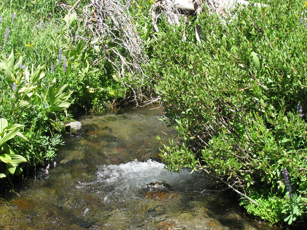 Photo: wyldwest, CC BY 2.0 (via Flickr)
Summit Lake South CG
~5 min drive
0.64-mile out-and-back trail to Summit Lake South CG in California.
Brokeoff Mountain Trail
~8 min drive
7.24-mile out-and-back hike in California with 3,056 ft elevation gain and loss.
 Photo: Seth Tisue, CC BY-SA 2.0 (via Flickr)
Twin Meadows Trail
~3 min drive
4.38-mile out-and-back trail in California with 1,134 ft gain and 7,464 ft max elevation.
Also worth it near here
Restroom
~2 min drive
 Photo: Frank Schulenburg, CC BY-SA 4.0 (via Wikimedia Commons)
Lassen Peak
~3 min drive
 Photo: Daniel Schwen, CC BY-SA 2.5 (via Wikimedia Commons)
First and Second Terrace
~3 min drive
 Photo: T1madpaintballer at English Wikipedia, Public domain (via Wikimedia Commons)
Bumpass Hell
~3 min drive
Kings Creek Falls
~4 min drive
