Nobles-Emigrant Trail
- 12.7 mi
- round trip
- 1,797 ft
- climb
- 6,478 ft
- high point
- Out and back
- route
- May–Oct
- best months
Is Nobles-Emigrant Trail open right now?
Closure in the area
There's a closure order in Lassen Volcanic National Park. It doesn't name Nobles-Emigrant Trail, so check the source for the area it covers.
Lassen National Park Highway Closed to Vehicle Traffic
Park closure covering Lassen Volcanic National Park · NPS · Lassen Volcanic National Park
As of · Source: NPS · Lassen Volcanic National Park. Agencies don't list every closure — check before you go.
Nobles-Emigrant Trail is a 12.7-mile out-and-back hike in Lassen Volcanic National Park in California, managed by the National Park Service. The trail starts at about 6,130 feet and climbs steadily to a high point of 6,478 feet, with the steepest stretch around mile 8.3. The total climb is about 1,800 feet, and the route is rated hard. Summer is the most comfortable time to go. Typical averages from the nearby Manzanita Lake weather station show July highs around 79°F with lows near 46°F, while winter highs sit in the low 40s. Cluster Lakes Trail lies about 1.7 miles away, and Raker Peak is about 3.2 miles off. For an overnight stay, Lost Creek Group campground is about 4.1 miles away and Summit Lake North is about 4.6 miles away.
- Cluster Lakes TrailHiking1.7 mi
- Raker PeakRock climbing3.2 mi
 Roadside Distraction AreaRock climbingPhoto: randomduck, CC BY-SA 2.0 (via Flickr)3.2 mi
- Roadside DistractionRock climbingPhoto: randomduck, CC BY-SA 2.0 (via Flickr)3.2 mi
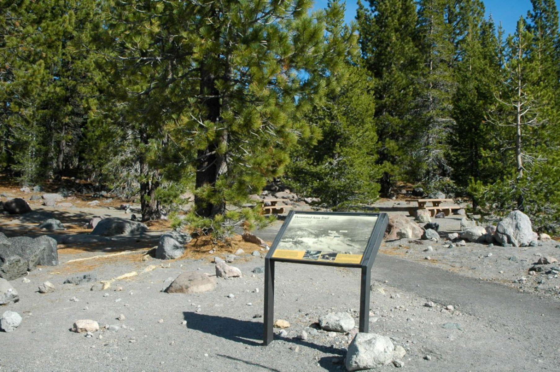 Devastated AreaHikingPhoto: NPS3.4 mi
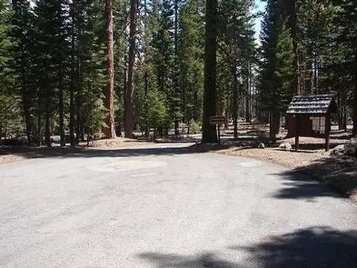 Lost Creek GroupCampingPhoto: Recreation.gov (RIDB) / public domain4.1 mi
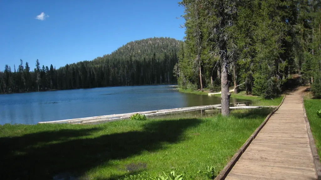 Summit Lake NorthCampingPhoto: Recreation.gov (RIDB) / public domain4.6 mi
 Summit Lake Stock CorralCampingPhoto: Recreation.gov (RIDB) / public domain4.7 mi
Source: Roamze catalog (indexable pages within 10 miles, PostGIS distance)
- Devastated AreaHiking · ~6 min drive
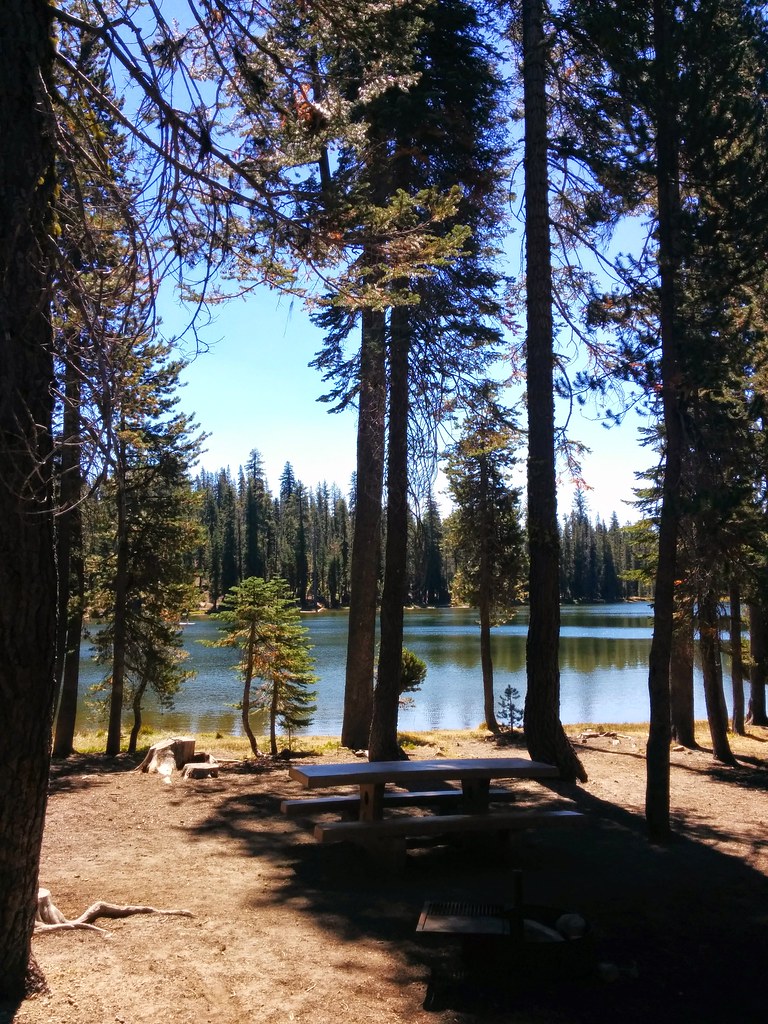 Echo Lake/Twin Lakes TrailHiking · ~8 min drivePhoto: Näystin, CC BY-SA 2.0 (via Flickr)
 Bear Lakes TrailHiking · ~8 min drivePhoto: inkknife_2000 (7.5 million views +), CC BY-SA 2.0 (via Wikimedia Commons)
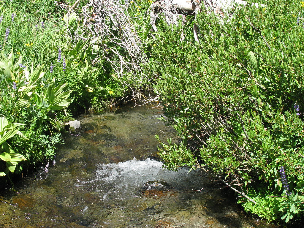 Summit Lake South CGHiking · ~8 min drivePhoto: wyldwest, CC BY 2.0 (via Flickr)
 Pacific Crest TrailHiking · ~12 min drivePhoto: inkknife_2000 (7.5 million views +), CC BY-SA 2.0 (via Wikimedia Commons)
- Summit Lake TrailHiking · ~8 min drivePhoto: Näystin, CC BY-SA 2.0 (via Flickr)
 Rainbow Lake To Nobles TrailHiking · ~10 min drivePhoto: inkknife_2000 (7.5 million views +), CC BY-SA 2.0 (via Wikimedia Commons)
- Pacific Crest Trail-Thing Vall - CaliforniaHiking · Next door
- Sunflower FlatHiking · ~9 min drive
- Summit Lake To Corral Meadow TrailHiking · ~9 min drivePhoto: wyldwest, CC BY 2.0 (via Flickr)
Also worth it near here
Best time to visit Nobles-Emigrant Trail
Best months: May–October. Best months have typical highs of 55–85 °F, lows of 30 °F or warmer (32 °F where the station doesn't record snow), at most one snowy day and no more than 12 wet days.
Jan
41° / 22°
Feb
42° / 22°
Mar
46° / 24°
Apr
50° / 27°
May
61° / 35°
Jun
70° / 41°
Jul
79° / 46°
Aug
78° / 45°
Sep
72° / 41°
Oct
59° / 33°
Nov
47° / 26°
Dec
39° / 22°
Typical high / low (°F) and days with rain or snow, 1991–2020. Measured at Manzanita Lake, CA, 7.4 mi away at 5,750 ft. The station sits about 700 ft lower than this place, so expect it a little cooler here. This station doesn't record snowfall. Source: NOAA NCEI U.S. Climate Normals 1991–2020.

Map and trail data © OpenStreetMap contributors
