Kings Creek Falls
- 6,843 ft
- elevation
- National Park Service
- managed by
- May–Oct
- best months
Is Kings Creek Falls open right now?
Closure in the area
There's a closure order in Lassen Volcanic National Park. It doesn't name Kings Creek Falls, so check the source for the area it covers.
Lassen National Park Highway Closed to Vehicle Traffic
Park closure covering Lassen Volcanic National Park · NPS · Lassen Volcanic National Park
As of · Source: NPS · Lassen Volcanic National Park. Agencies don't list every closure — check before you go.
Kings Creek Falls is a waterfall in Lassen Volcanic National Park in California, managed by the National Park Service. The nearest town is Warner Valley, about 6.5 miles away. The falls sit at about 6,840 feet, and they make an easy pairing with the trails that start close by. Summer is the most comfortable time to visit. Typical averages from the nearby Manzanita Lake weather station show July highs around 79°F and lows near 46°F, and the falls sit a few hundred feet higher than that station, so expect it to be a little cooler. The Kings Creek Horse Trail begins just 0.1 mile away, and the Sifford Lakes Trail is about half a mile off. Climbers can head to the Lassen National Park climbing area, about 2 miles away, and Summit Lake South campground is about 2.3 miles away.
- Elevation
- 6,843 ft
- Land manager
- National Park Service
Elevation from USGS 3D Elevation Program terrain data (about 10 m resolution).
 Kings Creek Horse TrailHikingPhoto: daveynin, CC BY 2.0 (via Flickr)0.1 mi
 Sifford Lakes TrailHikingPhoto: NAParish, CC BY-SA 2.0 (via Flickr)0.5 mi
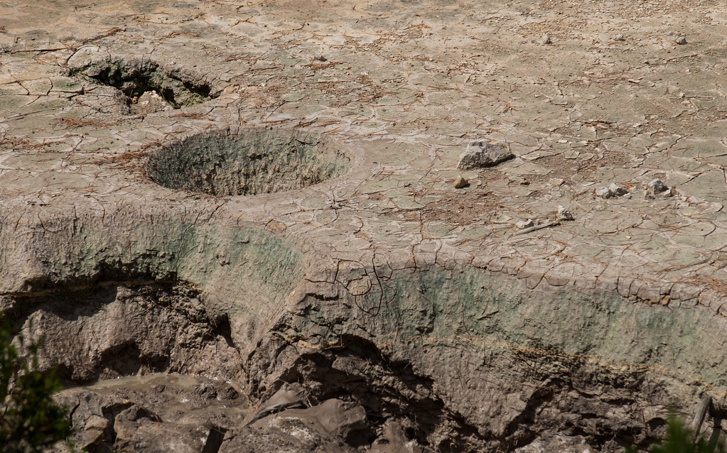 Sifford Lakes Spur TrailHikingPhoto: Justin Dolske, CC BY-SA 2.0 (via Flickr)0.7 mi
- Lassen National ParkRock climbing2 mi
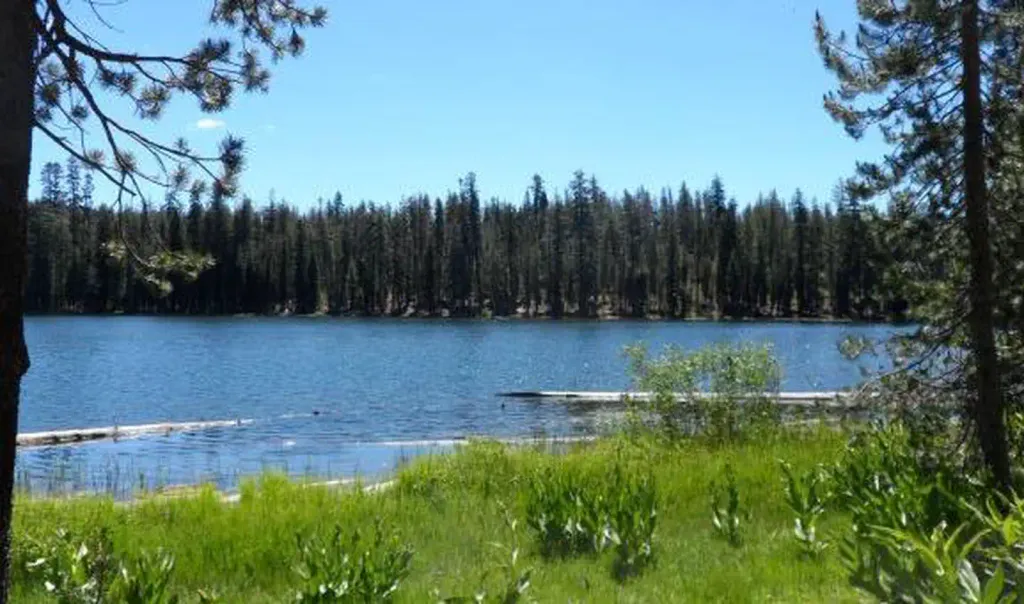 Summit Lake SouthCampingPhoto: Recreation.gov (RIDB) / public domain2.3 mi
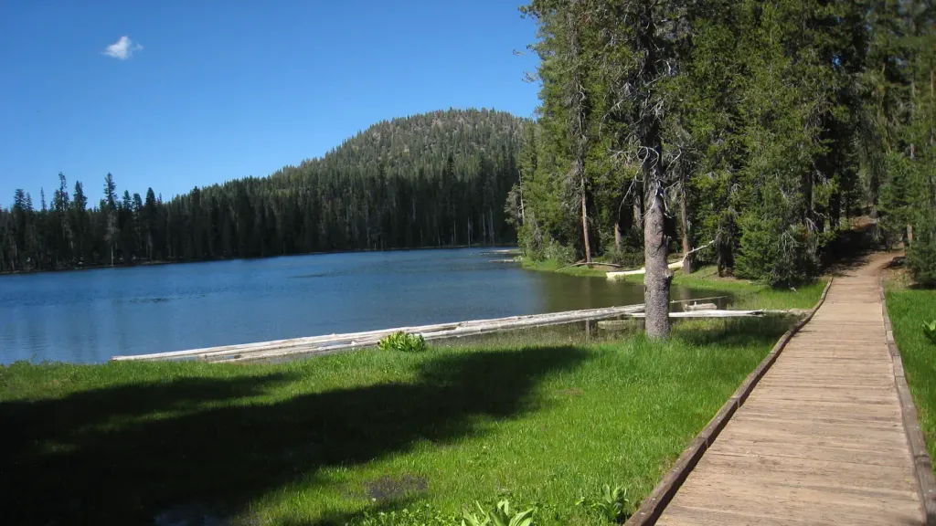 Summit Lake NorthCampingPhoto: Recreation.gov (RIDB) / public domain2.6 mi
 Summit Lake Stock CorralCampingPhoto: Recreation.gov (RIDB) / public domain2.7 mi
- Right of the Regular RouteRock climbing3.9 mi
Source: Roamze catalog (indexable pages within 10 miles, PostGIS distance)
 Burney FallsWaterfall · ~1h 8m drivePhoto: Dvortygirl, CC BY-SA 3.0 (via Wikimedia Commons)
- Mill Creek FallsWaterfall · ~7 min drive
- Bluff FallsWaterfall · ~10 min drive
- Deadhorse FallsWaterfall · ~31 min drive
- Deer Creek FallsWaterfall · ~31 min drive
- Lower Deer Creek FallsWaterfall · ~37 min drive
- Bear Creek FallsWaterfall · ~46 min drive
- Clover Creek FallsWaterfall · ~57 min drive
- Pit River FallsWaterfall · ~1h 2m drive
- Indian FallsWaterfall · ~1h 4m drive
Also worth it near here
- Kings Creek Horse TrailHiking · Next doorPhoto: daveynin, CC BY 2.0 (via Flickr)
- Summit Lake SouthCamping · ~4 min drive
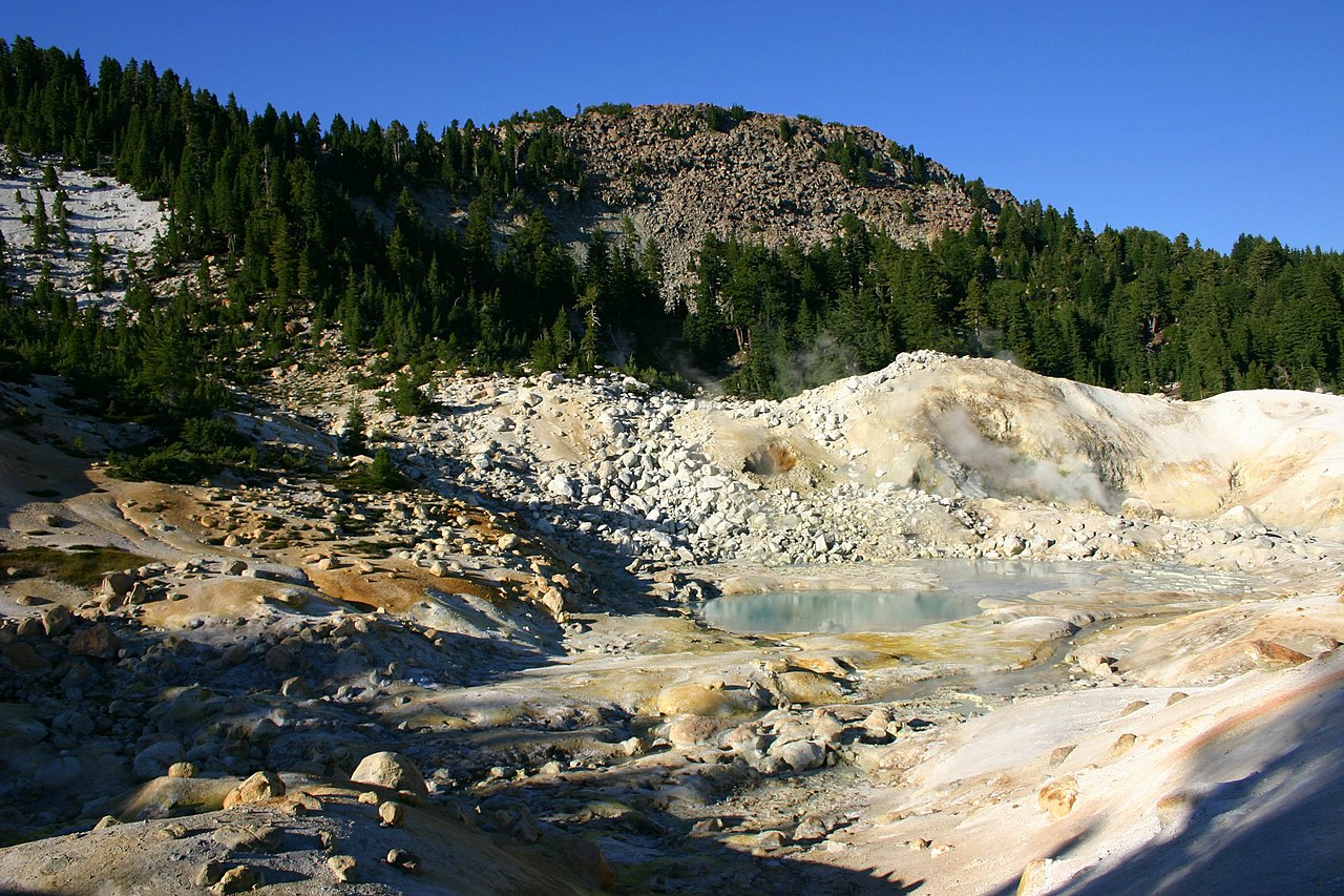 Bumpass MountainSummit · ~5 min drivePhoto: Genista Kai Schreiber, CC BY-SA 2.0 (via Wikimedia Commons)
 Bumpass HellHot spring · ~5 min drivePhoto: T1madpaintballer at English Wikipedia, Public domain (via Wikimedia Commons)
Best time to visit Kings Creek Falls
Best months: May–October. Best months have typical highs of 55–85 °F, lows of 30 °F or warmer (32 °F where the station doesn't record snow), at most one snowy day and no more than 12 wet days.
Jan
41° / 22°
Feb
42° / 22°
Mar
46° / 24°
Apr
50° / 27°
May
61° / 35°
Jun
70° / 41°
Jul
79° / 46°
Aug
78° / 45°
Sep
72° / 41°
Oct
59° / 33°
Nov
47° / 26°
Dec
39° / 22°
Typical high / low (°F) and days with rain or snow, 1991–2020. Measured at Manzanita Lake, CA, 9.1 mi away at 5,750 ft. The station sits about 1,100 ft lower than this place, so expect it a little cooler here. This station doesn't record snowfall. Source: NOAA NCEI U.S. Climate Normals 1991–2020.
