Coldwater Cg
Campground
Campground · 2.5 mi from the trail
Alert in the area
The Forest Service lists 3 alerts for Inyo National Forest.
Help Halt Golden Mussel Invasion
Agency alert covering Inyo National Forest · USFS · Inyo National Forest
Ansel Adams and John Muir Wilderness Campfire Restrictions
Agency alert covering Inyo National Forest · Order 05-04-50-25-04 · USFS · Inyo National Forest
Golden Trout and Hoover Wilderness Campfire Restrictions
Agency alert covering Inyo National Forest · Order 05-04-50-25-05 · USFS · Inyo National Forest
As of · Source: USFS · Inyo National Forest. Agencies don't list every closure — check before you go.
Deer Creek is an easy, out-and-back hike of about 1.7 miles in California's John Muir Wilderness, within the Mammoth Ranger District of Inyo National Forest. The trail gains about 470 feet, from a low point of roughly 10,146 feet to a high of about 10,630 feet. The Forest Service manages the land, and the route is open year-round. The trail is natural-surfaced and allows horses, and it is not an accessible trail. Bicycles are not permitted. The climb is gentle. It rises steadily from the lower end to the high point, then returns the same way. That makes it a straightforward option for a short outing in the wilderness. Several other destinations sit close by. The Mammoth Crest and Sky Meadows mountain biking trails are each within about a mile and a half, and the Seam Area and Upper Meadow climbing areas are at a similar distance. For an overnight stay, Coldwater Campground is about 2.8 miles away.
Coldwater Cg
Campground
Twin Falls view
Viewpoint
Places © OpenStreetMap contributors, Places © Overture Maps Foundation
More in Mammoth LakesNot on Roamze yet. Their page has how to reach them.
 Sky MeadowsMountain bikingPhoto: Jane S. Richardson (talk · contribs), CC BY-SA 3.0 (via Wikimedia Commons)1.4 miSeam AreaRock climbingPhoto: Jane S. Richardson (talk · contribs), CC BY-SA 3.0 (via Wikimedia Commons)1.5 mi
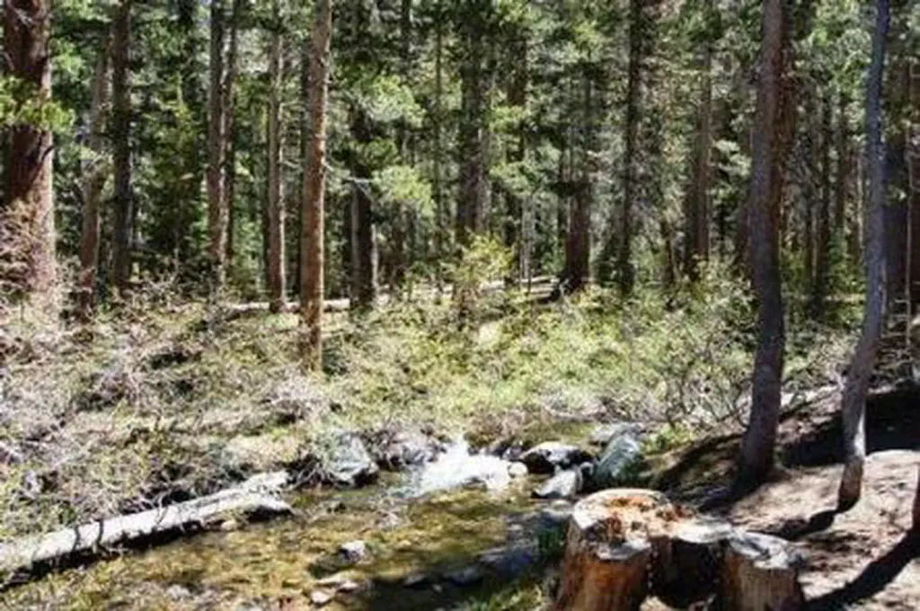 Coldwater Campground - Inyo NF (CA)CampingPhoto: Recreation.gov (RIDB) / public domain2.8 mi
Source: Roamze catalog (indexable pages within 10 miles, PostGIS distance)
 Sky MeadowsHiking · ~3 min drivePhoto: Hike395 (talk · contribs), CC BY 3.0 (via Wikimedia Commons)
 Emerald Lake-Skelton LakeHiking · ~3 min drivePhoto: GSEC, CC BY 2.0 (via Flickr)
 Duck PassHiking · ~4 min drivePhoto: GSEC, CC BY 2.0 (via Flickr)Coldwater Campground to Lake George TrailHiking · ~3 min drivePhoto: Hike395 (talk · contribs), CC BY 3.0 (via Wikimedia Commons)
 COLDWATER CG TO LAKE GEORGEHiking · ~4 min drivePhoto: inkknife_2000 (14 million views), CC BY-SA 2.0 (via Flickr)
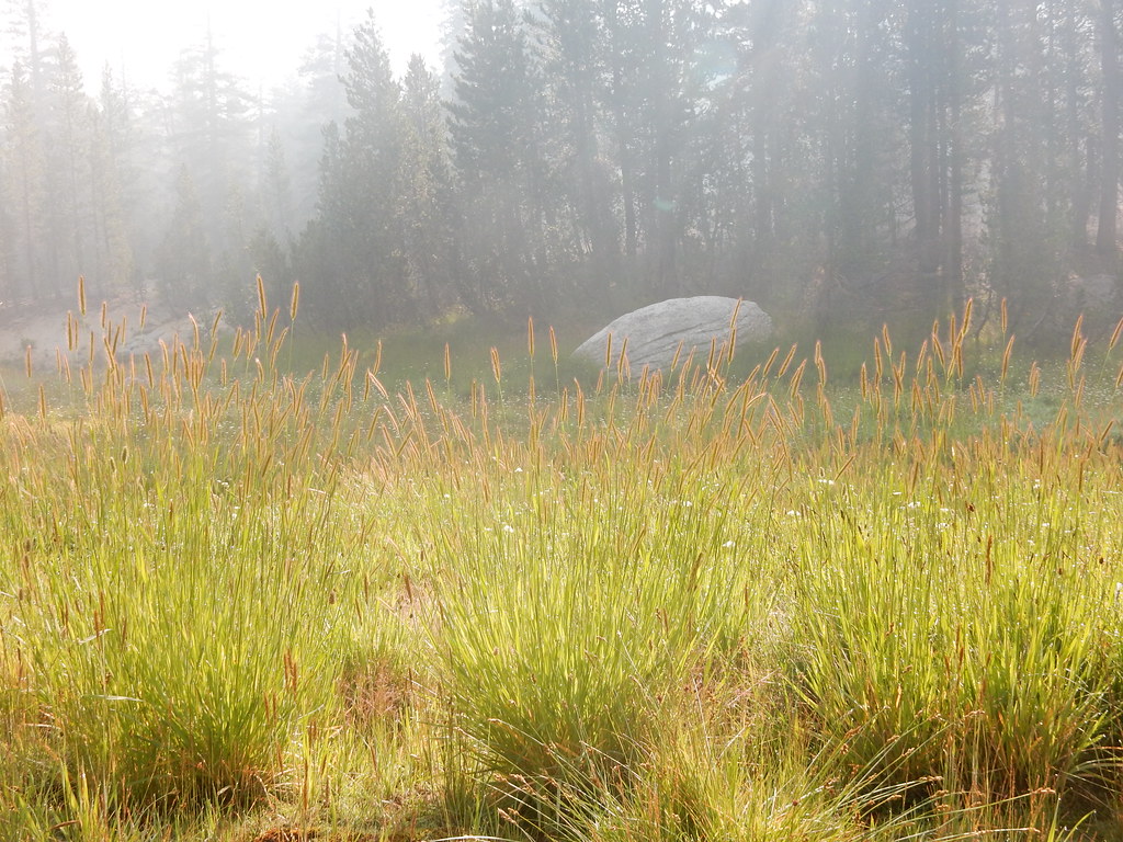 Pumice ButteHiking · ~4 min drivePhoto: Matt Lavin, CC BY-SA 2.0 (via Flickr)
 Mammoth Pass CutoffHiking · ~6 min drivePhoto: Matt Lavin, CC BY-SA 2.0 (via Flickr)
 Pika LakeHiking · ~4 min drivePhoto: tobo, CC BY-SA 2.0 (via Flickr)John Muir TrailHiking · ~6 min drivePhoto: Matt Lavin, CC BY-SA 2.0 (via Flickr)
 Purple LakeHiking · ~6 min drivePhoto: Leif, CC BY 2.0 (via Wikimedia Commons)
