Crocker Park Recreational Trail
 Photo: mliu92, CC BY-SA 2.0 (via Flickr)
- 1.8 mi
- loop
- 223 ft
- climb
- 169 ft
- high point
- Loop
- route
- Jan–Dec
- best months
Crocker Park Recreational Trail is an easy hike of about 1.8 miles with a total elevation gain of 223 feet, making it a low-effort outing close to Bayshore, California, about a mile away. The trail reaches a high point of 169 feet and a low of 23 feet, and it crosses its steepest stretch at about 1.6 miles in, where the grade hits 9 percent. Late summer into fall is the most comfortable time to go. Typical averages from a nearby weather station show highs around 70°F in September and October with only a day or two of rain, while winter brings highs in the upper 50s and roughly 11 wet days a month. The trip takes about half an hour. Owl Canyon Trail and Dairy Ravine Trail both start within a mile, and Ridge Trail is about 0.9 miles away. For an overnight stay, Esplenade Beach campground lies about 4.8 miles off.
Local outfitters
- Point Reyes Outdoors33 mi away
Not on Roamze yet. Their page has how to reach them.
- Owl Canyon TrailHiking0.5 mi
 Dairy Ravine TrailHikingPhoto: mliu92, CC BY-SA 2.0 (via Flickr)0.7 mi
- Ridge TrailHikingPhoto: mliu92, CC BY-SA 2.0 (via Flickr)0.9 mi
 Glen CanyonRock climbingPhoto: Joe Passe, CC BY-SA 2.0 (via Flickr)3.6 mi
 Main Cliff BandRock climbingPhoto: Joe Passe, CC BY-SA 2.0 (via Flickr)3.6 mi
- The Unnatural Act CaveRock climbingPhoto: Joe Passe, CC BY-SA 2.0 (via Flickr)3.7 mi
- Esplenade BeachCamping4.8 mi
- Aquatic Park Cove, Black Point Overnight Anchoring, Sailing Vessels only (auxiliary engine OK)Pier fishing8 mi
Source: Roamze catalog (indexable pages within 10 miles, PostGIS distance)
- Dairy Ravine TrailHiking · ~1 min drivePhoto: mliu92, CC BY-SA 2.0 (via Flickr)
- Ridge TrailHiking · ~2 min drivePhoto: mliu92, CC BY-SA 2.0 (via Flickr)
- Hazelnut TrailHiking · ~14 min drive
- Bog TrailHiking · ~2 min drivePhoto: mliu92, CC BY-SA 2.0 (via Flickr)
 Summit Loop TrailHiking · ~2 min drivePhoto: mliu92, CC BY-SA 2.0 (via Flickr)
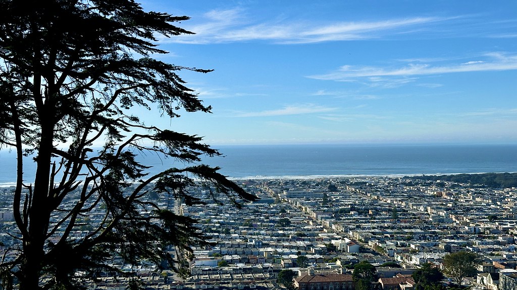 Steep Ravine TrailHiking · ~8 min drivePhoto: lamblukas, CC BY 2.0 (via Flickr)
 Coastal TrailHiking · ~11 min drivePhoto: C-h-r-i-s-D, CC BY 2.0 (via Flickr)
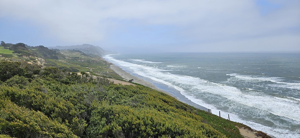 Battery Davis TrailHiking · ~8 min drivePhoto: Capt' Gorgeous, CC BY 2.0 (via Flickr)
 Valley View TrailHiking · ~14 min drivePhoto: Vicki Moore, CC BY 2.0 (via Wikimedia Commons)
 Historic TrailHiking · ~8 min drivePhoto: ABIJXY, CC BY 3.0 (via Wikimedia Commons)
Also worth it near here
Best time to visit Crocker Park Recreational Trail
Best months: Year-round. Best months have typical highs of 55–85 °F, lows of 30 °F or warmer (32 °F where the station doesn't record snow), at most one snowy day and no more than 12 wet days.
Jan
58° / 47°
11 wet
Feb
60° / 48°
11 wet
Mar
62° / 49°
11 wet
Apr
63° / 50°
7 wet
May
64° / 51°
4 wet
Jun
67° / 53°
2 wet
Jul
66° / 54°
1 wet
Aug
68° / 55°
1 wet
Sep
70° / 56°
1 wet
Oct
70° / 54°
4 wet
Nov
64° / 51°
8 wet
Dec
58° / 47°
11 wet
Typical high / low (°F) and days with rain or snow, 1991–2020. Measured at San Francisco Dwtn, CA, 5.4 mi away at 150 ft. This station doesn't record snowfall. Source: NOAA NCEI U.S. Climate Normals 1991–2020.

Map and trail data © OpenStreetMap contributors
