Bog Trail
 Photo: mliu92, CC BY-SA 2.0 (via Flickr)
- 0.3 mi
- round trip
- 126 ft
- climb
- 689 ft
- high point
- Out and back
- route
- Jan–Dec
- best months
Bog Trail is a short, easy hike in San Bruno Mountain State Park, on county land in California. The trail is about 0.3 miles from the start to the turnaround, with a total round-trip distance of about 0.6 miles and a total elevation gain of about 126 feet. The climb is steady, and the steepest part comes early, at about 5% grade. Late summer into early fall is the most comfortable time to go. Typical averages from a nearby weather station in Pacifica show September highs around 72°F with lows near 53°F and only about two wet days in the month. Winter brings highs in the upper 50s and roughly 10 to 11 wet days a month. Several other trails sit close by. Saddle Loop Trail is about 0.3 miles away and Old Guadalupe Trail about 0.4 miles. Dairy Ravine Trail is about 0.6 miles off. For climbing, Glen Canyon is about 2.8 miles away.
Local outfitters
- Point Reyes Outdoors32 mi away
Not on Roamze yet. Their page has how to reach them.
- Saddle Loop TrailHiking0.3 mi
- Old Guadalupe TrailHiking0.4 mi
- Dairy Ravine TrailHikingPhoto: mliu92, CC BY-SA 2.0 (via Flickr)0.6 mi
 Glen CanyonRock climbingPhoto: Joe Passe, CC BY-SA 2.0 (via Flickr)2.8 mi
 Main Cliff BandRock climbingPhoto: Joe Passe, CC BY-SA 2.0 (via Flickr)2.9 mi
- The Unnatural Act CaveRock climbingPhoto: Joe Passe, CC BY-SA 2.0 (via Flickr)2.9 mi
- Esplenade BeachCamping4.5 mi
- Aquatic Park Cove, Black Point Overnight Anchoring, Sailing Vessels only (auxiliary engine OK)Pier fishing7.5 mi
Source: Roamze catalog (indexable pages within 10 miles, PostGIS distance)
- Dairy Ravine TrailHiking · ~1 min drivePhoto: mliu92, CC BY-SA 2.0 (via Flickr)
 Summit Loop TrailHiking · ~1 min drivePhoto: mliu92, CC BY-SA 2.0 (via Flickr)
 Crocker Park Recreational TrailHiking · ~2 min drivePhoto: mliu92, CC BY-SA 2.0 (via Flickr)
- Ridge TrailHiking · ~2 min drivePhoto: mliu92, CC BY-SA 2.0 (via Flickr)
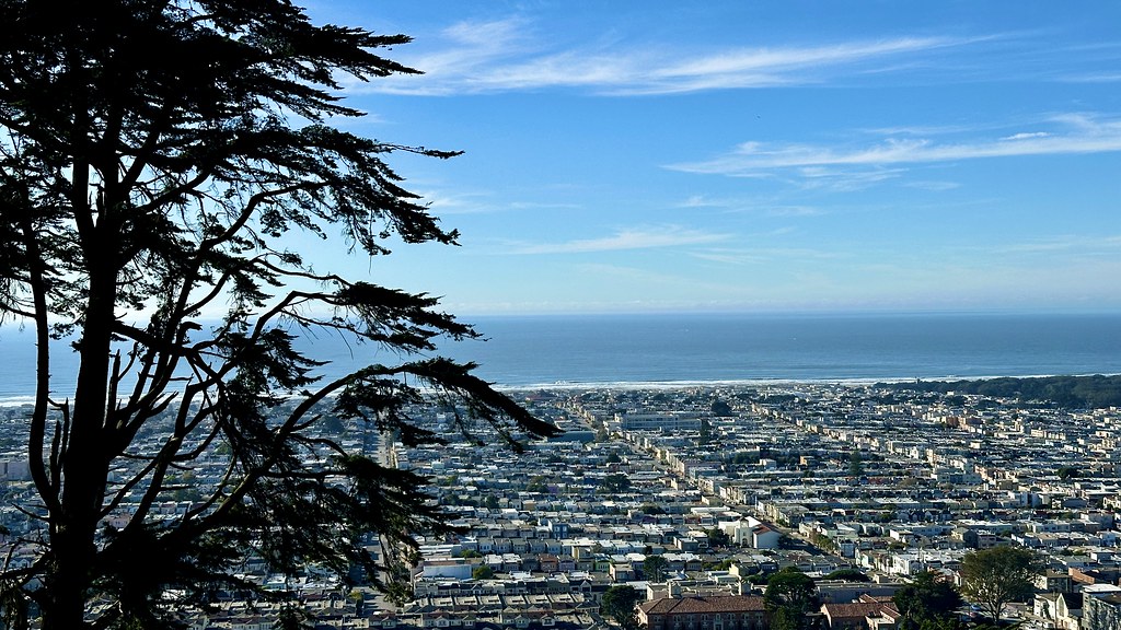 Steep Ravine TrailHiking · ~6 min drivePhoto: lamblukas, CC BY 2.0 (via Flickr)
 Coastal TrailHiking · ~11 min drivePhoto: C-h-r-i-s-D, CC BY 2.0 (via Flickr)
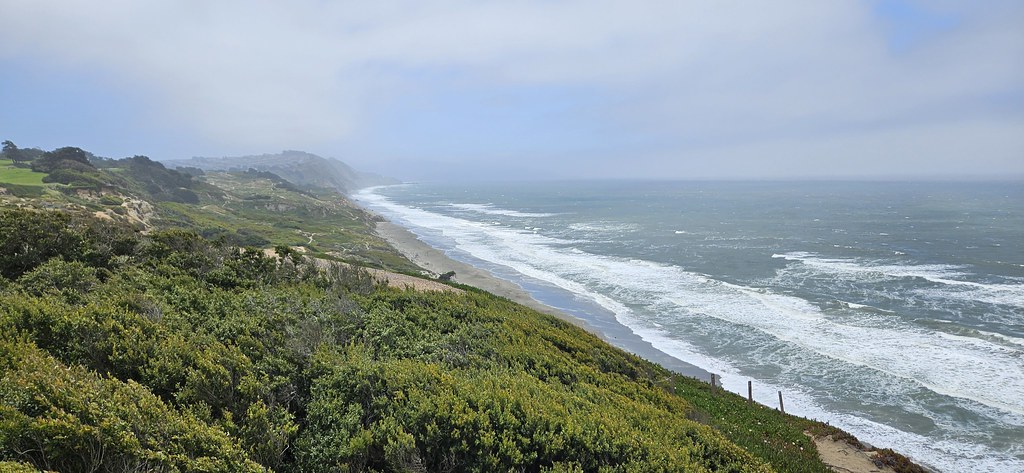 Battery Davis TrailHiking · ~7 min drivePhoto: Capt' Gorgeous, CC BY 2.0 (via Flickr)
 Valley View TrailHiking · ~15 min drivePhoto: Vicki Moore, CC BY 2.0 (via Wikimedia Commons)
 Historic TrailHiking · ~7 min drivePhoto: ABIJXY, CC BY 3.0 (via Wikimedia Commons)
- Montara Mountain TrailHiking · ~15 min drivePhoto: Vicki Moore, CC BY 2.0 (via Wikimedia Commons)
Best time to visit Bog Trail
Best months: Year-round. Best months have typical highs of 55–85 °F, lows of 30 °F or warmer (32 °F where the station doesn't record snow), at most one snowy day and no more than 12 wet days.
Jan
58° / 45°
11 wet
Feb
60° / 46°
11 wet
Mar
61° / 46°
9 wet
Apr
64° / 48°
6 wet
May
67° / 49°
4 wet
Jun
69° / 51°
2 wet
Jul
69° / 52°
1 wet
Aug
71° / 53°
1 wet
Sep
72° / 53°
2 wet
Oct
70° / 52°
4 wet
Nov
64° / 50°
7 wet
Dec
59° / 46°
10 wet
Typical high / low (°F) and days with rain or snow, 1991–2020. Measured at Pacifica 4 Sse, CA, 7.8 mi away at 475 ft. Source: NOAA NCEI U.S. Climate Normals 1991–2020.

Map and trail data © OpenStreetMap contributors
