Mountain Glen Campground
Campground
Campground · 1.7 mi from the trail
Alert in the area
The Forest Service lists 3 alerts for Inyo National Forest.
Help Halt Golden Mussel Invasion
Agency alert covering Inyo National Forest · USFS · Inyo National Forest
Ansel Adams and John Muir Wilderness Campfire Restrictions
Agency alert covering Inyo National Forest · Order 05-04-50-25-04 · USFS · Inyo National Forest
Golden Trout and Hoover Wilderness Campfire Restrictions
Agency alert covering Inyo National Forest · Order 05-04-50-25-05 · USFS · Inyo National Forest
As of · Source: USFS · Inyo National Forest. Agencies don't list every closure — check before you go.
Coyote Ridge Trail is an easy hike in the White Mountain Ranger District of Inyo National Forest, managed by the Forest Service. The trail is about 1.1 miles long, and the round trip adds up to roughly 2.2 miles with a total elevation gain of about 596 feet. The route starts at about 11,200 feet and reaches a high point of about 11,447 feet, with the steepest stretch coming near the 1-mile mark at about 15%. The trail is short and low-key, so it works well as a quick outing. Mountain bikers will find the 31E303 and 31E302 trails about 0.8 miles away. Climbers can head to Parcher's Bluff, about a mile off, and Mountain Glen Campground sits about 1.7 miles away for anyone planning an overnight stay.
Mountain Glen Campground
Campground
Bishop Creek Lodge Bar
Bar
Paiute-Shoshone Indian Cultural Center
Museum
Places © OpenStreetMap contributors
More in BishopNot on Roamze yet. Their page has how to reach them.
 Roadside Fire BoulderRock climbingPhoto: RuggyBearLA, CC BY 2.0 (via Flickr)1.7 mi
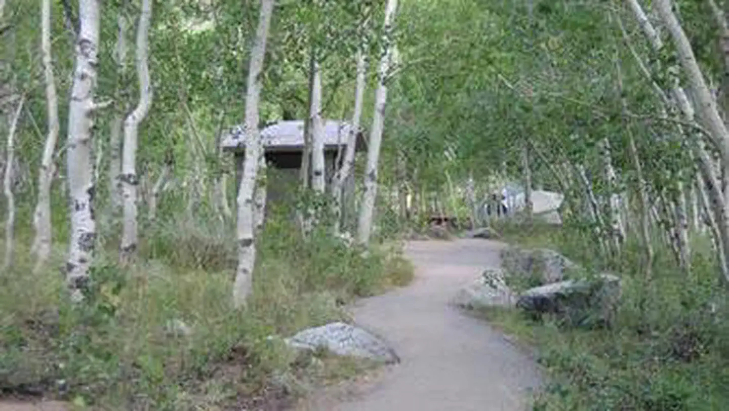 Table MountainRiver fishing1.8 mi
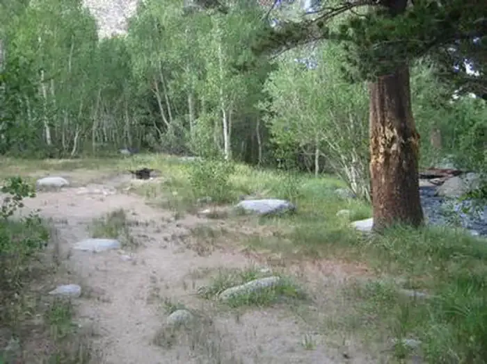 Table Mountain (inyo)CampingPhoto: Recreation.gov (RIDB) / public domain1.8 mi
Source: Roamze catalog (indexable pages within 10 miles, PostGIS distance)
 BAKER SUMMITHiking · ~5 min drivePhoto: RuggyBearLA, CC BY 2.0 (via Flickr)Green Lake TrailHiking · ~5 min drivePhoto: RuggyBearLA, CC BY 2.0 (via Flickr)
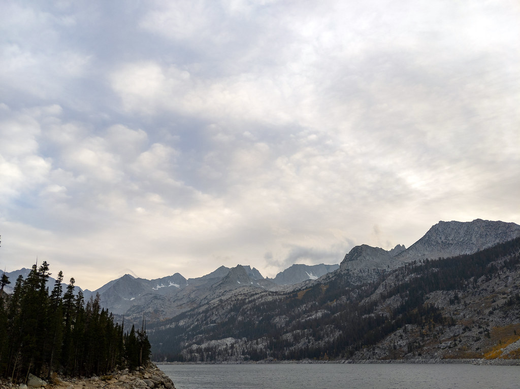 CloudripperHiking · ~6 min drivePhoto: RuggyBearLA, CC BY 2.0 (via Flickr)
 Mary Louise LakeHiking · ~7 min drivePhoto: Moo.The.Cow, CC BY 2.0 (via Flickr)Rainbow Pack Station TrailHiking · ~6 min drivePhoto: RuggyBearLA, CC BY 2.0 (via Flickr)
 TYEE LAKESHiking · ~6 min drivePhoto: inkknife_2000 (14 million views), CC BY-SA 2.0 (via Flickr)Picture PuzzleHiking · ~6 min drivePhoto: RuggyBearLA, CC BY 2.0 (via Flickr)
 GRASS LAKE OUTLETHiking · ~8 min drivePhoto: inkknife_2000 (14 million views), CC BY-SA 2.0 (via Flickr)
 Treasure LakesHiking · ~7 min drivePhoto: RuggyBearLA, CC BY 2.0 (via Flickr)
 Sabrina Basin TrailHiking · ~9 min drivePhoto: mjhbower, CC BY-SA 4.0 (via Wikimedia Commons)
